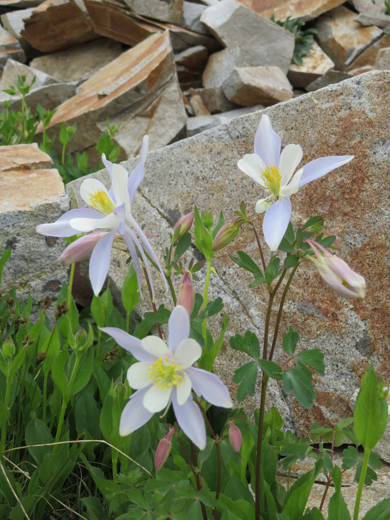
Redcloud & Sunshine Peaks, summited September 9, 2018
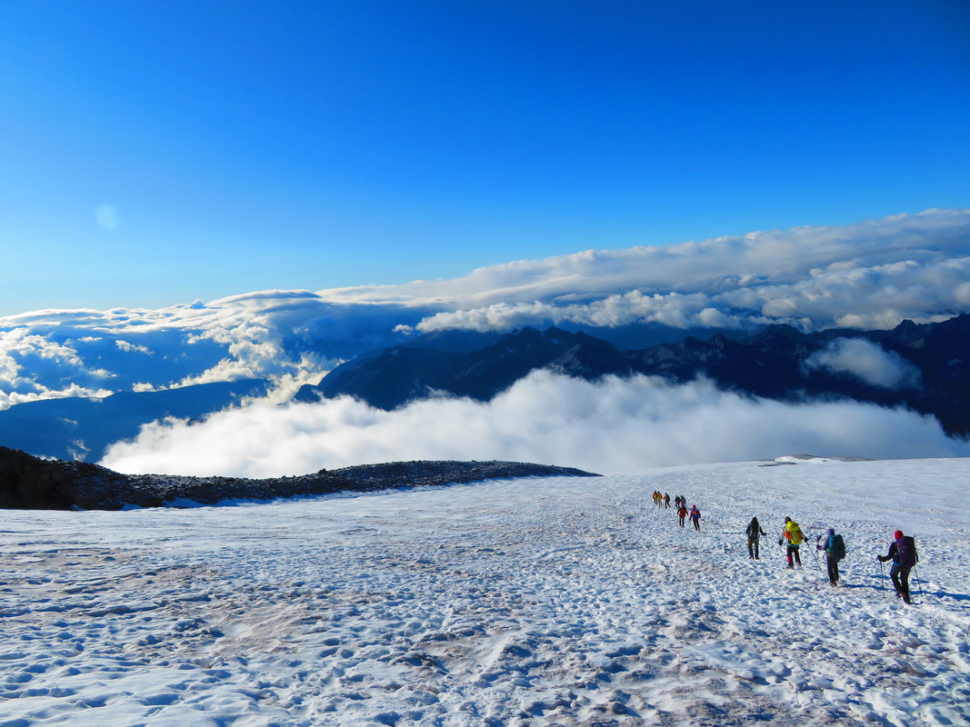
Triumph on Mount Rainier
Summited August 25, 2018
Last year, about this time, I shared with you the story of my summit attempt on Mount Rainier, the tallest peak in Washington, the most glaciated peak in the contiguous USA, and an active volcano. Due to simple bad luck, with winds howling, and the route deteriorating overnight, we turned back. I discovered after the fact that September really is not the best time to attempt to summit the mountain. Once I returned home, it didn’t take me long to sign up on the RMI website for another go, this time in late August. You know the story of my defeat, so now let me tell you my story of success.
I arrived in Ashford, WA on a smoky, hazy and hot Tuesday afternoon. Orientation didn’t start until the next day, so I bumbled around the small town for a day and a half. On Wednesday afternoon we met our team members and guides, and went through a thorough gear check. On Thursday we were all shuttled to Paradise to have our snow school about two miles up the mountain, on a small snowfield. Here we learned all the basics of self-arresting a fall, how to use our crampons, rest stepping, pressure breathing and efficient rope travel.
And then suddenly Friday morning arrived. It was go-time! I was trepidacious because the morning dawned cool, misty and foggy, just as is had last year. My biggest fear was to fail yet again due to something beyond my control. Over the past year, I had prepared in every way that I could: mentally, I knew what to expect; physically, I trained hard, because I knew what kind of strength this feat would require, what kind of suffering I would have to endure; emotionally, I knew that I would need a calm, focused mental state to succeed. But the mood of the mountain I had no jurisdiction over, and even though there is nothing to be done about that, it worried me the most.
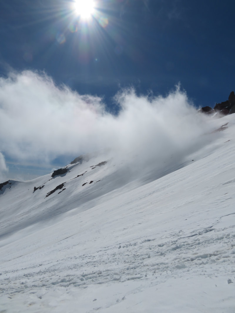
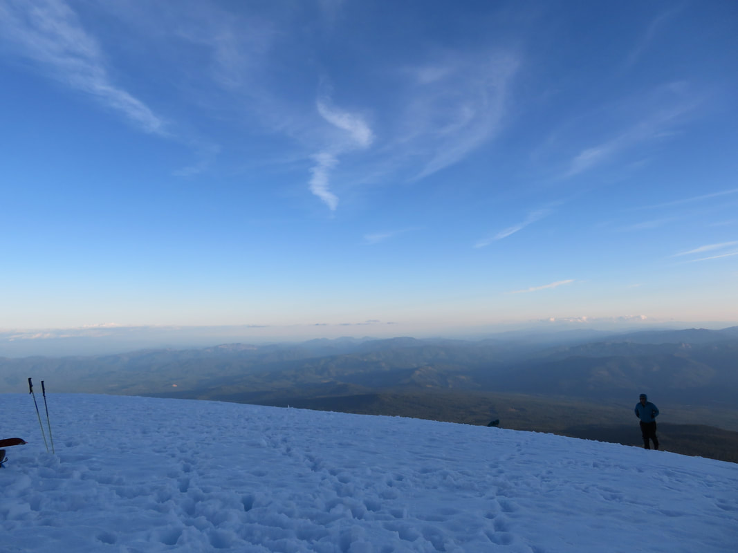
However, my fears were lifted after we clambered about halfway up the Muir Snowfield. Our group left Pebble Creek and the foggy conditions far behind, and were greeted with bright, warm sunshine. Below, all of Washington was slumbering beneath a thick blanket of fog, dotted with a few mountains in the distance, floating like glaciers on a vast sea. Above us, the summit of Rainier stretched upwards into deep, blue and clear skies. As I reapplied sunscreen, sipped on water, and munched on snacks, my inner flame burned bright.
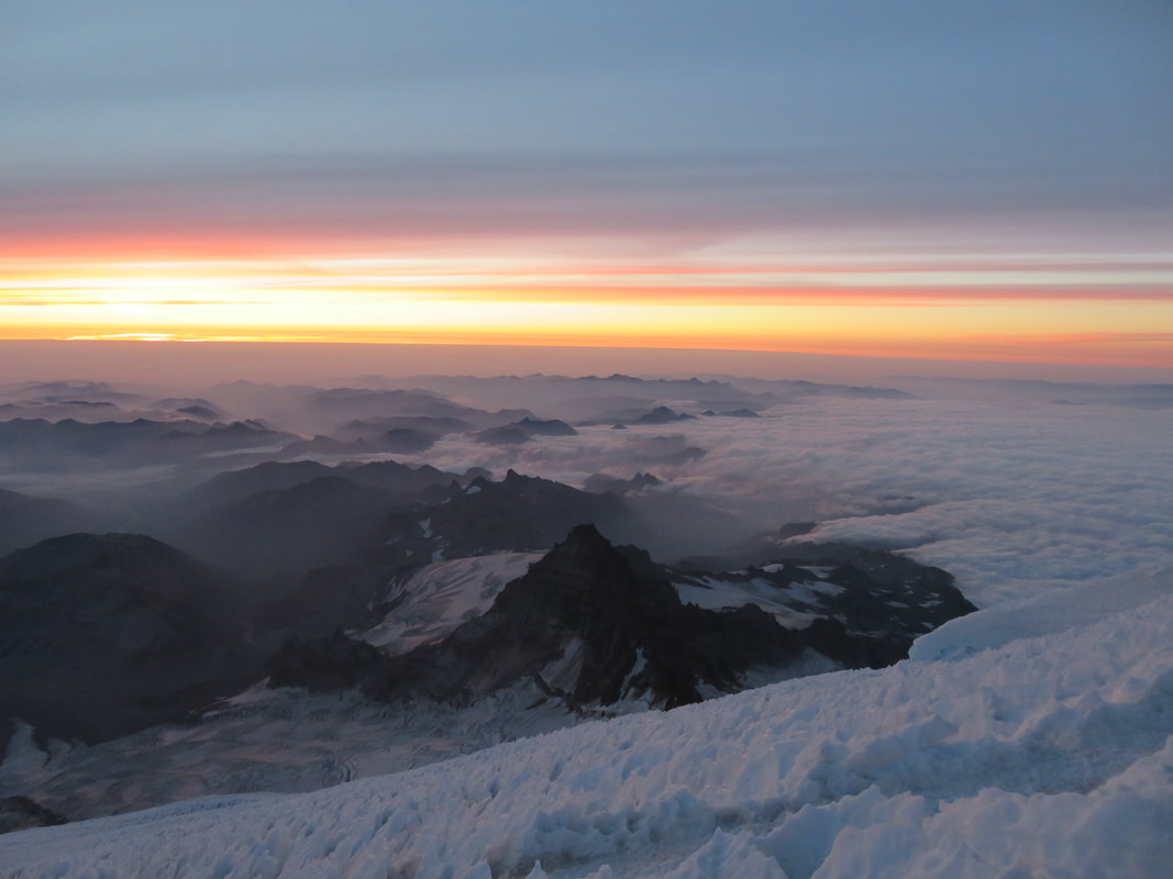
By 3 o’clock we reached Camp Muir, about 10,000 feet up. Each of us picked a spot in the bunkhouse, then settled on the rocks and dirt outside to eat our freeze-dried dinners and nervously talk about tomorrow’s big climb. Sometime later, our three guides, Pete, Dustin and Ross, came and talked to us about tomorrow’s game plan, and assign rope teams. Then, by 6 o’clock, it was lights out, so to speak. Time to rest up and get ready for the big day. Of course, I couldn’t sleep. First of all, who goes to bed at 6? I was too hyped up, and had to pee. So at just about sundown, I snuck out of the bunkhouse and was greeted with the most beautiful sunset. I found Dan at the edge of the snowfield, taking photos, and spent a minute with him before going back to “sleep”.
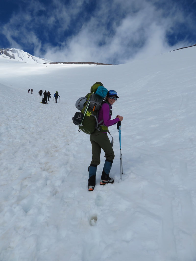
At 1:30 in the morning, Pete came in and woke us. I shot out of bed like a rocket; I think I must have finally fallen asleep just before our wake-up call. I knew we had an hour to get ourselves ready, so I meticulously dressed and ate my breakfast. Baselayer, avalanche transceiver strapped across my chest, eat a bite of oatmeal. Fleece, buff snugged over my head and ears, sip some tea. Base layer bottoms, climbing pants, socks, harness cinched tight, more oatmeal. Helmet, headlamp, boots strapped on tight, gaiters, gloves, finish eating and head out the door. Boy that one hour flew by! I was greeted outside by a nearly full moon and the shimmering stars glittering off the snow. Not a breath of wind stirred the air and, relatively speaking, it was warm. I had a good feeling about this. I quickly loaded my pack with the few things I would need, like all my warm clothes, food and water. Lastly I strapped my crampons to my boots, shouldered my pack, grabbed my ice axe, and met my guide Ross. And just like that, we were all roped in, three team members per guide, and heading across the Cowlitz Glacier beneath the light of the moon, guided by our headlamps.
In less than an hour, we reached the end of the Cowlitz and climbed through Cathedral Gap, skirting the Ingraham Glacier on our right. We had perhaps another fifteen minutes to go before our first break on the Ingraham Flats. Here is the only time I was actually tremendously cold. Even though I was dressed lightly crossing the Cowlitz, I was still sweating, and even in my down parka I was shivering uncontrollably during our break.I knew I’d be fine once we started moving again, which proved to be exactly the case. It’s so important to keep your wits about you during this arduous climb; negative thoughts can creep in very easily and fester, so the more positive you can be, the better.
As we crossed the Ingraham Flats, I began to recall that right about this area is where I was forced to turn around last year. I thought I might recognize the place, but the lively glacier shifts and stirs every minute of the day, so I never could quite tell where that fateful spot was. Just as well, I thought. It’s a new year and a fresh chance, and there’s no sense in dwelling in the past.
For me, the crux of the climb was the Disappointment Cleaver, a one-hour slog up steep, loose rock, sand and massive boulders. Add to that being short-roped together and trying to balance with heavy mountaineering boots and crampons scraping and clawing against the rocks. By the time we reached our next break at the top of the Cleaver, we were all spent. I remember sitting on my pack, trying to force down as much food and water as I could manage, and gazing up at this black, looming mass of a mountain, with little tiny headlamps wiggling their way upwards. For a moment, I felt such hopelessness seep into me. The summit was so far away, this was impossible. I could just turn around, go back to my warm sleeping bag, end this suffering. And as quickly, another thought permeated my mind: if I quit, this decision would haunt me terribly. I had more left to give, and instead of looking at the mountain as a whole, I decided to look at one step, one section, one break at a time. Little by little, I could do this. Unfortunately, one of our climbers, Scott, felt otherwise; he decided that he was done. He was loopy, afflicted with altitude sickness, and lagging so far behind on the rope that he was tugging on the climber in front of him. He made the selfless choice to turn back, and Dustin took him back to Camp Muir. After re-shuffling the rope teams to accommodate every climber, Pete’s next statement carried a heavy weight with it: he needed the rest of us to commit 100% to reach the summit and descend all the way back down to Paradise “in good style”, because if one more climber decided that he or she could not continue, the whole team would have to turn around, as we wouldn’t have enough guides to safely keep ascending. The severity of this settled heavily on all our shoulders. No one wants to be “that guy” that was responsible for the whole climb to fail. No pressure though.
After saying goodbye to Scott and Dustin, our two teams of five continued upwards. We crossed the Emmons Glacier, climbing up and around icy seracs and crossing over rickety ladders spanning deep crevasses. As I allowed the guide ropes to slide through my gloved fingers, my crampons biting into the spongy wood, maintaining careful balance over the swaying, 12-foot ladder, the grandeur of this place really began to sink it. These maws in the ice are sometimes without visible bottoms, an icy tomb that will hold those who are not careful prisoner for eternity. It’s best to keep a strong respect for the mountain and its titanic forces in the forefront of your mind.
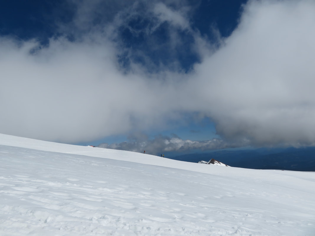
Slowly the darkness began to fade and the horizon started to lighten. We switched off our headlamps as we came into our final break before the last big push to the summit. As we sat among the penitentes, we were gifted an amazing sunrise. The whole horizon lit up with golds, reds and oranges, and suddenly the sun burst over the horizon and gave life to the world once more. Below, lacy fingers of smoke and fog drifted through the hills and valleys. Beside us, the penitentes took on the hue of the sky, shimmering pink and yellow, blue and purple. It was magical, watching the sun rise from such a high and majestic place. It gave all of us a much-needed push to reach the summit.
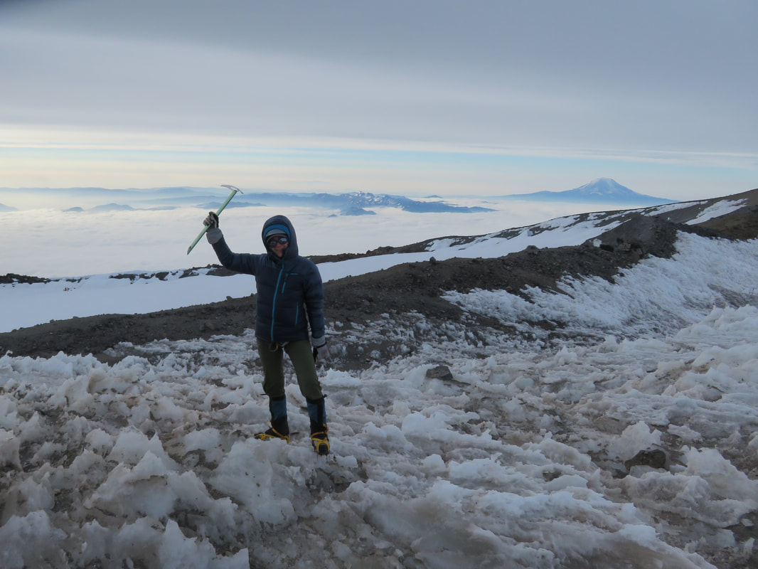
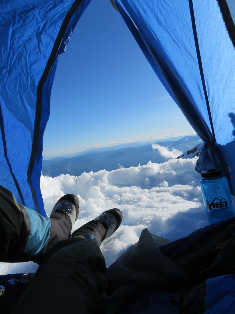
The last push to the summit had begun. It should take only another hour, maybe less, but this was one of the hardest hours of my life. Mount Rainier would not relinquish her summit easily; I had to earn it. I gave her everything I had left in me, and at 7:30 in the morning, we crested the summit crater. As I descended a few feet into the crater, tears of happiness welled up and spilled down my cold cheeks, and promptly froze in the icy wind. As I walked the last few feet to my guides, I brushed them from my face and regained composure and was greeted with high fives, hugs and pats on the back. We’d done it!
Only one more thing remained: a short, 40-minute round-trip hike to Columbia Crest. I would regret not doing this last little leg, so off I went with the rest of the team, except for Will and Brian, who stayed back with guide Ross, to rest. The crater we crossed very quickly, then climbed a small, bare ridge dotted with steam vents and warm patches of earth, a reminder of the powerful geologic forces churning just beneath our feet. A few steps further and we came to a rock outcropping, where the summit register was located. With trembling fingers I signed my name, the date, and where I was from. I turned into such a sap up here, tears threatening again, but I really didn’t care. I’d proven my tenacity, and after having failed last year, this journey was definitely a raw and emotional one.
We spent maybe fifteen minutes on Columbia Crest, taking in the views and getting copious amounts of summit pictures. By now though, the sun had tucked behind a veil of clouds and the weather was changing. The wind howled on the Crest, and soon we made our way back down to the crater, where the next half of the climb would begin: a harrowing, 9000-foot descent to safety and success. The guides picked up the pace on our descent, not intending to stop for a break until we reached the bottom of Disappointment Cleaver. I was exhausted, but I’d promised 100% that I could do this “in good style”, so I kept my wits about myself and kept putting one foot in front of the other. Even over crevasses and on fixed lines I had no choice but to maintain the pace, having not even a moment to hesitate; I had to commit to each movement, hoping it wouldn’t be in error.
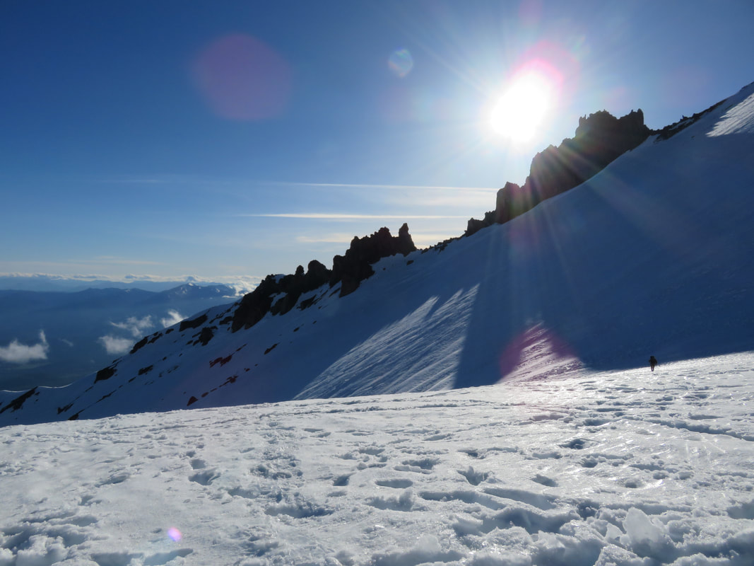
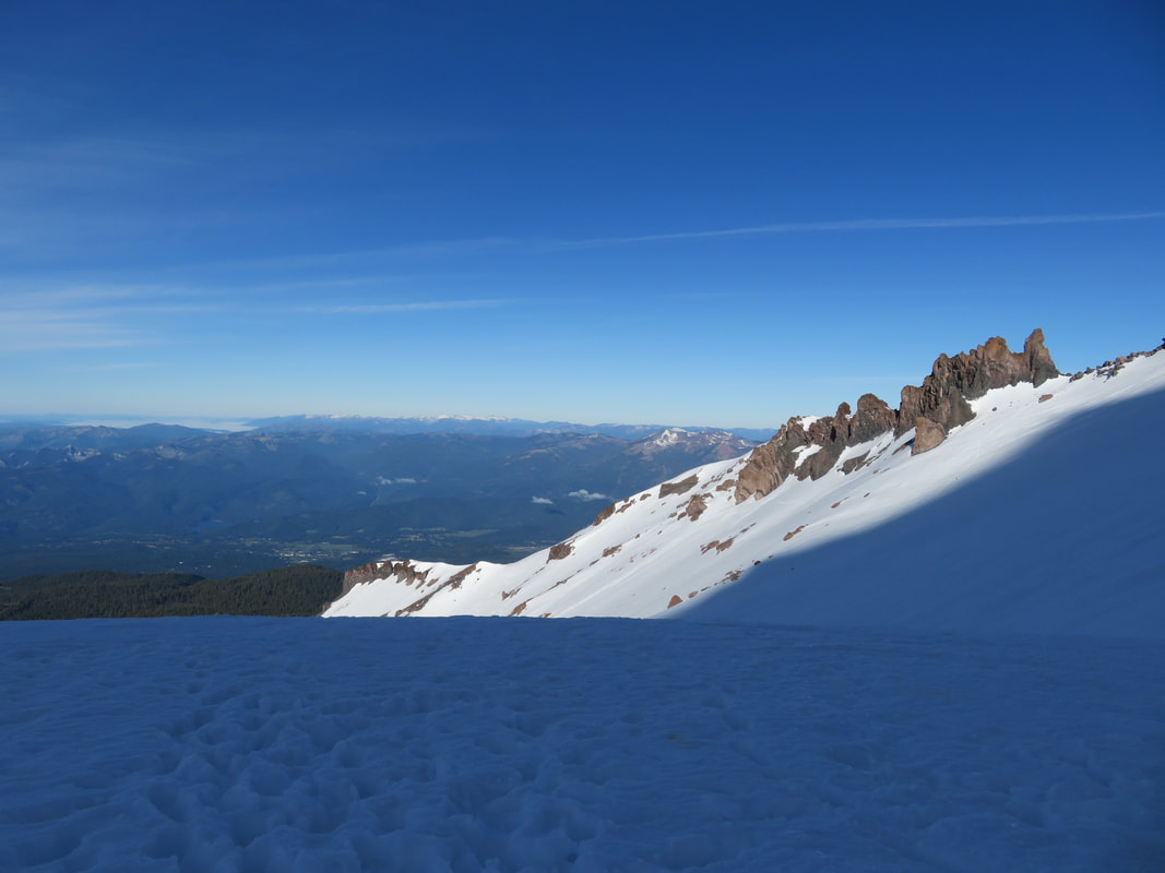
At the base of the Cleaver, we took a short rest. Camp Muir was still so far away, and I could tell that everyone was suffering, including myself. Hips, knees and IT bands were screaming, thinking was muddled, and crampons often snagged and tore at gaiters and pants. But no rest for the weary. We had to keep moving. I turned my head to look back up at the summit and saw it was shrouded in clouds, and tiny flurries of snow started to fall. I was so happy that we’d made our weather window.
By one in the afternoon we reached Camp Muir. The guides coiled each of us in by our ropes, unclipping us and slapping our shoulders with congratulations. I was on the tail-end of the rope teams, coming in last, but determined to do so with a smile on my face and a strong pace. We reunited with Scott, now recovered, and Dustin greeted me with a great big hug (Dustin was one of my guides last year, and he was stoked that I made the summit this time). We had roughly an hour to pack, rest and look after ourselves. I opted to pack first, which didn’t take much time, and then collapsed in the remarkably comfortable dirt outside the bunkhouse and took a nap. In between snoozes, I ate as much food as I could, drank water like a fish, and chatted with my teammates. Dan was suffering from a decent headache, so I dug some ibuprofen out of my pack for him. Brian had bruised toe nails that made me cringe, and all of us had blisters and bruises, cuts and scrapes. But it didn’t matter. All the pain and discomfort was worth it. We had achieved something incredible!
The last leg of the journey was a 2-hour descent down the Muir Snowfield. We grinned and bore the pain, boot skiing as much as possible. Our kind guides even allowed us a few blissful glissades. Down, down, down we went, feeling each inch of those 9000 feet, slipping below the cloud line into a light drizzle, which slowly turned into a steady rain. At Pebble Creek, we rested, put on our Gore-Tex and trail shoes, retiring the heavy mountaineering boots.
At last, Paradise came into view. We were done! We’d made it! It was over! Across the way, the Tatoosh Range peaked out of the clouds. Above us, Rainier hid her summit from those of us below. I smiled, remembering what was up there, what I’d seen, and how it had changed my life. Malcolm Forbes said it well when he wrote “victory is sweetest to those who have known defeat”.
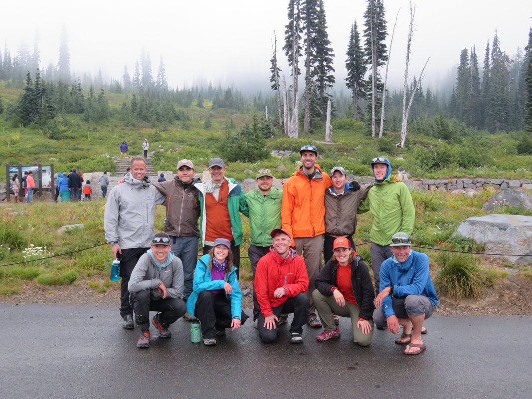
Dropping our packs in the parking lot, we posed for team pictures, then loaded into the RMI shuttle and drove back to RMI Basecamp in Ashford. After twenty minutes of getting settled and organized, we re-grouped at the Basecamp Bar and Grill with our guides. Beers and pizza were ordered, certificates of achievement were handed out, and the celebration ensued. What a marvelous journey, and I know it’s only the beginning. For now though, Rainier has earned a very special place in my heart, and she’ll always stay there.
If you’d like to stay up to date with my adventures, please follow me in Instagram @miraclestar05.
I arrived in Ashford, WA on a smoky, hazy and hot Tuesday afternoon. Orientation didn’t start until the next day, so I bumbled around the small town for a day and a half. On Wednesday afternoon we met our team members and guides, and went through a thorough gear check. On Thursday we were all shuttled to Paradise to have our snow school about two miles up the mountain, on a small snowfield. Here we learned all the basics of self-arresting a fall, how to use our crampons, rest stepping, pressure breathing and efficient rope travel.
And then suddenly Friday morning arrived. It was go-time! I was trepidacious because the morning dawned cool, misty and foggy, just as is had last year. My biggest fear was to fail yet again due to something beyond my control. Over the past year, I had prepared in every way that I could: mentally, I knew what to expect; physically, I trained hard, because I knew what kind of strength this feat would require, what kind of suffering I would have to endure; emotionally, I knew that I would need a calm, focused mental state to succeed. But the mood of the mountain I had no jurisdiction over, and even though there is nothing to be done about that, it worried me the most.
However, my fears were lifted after we clambered about halfway up the Muir Snowfield. Our group left Pebble Creek and the foggy conditions far behind, and were greeted with bright, warm sunshine. Below, all of Washington was slumbering beneath a thick blanket of fog, dotted with a few mountains in the distance, floating like glaciers on a vast sea. Above us, the summit of Rainier stretched upwards into deep, blue and clear skies. As I reapplied sunscreen, sipped on water, and munched on snacks, my inner flame burned bright.
By 3 o’clock we reached Camp Muir, about 10,000 feet up. Each of us picked a spot in the bunkhouse, then settled on the rocks and dirt outside to eat our freeze-dried dinners and nervously talk about tomorrow’s big climb. Sometime later, our three guides, Pete, Dustin and Ross, came and talked to us about tomorrow’s game plan, and assign rope teams. Then, by 6 o’clock, it was lights out, so to speak. Time to rest up and get ready for the big day. Of course, I couldn’t sleep. First of all, who goes to bed at 6? I was too hyped up, and had to pee. So at just about sundown, I snuck out of the bunkhouse and was greeted with the most beautiful sunset. I found Dan at the edge of the snowfield, taking photos, and spent a minute with him before going back to “sleep”.
At 1:30 in the morning, Pete came in and woke us. I shot out of bed like a rocket; I think I must have finally fallen asleep just before our wake-up call. I knew we had an hour to get ourselves ready, so I meticulously dressed and ate my breakfast. Baselayer, avalanche transceiver strapped across my chest, eat a bite of oatmeal. Fleece, buff snugged over my head and ears, sip some tea. Base layer bottoms, climbing pants, socks, harness cinched tight, more oatmeal. Helmet, headlamp, boots strapped on tight, gaiters, gloves, finish eating and head out the door. Boy that one hour flew by! I was greeted outside by a nearly full moon and the shimmering stars glittering off the snow. Not a breath of wind stirred the air and, relatively speaking, it was warm. I had a good feeling about this. I quickly loaded my pack with the few things I would need, like all my warm clothes, food and water. Lastly I strapped my crampons to my boots, shouldered my pack, grabbed my ice axe, and met my guide Ross. And just like that, we were all roped in, three team members per guide, and heading across the Cowlitz Glacier beneath the light of the moon, guided by our headlamps.
In less than an hour, we reached the end of the Cowlitz and climbed through Cathedral Gap, skirting the Ingraham Glacier on our right. We had perhaps another fifteen minutes to go before our first break on the Ingraham Flats. Here is the only time I was actually tremendously cold. Even though I was dressed lightly crossing the Cowlitz, I was still sweating, and even in my down parka I was shivering uncontrollably during our break.I knew I’d be fine once we started moving again, which proved to be exactly the case. It’s so important to keep your wits about you during this arduous climb; negative thoughts can creep in very easily and fester, so the more positive you can be, the better.
As we crossed the Ingraham Flats, I began to recall that right about this area is where I was forced to turn around last year. I thought I might recognize the place, but the lively glacier shifts and stirs every minute of the day, so I never could quite tell where that fateful spot was. Just as well, I thought. It’s a new year and a fresh chance, and there’s no sense in dwelling in the past.
For me, the crux of the climb was the Disappointment Cleaver, a one-hour slog up steep, loose rock, sand and massive boulders. Add to that being short-roped together and trying to balance with heavy mountaineering boots and crampons scraping and clawing against the rocks. By the time we reached our next break at the top of the Cleaver, we were all spent. I remember sitting on my pack, trying to force down as much food and water as I could manage, and gazing up at this black, looming mass of a mountain, with little tiny headlamps wiggling their way upwards. For a moment, I felt such hopelessness seep into me. The summit was so far away, this was impossible. I could just turn around, go back to my warm sleeping bag, end this suffering. And as quickly, another thought permeated my mind: if I quit, this decision would haunt me terribly. I had more left to give, and instead of looking at the mountain as a whole, I decided to look at one step, one section, one break at a time. Little by little, I could do this. Unfortunately, one of our climbers, Scott, felt otherwise; he decided that he was done. He was loopy, afflicted with altitude sickness, and lagging so far behind on the rope that he was tugging on the climber in front of him. He made the selfless choice to turn back, and Dustin took him back to Camp Muir. After re-shuffling the rope teams to accommodate every climber, Pete’s next statement carried a heavy weight with it: he needed the rest of us to commit 100% to reach the summit and descend all the way back down to Paradise “in good style”, because if one more climber decided that he or she could not continue, the whole team would have to turn around, as we wouldn’t have enough guides to safely keep ascending. The severity of this settled heavily on all our shoulders. No one wants to be “that guy” that was responsible for the whole climb to fail. No pressure though.
After saying goodbye to Scott and Dustin, our two teams of five continued upwards. We crossed the Emmons Glacier, climbing up and around icy seracs and crossing over rickety ladders spanning deep crevasses. As I allowed the guide ropes to slide through my gloved fingers, my crampons biting into the spongy wood, maintaining careful balance over the swaying, 12-foot ladder, the grandeur of this place really began to sink it. These maws in the ice are sometimes without visible bottoms, an icy tomb that will hold those who are not careful prisoner for eternity. It’s best to keep a strong respect for the mountain and its titanic forces in the forefront of your mind.
Slowly the darkness began to fade and the horizon started to lighten. We switched off our headlamps as we came into our final break before the last big push to the summit. As we sat among the penitentes, we were gifted an amazing sunrise. The whole horizon lit up with golds, reds and oranges, and suddenly the sun burst over the horizon and gave life to the world once more. Below, lacy fingers of smoke and fog drifted through the hills and valleys. Beside us, the penitentes took on the hue of the sky, shimmering pink and yellow, blue and purple. It was magical, watching the sun rise from such a high and majestic place. It gave all of us a much-needed push to reach the summit.
The last push to the summit had begun. It should take only another hour, maybe less, but this was one of the hardest hours of my life. Mount Rainier would not relinquish her summit easily; I had to earn it. I gave her everything I had left in me, and at 7:30 in the morning, we crested the summit crater. As I descended a few feet into the crater, tears of happiness welled up and spilled down my cold cheeks, and promptly froze in the icy wind. As I walked the last few feet to my guides, I brushed them from my face and regained composure and was greeted with high fives, hugs and pats on the back. We’d done it!
Only one more thing remained: a short, 40-minute round-trip hike to Columbia Crest. I would regret not doing this last little leg, so off I went with the rest of the team, except for Will and Brian, who stayed back with guide Ross, to rest. The crater we crossed very quickly, then climbed a small, bare ridge dotted with steam vents and warm patches of earth, a reminder of the powerful geologic forces churning just beneath our feet. A few steps further and we came to a rock outcropping, where the summit register was located. With trembling fingers I signed my name, the date, and where I was from. I turned into such a sap up here, tears threatening again, but I really didn’t care. I’d proven my tenacity, and after having failed last year, this journey was definitely a raw and emotional one.
We spent maybe fifteen minutes on Columbia Crest, taking in the views and getting copious amounts of summit pictures. By now though, the sun had tucked behind a veil of clouds and the weather was changing. The wind howled on the Crest, and soon we made our way back down to the crater, where the next half of the climb would begin: a harrowing, 9000-foot descent to safety and success. The guides picked up the pace on our descent, not intending to stop for a break until we reached the bottom of Disappointment Cleaver. I was exhausted, but I’d promised 100% that I could do this “in good style”, so I kept my wits about myself and kept putting one foot in front of the other. Even over crevasses and on fixed lines I had no choice but to maintain the pace, having not even a moment to hesitate; I had to commit to each movement, hoping it wouldn’t be in error.
At the base of the Cleaver, we took a short rest. Camp Muir was still so far away, and I could tell that everyone was suffering, including myself. Hips, knees and IT bands were screaming, thinking was muddled, and crampons often snagged and tore at gaiters and pants. But no rest for the weary. We had to keep moving. I turned my head to look back up at the summit and saw it was shrouded in clouds, and tiny flurries of snow started to fall. I was so happy that we’d made our weather window.
By one in the afternoon we reached Camp Muir. The guides coiled each of us in by our ropes, unclipping us and slapping our shoulders with congratulations. I was on the tail-end of the rope teams, coming in last, but determined to do so with a smile on my face and a strong pace. We reunited with Scott, now recovered, and Dustin greeted me with a great big hug (Dustin was one of my guides last year, and he was stoked that I made the summit this time). We had roughly an hour to pack, rest and look after ourselves. I opted to pack first, which didn’t take much time, and then collapsed in the remarkably comfortable dirt outside the bunkhouse and took a nap. In between snoozes, I ate as much food as I could, drank water like a fish, and chatted with my teammates. Dan was suffering from a decent headache, so I dug some ibuprofen out of my pack for him. Brian had bruised toe nails that made me cringe, and all of us had blisters and bruises, cuts and scrapes. But it didn’t matter. All the pain and discomfort was worth it. We had achieved something incredible!
The last leg of the journey was a 2-hour descent down the Muir Snowfield. We grinned and bore the pain, boot skiing as much as possible. Our kind guides even allowed us a few blissful glissades. Down, down, down we went, feeling each inch of those 9000 feet, slipping below the cloud line into a light drizzle, which slowly turned into a steady rain. At Pebble Creek, we rested, put on our Gore-Tex and trail shoes, retiring the heavy mountaineering boots.
At last, Paradise came into view. We were done! We’d made it! It was over! Across the way, the Tatoosh Range peaked out of the clouds. Above us, Rainier hid her summit from those of us below. I smiled, remembering what was up there, what I’d seen, and how it had changed my life. Malcolm Forbes said it well when he wrote “victory is sweetest to those who have known defeat”.
Dropping our packs in the parking lot, we posed for team pictures, then loaded into the RMI shuttle and drove back to RMI Basecamp in Ashford. After twenty minutes of getting settled and organized, we re-grouped at the Basecamp Bar and Grill with our guides. Beers and pizza were ordered, certificates of achievement were handed out, and the celebration ensued. What a marvelous journey, and I know it’s only the beginning. For now though, Rainier has earned a very special place in my heart, and she’ll always stay there.
If you’d like to stay up to date with my adventures, please follow me in Instagram @miraclestar05.

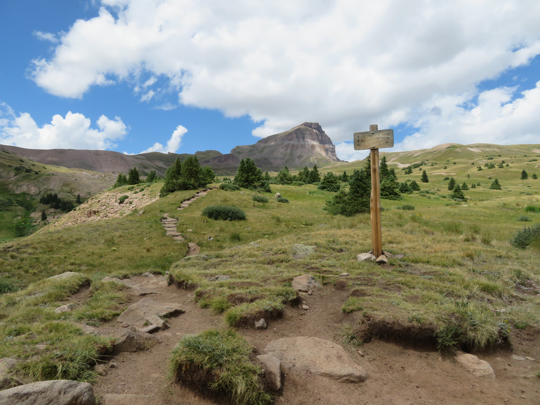
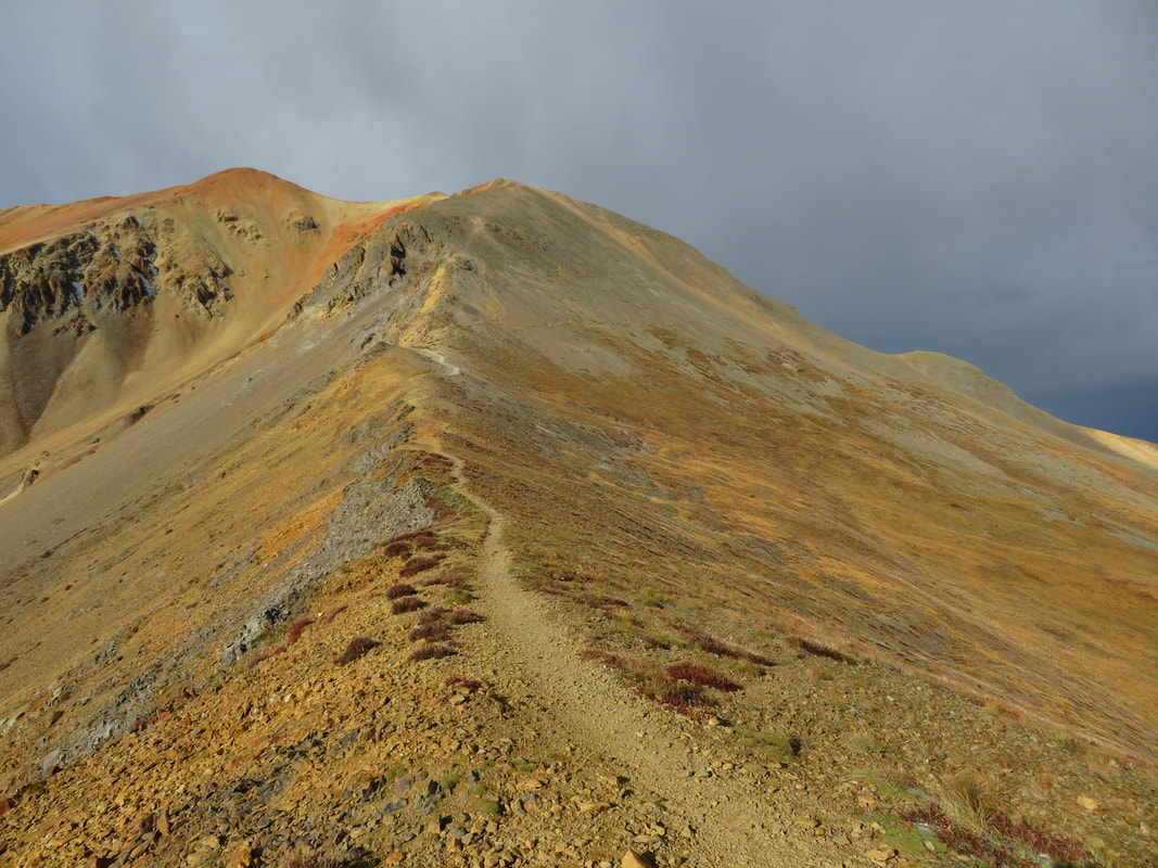
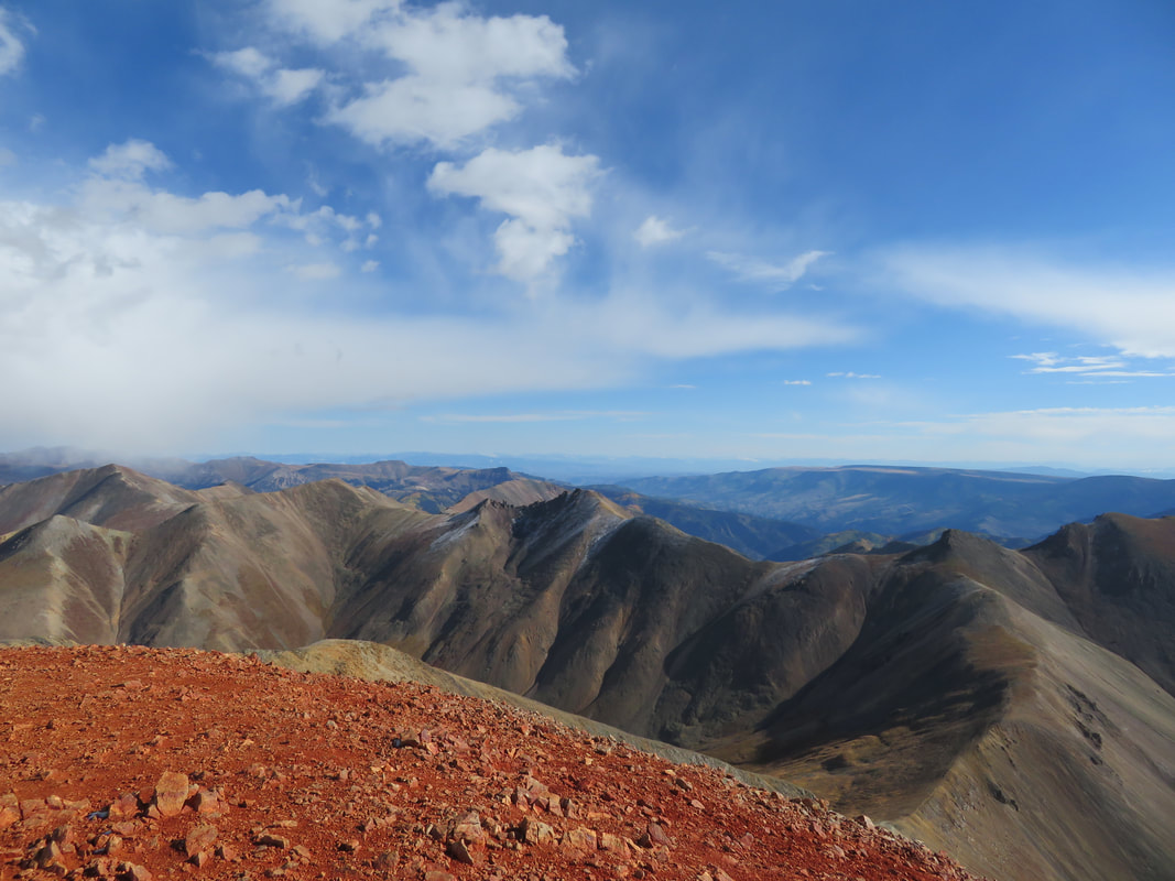
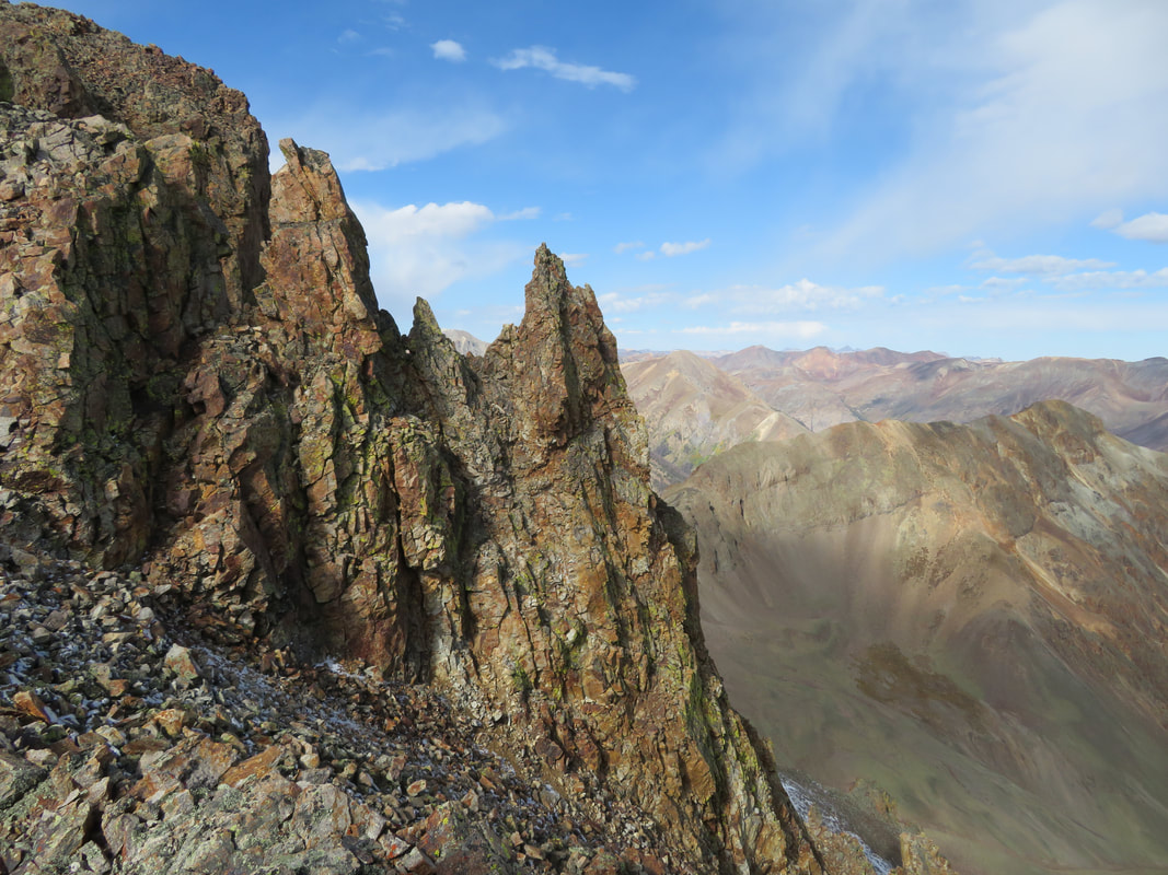
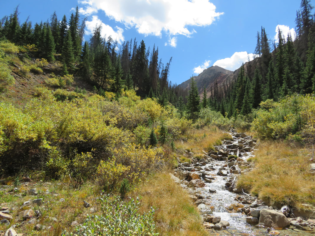
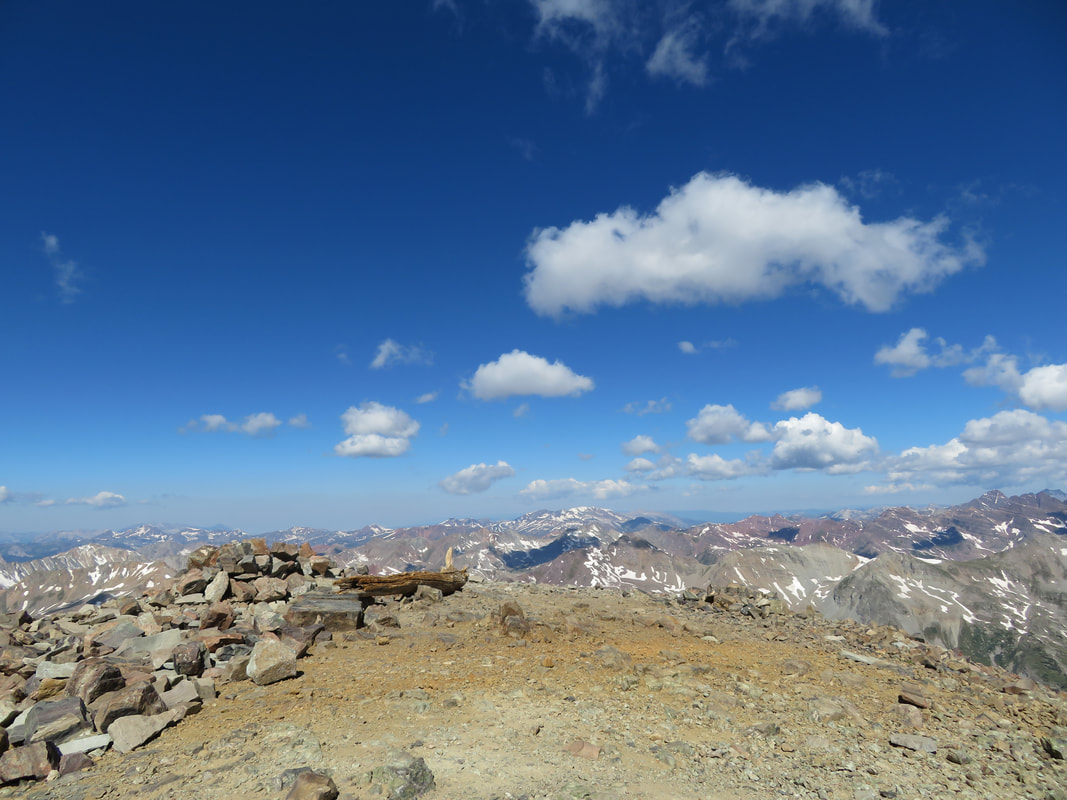
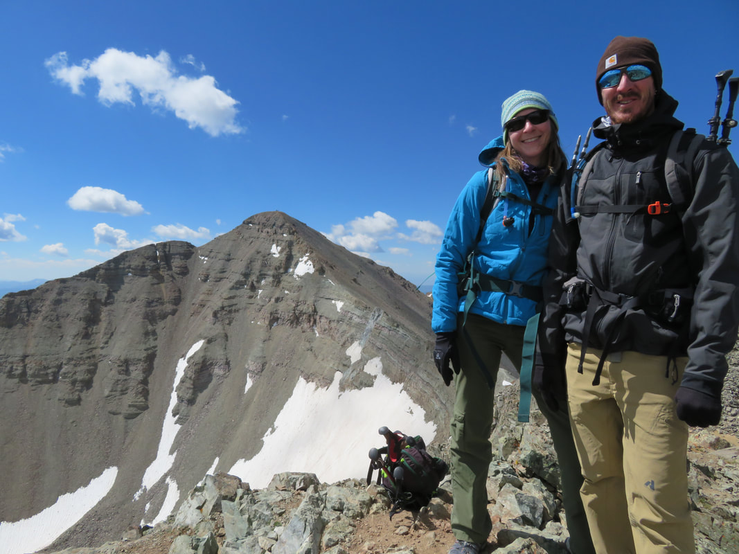
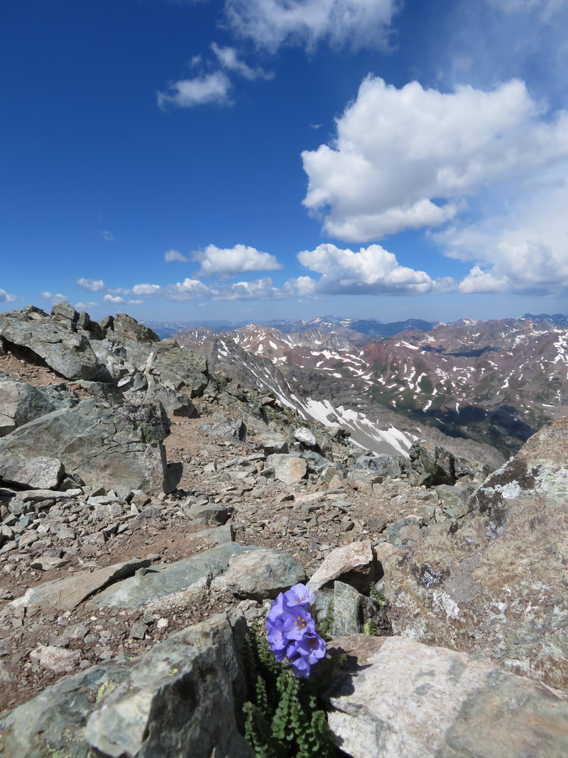
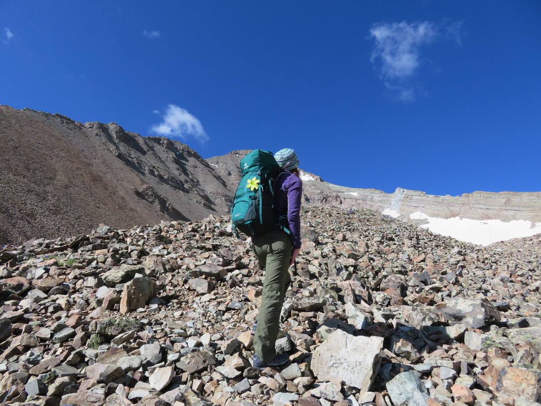
Uncompahgre Peak, summited July 22, 2018
(Pictures above)
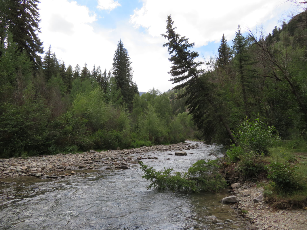
At last we’ve been presented with the opportunity to venture near Ouray and Lake City, an area that’s always been high on our exploration list. So early Saturday morning we hooked up the camper and drove the five or so hours south and west, pulling into lovely Lake City at around two or three in the afternoon. After “finding” County Road 20, we stumbled across an exquisite campsite just minutes from town, but completely secluded and with our own little private beach right next to Henson Creek. It was like something out of the picture books, almost too good to be true. But true it was, and we settled ourselves in for the evening, sitting by the river, occasionally crossing it to explore the opposite side. Later that evening we made a cozy little campfire the old school way, with a tinder bundle and flint and steel. The rain spittled on us just a bit, but nothing to dampen our spirits, and while Tyler cooked us up a delicious dinner of kabobs, corn on the cob, and jalapeno poppers, I tended the fire, sipped wine, and stared mesmerized into the river’s current.
We were granted the luxury of sleeping in the next morning until 4 am, since we were able to camp so close to the trailhead this time. After the usual routine, we got in the Tacoma (I’m not sure I mentioned this before, but we nicknamed him Mario) and drove the rest of the way up County Road 20 to Nellie Creek Road, which would lead us to the start of the trail leading us to Uncompahgre Peak. It was still dark as we were making our turn into Nellie Creek Road, and I was startled to see a small white car parked at the entrance with a young teenager frantically waving his arms at us. I told Tyler to stop, rolled my window down and asked what was wrong. “Nothing”, the young boy said, as his grandpa came to the truck. They asked us if we were headed to Uncompahgre today, and if we might be so kind as to give them a ride up the road. We didn’t mind, and after re-shufflling our gear to the bed of the truck, the four of us were on our way. Ethan was the teenager, 15 to be exact, climbing mountains with his grandpa, Ray, who used to live here, but now lived in Florida and visits Colorado every year to climb the fourteeners. He was 70 years old, and started climbing mountains at 61. We exchanged pleasantries as Tyler maneuvered the truck up the four-wheel-drive road, expertly scooting around boulders, ditches and across Nellie Creek two times.
After a short time we reached the trailhead. Ethan and Ray headed up a few minutes before us, and we soon followed, just as the sun began to bathe the nearby peaks in alpenglow. I wasn’t able to see Uncompahgre just yet, but was in for a very big treat.
The trek through the trees was short and sweet, and we soon wandered out of tree line and across this magnificent alpine meadow that stretched on for miles. Uncompahgre stood solitary and majestic in the distance, vibrant and aglow with the morning sun. What a mountain! It easily ranks as one of my all-time favorites!
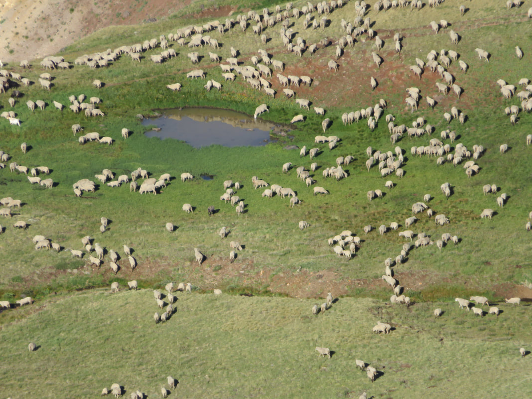
We trailed Ethan and Ray for a short while, then caught up to them. We took a few pictures together, then mosied on ahead, since they had decided to take a short break. Soon we crested about 12,500 feet and I took a short water break on a flat section near the huge cliff looming in front and to our left. I kept hearing these very odd sounds, almost like voices, and was searching around for the sourse. No one was close by. Then I happened to glance down into the valley below and was surprised to see hundreds, yes hundreds, of domestic sheep, bleating and grazing among the lush grass. One more thing I’ve never seen before in the big mountains of Colorado, albeit very cool.
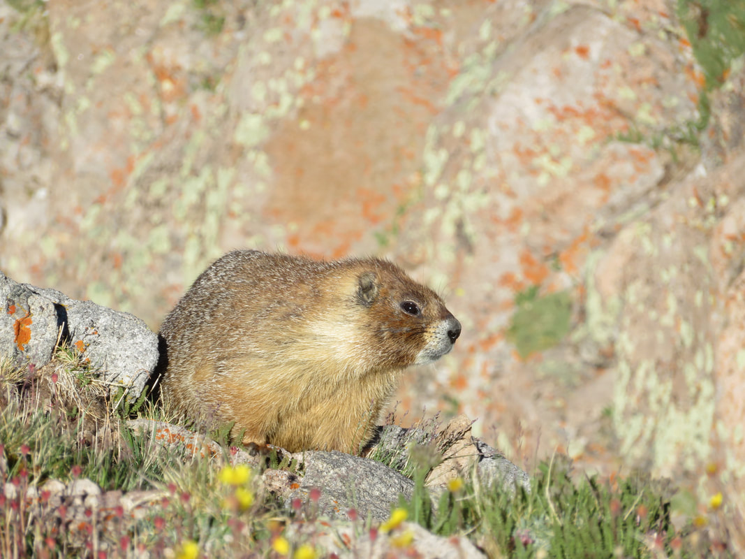
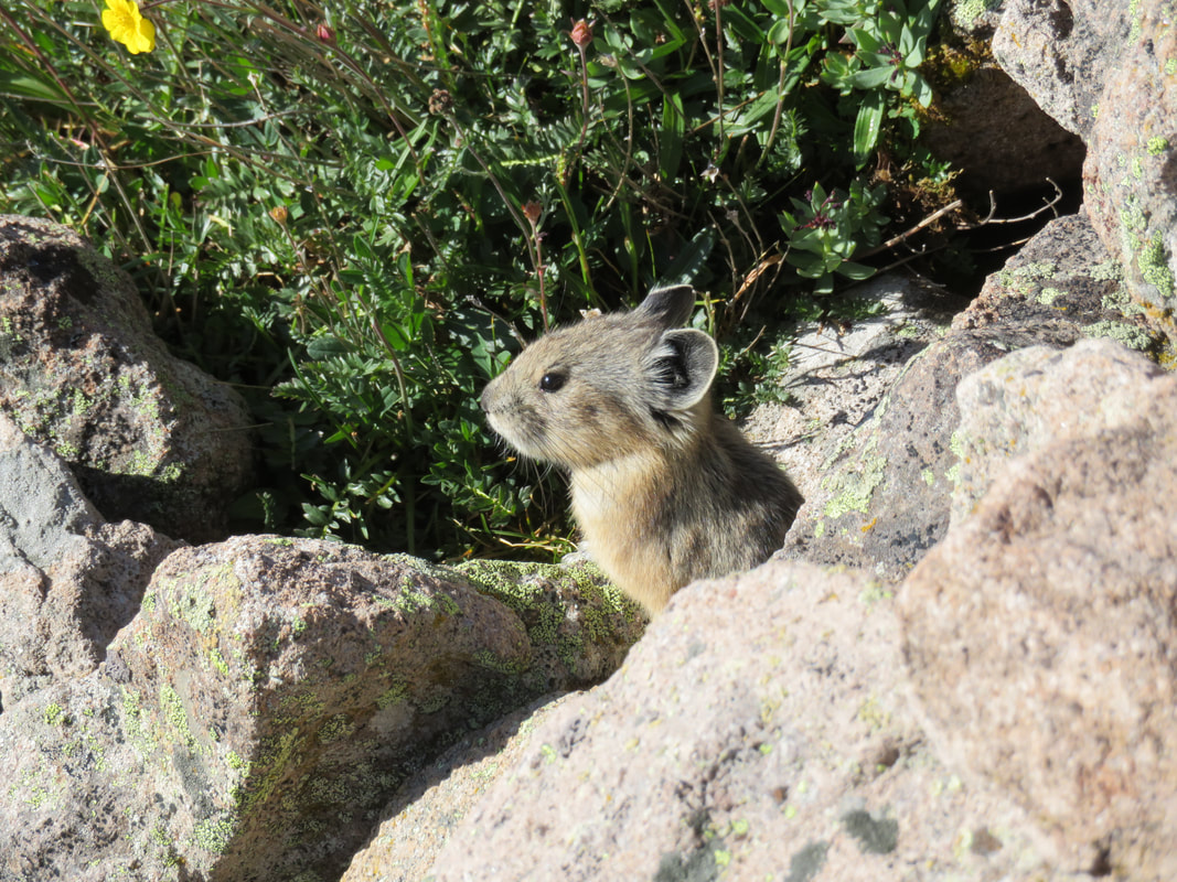
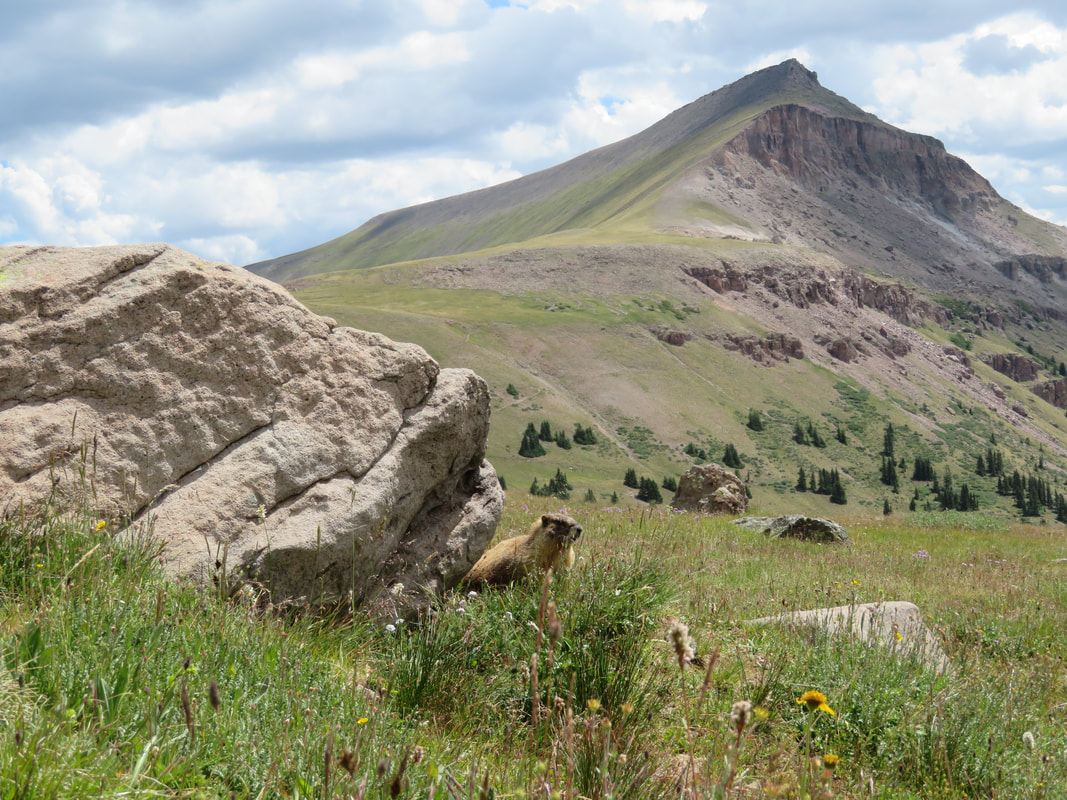
We quickly gained the scree field, and the switchbacks led us safely through. Marmot and pika were so abundant on this hike, their calls echoing off the mountain walls, and their curious nature bringing them right close and posing for adorable photographs. So many butterflies, bees, flies and spiders flitted among the profusion of wildflowers, and two pairs of ptarmigan foraged on the hillside.
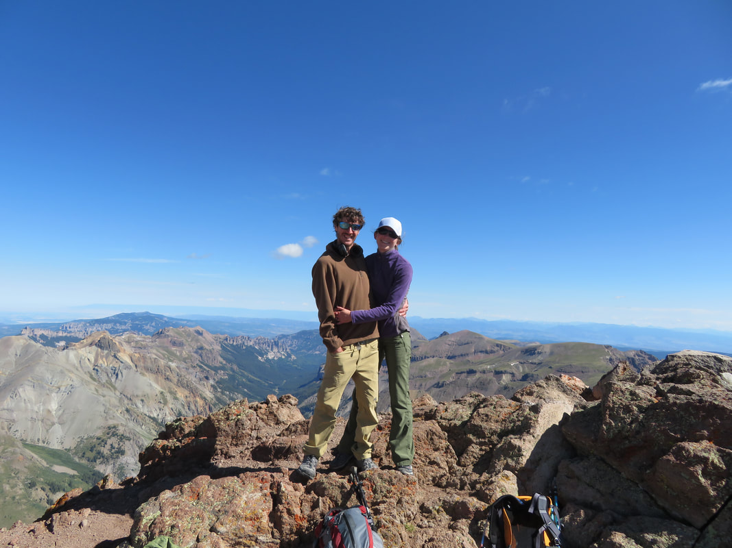
After a few more minutes we came to the short, but very steep west face of the peak, and climbed hand-over-foot up the short Class 3/Class 4 pitch. From there it was a quick and easy cruise to the summit, at 14,309 feet, our 28th, at 9:15 in the morning, exactly three hours after we started. Within 30 minutes, Ethan and Ray also arrived. Elated at another summit, Ray called out to the few other climbers on the summit “Seventy-year-old head of hair, right here!”
We took lots of pictures and watched Ethan do a backflip. Ahhh, to be young again. My chiropractor would be very busy should I attempt something like that. Tyler had also just ordered a Google 360 Camera, so he and I were playing with that, taking 360-degree photos of the peak and the sheer cliff. Once we got home a few days later we loved the new perspective these pictures gave us, and we saw the mountains once more in a whole new light.
As usual, the summit views were amazing. They really just never get old. I joke with people that, many years from now, when I’m long gone, someone close to me will have to make the trek up one of these peaks one last time to spread my ashes. It’s that beautiful up here!
We refueled on snacks and water, took pictures, and wandered about the big, flat peak. I crept close to the drop-off, even peaked over a little bit. I have no fear of heights, but that sheer drop will make even the bravest person’s stomach quiver just a wee bit. Once more, I felt so small among these giants. As I explored a little farther, I came across an odd-looking coating on some rocks. At first I thought someone had spilled something, then I came across some more, and more still. I looked closer and traced my fingers over smooth, globby, perfectly clear, glass-like formations. It struck me that maybe these were lightning strikes, and the result was the melted rock, or silica in the rock. Amazing!
After 40 minutes on the summit we slowly packed up and got ready to descend. With surprising speed, storm clouds gathered in the distance. Ray suggested that he take us out for lunch and beers once we got back to Lake City, in exchange for driving him and Ethan to the trailhead. I said it really wasn’t necessary; we were happy to help, but he insisted anyway. So Tyler and I gave them a head start and soon followed. We dropped behind them a bit on the way down; I was on a mission on this trip to gather bag-fulls of fireweed, to make fireweed blossom jelly once we made it back home (the jelly, by the way, was a huge success!).
By around 1 pm we reached the truck, and found Ethan and Ray faithfully waiting for us. About an hour’s drive down Nellie Creek Road brought us back to the rental, and they followed us to the camper, where we dropped off our gear, and then followed them into town. We had an excellent lunch at the Packer Saloon (I was thrilled to find Chicken and Mushroom Crepes!) and exchanged life stories over beers (water for Ethan). I am always amazed at the different types of people in the mountains, from such different aspects of life, yet all drawn together by one common love.
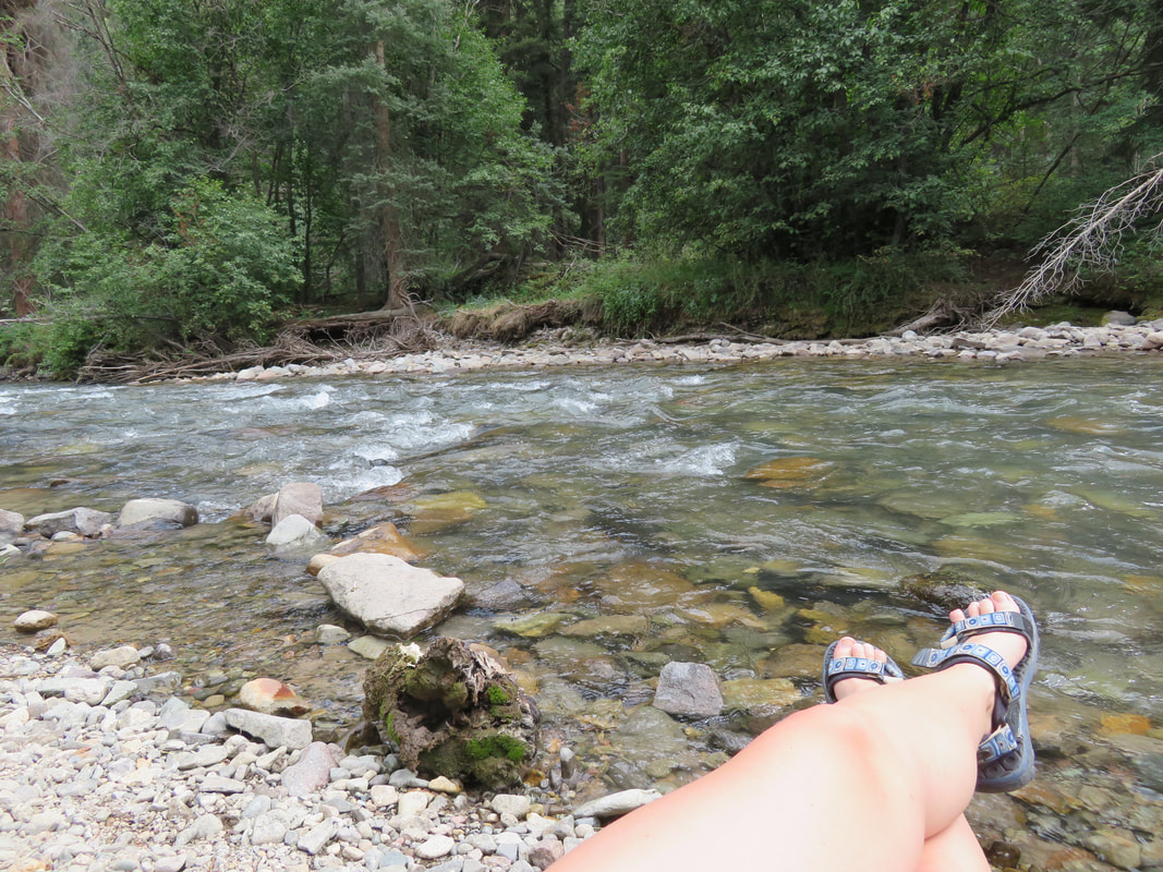
A long while later, we thanked Ray for the excellent lunch and said our goodbyes. Ethan and I exchanged Instagram and Facebook info, so we could keep in touch with each other’s adventures. Tyler and I grabbed another beer at the Lake City Brewing Company before heading back to our campsite, where we wandered through the woods, gathering handfuls of wild raspberries (Tyler might have eaten a worm, but hey, at least it was him and not me). I was tired from the climb, and sat by the river, while Tyler had a short snooze. I watched this funny little bird, which we later identified as the American Dipper, peruse the shoreline, dipping his head underwater, bopping and dancing in the shallows. These trips put my mind in such a good place. All worries seem to float away, just like a leaf on the current of a river.
The next morning, we packed up early and had a quick, light breakfast. Our intent was to grab lunch on the way home at the Shaggy Sheep, just north on Highway 285 of Kenosha Pass. On the way we were caught in a wicked deluge. Dark, dark clouds dropped buckets of water as we came down the pass. For a moment, the truck and trailer hydroplaned, and we were happy to reach the cafe and wait out the storm over lunch. Unfortunately, once we left, we were delayed outside of Bailey because of a big mudslide. One more hour later we reached home, and I decided to give driving the trailer a try, just through our neighborhood. This has petrified me for the longest time, but I’m determined to figure it out. And once I tried it, it wasn’t too bad. I even managed to back it into our driveway, give or take a dozen tries.
(Pictures above)
At last we’ve been presented with the opportunity to venture near Ouray and Lake City, an area that’s always been high on our exploration list. So early Saturday morning we hooked up the camper and drove the five or so hours south and west, pulling into lovely Lake City at around two or three in the afternoon. After “finding” County Road 20, we stumbled across an exquisite campsite just minutes from town, but completely secluded and with our own little private beach right next to Henson Creek. It was like something out of the picture books, almost too good to be true. But true it was, and we settled ourselves in for the evening, sitting by the river, occasionally crossing it to explore the opposite side. Later that evening we made a cozy little campfire the old school way, with a tinder bundle and flint and steel. The rain spittled on us just a bit, but nothing to dampen our spirits, and while Tyler cooked us up a delicious dinner of kabobs, corn on the cob, and jalapeno poppers, I tended the fire, sipped wine, and stared mesmerized into the river’s current.
We were granted the luxury of sleeping in the next morning until 4 am, since we were able to camp so close to the trailhead this time. After the usual routine, we got in the Tacoma (I’m not sure I mentioned this before, but we nicknamed him Mario) and drove the rest of the way up County Road 20 to Nellie Creek Road, which would lead us to the start of the trail leading us to Uncompahgre Peak. It was still dark as we were making our turn into Nellie Creek Road, and I was startled to see a small white car parked at the entrance with a young teenager frantically waving his arms at us. I told Tyler to stop, rolled my window down and asked what was wrong. “Nothing”, the young boy said, as his grandpa came to the truck. They asked us if we were headed to Uncompahgre today, and if we might be so kind as to give them a ride up the road. We didn’t mind, and after re-shufflling our gear to the bed of the truck, the four of us were on our way. Ethan was the teenager, 15 to be exact, climbing mountains with his grandpa, Ray, who used to live here, but now lived in Florida and visits Colorado every year to climb the fourteeners. He was 70 years old, and started climbing mountains at 61. We exchanged pleasantries as Tyler maneuvered the truck up the four-wheel-drive road, expertly scooting around boulders, ditches and across Nellie Creek two times.
After a short time we reached the trailhead. Ethan and Ray headed up a few minutes before us, and we soon followed, just as the sun began to bathe the nearby peaks in alpenglow. I wasn’t able to see Uncompahgre just yet, but was in for a very big treat.
The trek through the trees was short and sweet, and we soon wandered out of tree line and across this magnificent alpine meadow that stretched on for miles. Uncompahgre stood solitary and majestic in the distance, vibrant and aglow with the morning sun. What a mountain! It easily ranks as one of my all-time favorites!
We trailed Ethan and Ray for a short while, then caught up to them. We took a few pictures together, then mosied on ahead, since they had decided to take a short break. Soon we crested about 12,500 feet and I took a short water break on a flat section near the huge cliff looming in front and to our left. I kept hearing these very odd sounds, almost like voices, and was searching around for the sourse. No one was close by. Then I happened to glance down into the valley below and was surprised to see hundreds, yes hundreds, of domestic sheep, bleating and grazing among the lush grass. One more thing I’ve never seen before in the big mountains of Colorado, albeit very cool.
We quickly gained the scree field, and the switchbacks led us safely through. Marmot and pika were so abundant on this hike, their calls echoing off the mountain walls, and their curious nature bringing them right close and posing for adorable photographs. So many butterflies, bees, flies and spiders flitted among the profusion of wildflowers, and two pairs of ptarmigan foraged on the hillside.
After a few more minutes we came to the short, but very steep west face of the peak, and climbed hand-over-foot up the short Class 3/Class 4 pitch. From there it was a quick and easy cruise to the summit, at 14,309 feet, our 28th, at 9:15 in the morning, exactly three hours after we started. Within 30 minutes, Ethan and Ray also arrived. Elated at another summit, Ray called out to the few other climbers on the summit “Seventy-year-old head of hair, right here!”
We took lots of pictures and watched Ethan do a backflip. Ahhh, to be young again. My chiropractor would be very busy should I attempt something like that. Tyler had also just ordered a Google 360 Camera, so he and I were playing with that, taking 360-degree photos of the peak and the sheer cliff. Once we got home a few days later we loved the new perspective these pictures gave us, and we saw the mountains once more in a whole new light.
As usual, the summit views were amazing. They really just never get old. I joke with people that, many years from now, when I’m long gone, someone close to me will have to make the trek up one of these peaks one last time to spread my ashes. It’s that beautiful up here!
We refueled on snacks and water, took pictures, and wandered about the big, flat peak. I crept close to the drop-off, even peaked over a little bit. I have no fear of heights, but that sheer drop will make even the bravest person’s stomach quiver just a wee bit. Once more, I felt so small among these giants. As I explored a little farther, I came across an odd-looking coating on some rocks. At first I thought someone had spilled something, then I came across some more, and more still. I looked closer and traced my fingers over smooth, globby, perfectly clear, glass-like formations. It struck me that maybe these were lightning strikes, and the result was the melted rock, or silica in the rock. Amazing!
After 40 minutes on the summit we slowly packed up and got ready to descend. With surprising speed, storm clouds gathered in the distance. Ray suggested that he take us out for lunch and beers once we got back to Lake City, in exchange for driving him and Ethan to the trailhead. I said it really wasn’t necessary; we were happy to help, but he insisted anyway. So Tyler and I gave them a head start and soon followed. We dropped behind them a bit on the way down; I was on a mission on this trip to gather bag-fulls of fireweed, to make fireweed blossom jelly once we made it back home (the jelly, by the way, was a huge success!).
By around 1 pm we reached the truck, and found Ethan and Ray faithfully waiting for us. About an hour’s drive down Nellie Creek Road brought us back to the rental, and they followed us to the camper, where we dropped off our gear, and then followed them into town. We had an excellent lunch at the Packer Saloon (I was thrilled to find Chicken and Mushroom Crepes!) and exchanged life stories over beers (water for Ethan). I am always amazed at the different types of people in the mountains, from such different aspects of life, yet all drawn together by one common love.
A long while later, we thanked Ray for the excellent lunch and said our goodbyes. Ethan and I exchanged Instagram and Facebook info, so we could keep in touch with each other’s adventures. Tyler and I grabbed another beer at the Lake City Brewing Company before heading back to our campsite, where we wandered through the woods, gathering handfuls of wild raspberries (Tyler might have eaten a worm, but hey, at least it was him and not me). I was tired from the climb, and sat by the river, while Tyler had a short snooze. I watched this funny little bird, which we later identified as the American Dipper, peruse the shoreline, dipping his head underwater, bopping and dancing in the shallows. These trips put my mind in such a good place. All worries seem to float away, just like a leaf on the current of a river.
The next morning, we packed up early and had a quick, light breakfast. Our intent was to grab lunch on the way home at the Shaggy Sheep, just north on Highway 285 of Kenosha Pass. On the way we were caught in a wicked deluge. Dark, dark clouds dropped buckets of water as we came down the pass. For a moment, the truck and trailer hydroplaned, and we were happy to reach the cafe and wait out the storm over lunch. Unfortunately, once we left, we were delayed outside of Bailey because of a big mudslide. One more hour later we reached home, and I decided to give driving the trailer a try, just through our neighborhood. This has petrified me for the longest time, but I’m determined to figure it out. And once I tried it, it wasn’t too bad. I even managed to back it into our driveway, give or take a dozen tries.
2018: Venturing into the Elk Mountains
Castle & Conundrum Peaks, summited June 24, 2018
As Mount Shasta fades into a beautiful memory, we begin summer by heading back into the high mountains of Colorado. I’m eager to summit something, anything really, after not succeeding on Rainier or Shasta. So we set our sights on new territory: Aspen and the surrounding Elk Mountains.
Tyler and I packed the camper and left home mid-morning on Saturday, stopping in one of our favorite places in Colorado, Buena Vista, for lunch at the Eddyline Brewery. By early afternoon we reached Twin Lakes and its tiny town. Originally we had planned to traverse Independence Pass and camp closer to the trail, but intimidating signs reading “No Vehicles Over 35 Feet” and “$5,000 Fine” deterred us. Tyler was 90% sure that our truck and trailer were under 35 feet long, barely, and I mean like 34 feet and ½ inches. So we opted to not take the chance and set up base camp at Twin Lakes. We perused for a dispersed camping site, found the perfect one, and settled in for the evening, exploring the surrounding woods and coming across a spectacular overlook with views of Twin Lakes and the vast river valley below, all bathed in the warm evening glow of the setting sun.
The next morning I got us up at 3am for a quick breakfast, and we were on the road by 4:15, making the 2 ½ hour drive across Independence Pass to Aspen, Ashcroft, and down Castle Creek Road to our starting point at around 11,200 feet. Rain spittled occasionally on our drive, but cleared by the time we donned our packs. Immediately I fell into my familiar rhythm: steady breathing, steady footfalls, and steady heartbeat.
Soon we came across the ruins of the old Montezuma Mine at 12,400 feet, and end of the “road” at 12,800, from which we steadily ascended Castle Peak. We skirted the snowfields as much as possible, as warm temperatures made snow travel difficult already, but we were stoked to be able to glissade most of the way during our descent.
At 9:45 we crested Castle’s summit, looking out over the magnificent Elk Mountains from 14,265 feet high. We could see the Maroon Bells in the distance, as well as Pyramid and Capitol. I soaked in the views and the feeling of altitude, letting it fill me up, energize me. It felt so damn good to stand atop a summit again!
Tyler and I were excited to have the chance at two mountains in one trip, so we eagerly set off for Conundrum. The descent, traverse and ascent of Conundrum was simple and quick, and 45 minutes later we stood atop Conundrum at 14,060 feet. Our time was limited here, as storm clouds gathered ridiculously fast. We ate lunch quickly, spent as much time as we safely could on the peak, then started our descent. One option was to travel back over Castle Peak and return the way we had come, but with the weather brewing, we opted for a quick glissade off the ridge. To reach the snowfield, we had to descend down a horribly loose scree field, and I accidentally loosened a small rock that quickly tumbled and gathered momentum. I hollered out to the guys below “ROCK!” and they were able to dodge it, luckily. Soon they took off on their glissade, and we followed close behind. As we reached the bottom and shimmied past the small lake, colors glowing deep blue like the heart of a glacier, snow and graupel began to fall on us. Thunder rumbled above the ridge we had just descended from. I was happy to be down here.
We eagerly glissaded down three more lengthy snowfields, ready to self-arrest if we needed to, but also waiving our arms in the air like on a roller coaster, savoring the pure joy. I even caught a little air on a small bump on the last glissade; by the time I reached Tyler he was having a good laugh. Glissading saved us several thousand feet of descending, and soon reached the road, that would lead us back to the truck. By 1:30 we’d made it back, 7 hours, 10 miles and just over 3,000 feet elevation gain later. And by 4:15 we reached our home-away-from-home. Tyler and I relaxed in the sunshine, shared celebratory beers and sips of bourbon, joked and chatted about our trip. We were so happy to add Numbers 26 and 27 to the list!
Mount Shasta, California, 14,179 feet
Mount Shasta, California, May 26 & 27, 2018
I arrived in San Jose on Friday the 25, and drove north with my friend Srini to the little town of Shasta. (I knew Srini from our climb on Mount Rainier last September.) We arrived very late that night, thanks to Memorial Day traffic, so we had just enough time to eat and then went straight to sleep.
Saturday morning rolled around, and after packing and breakfast, we hit the trail at Bunny Flat Trailhead, winding casually through the towering trees, tendrils of fog snaking through the mossy branches like caressing fingers. It was a short 1.7 mile trek to Horse Camp, a stone cabin serving as a ranger station and rest area. A small natural spring also allowed you to fill your canteens with the coldest, most refreshing spring water you can imagine. It was a real treat.
I quickly realized that I majorly outpaced my friend Srini, so I marched ahead, up Avalanche Gulch, and waited periodically for him. After a while I reached a large, steep snow gully, and I slowly trudged upwards, the fog lifting, rays of sun darting down, and the whole lower valley lit up spectacularly. At the top of the snow gully, I found a rocky spot and traded in my trail shoes for my Scarpa mountaineering boots. Like I’d learned on Rainier from our lead guide Casey Grom, I duct taped my heels to prevent any blisters. Then I wrapped gaiters around my calves and sat and enjoyed the incredible views while I waited for Srini; forty-five minutes later he found me perched on the rocks.
After a snack and rehydrating, we set off again, this time up the long, steep gulch, an exhausting several-mile-long slog. I’d spent most of the winter, and many weeks prior to this trip, training as hard as I could, and I felt in prime condition. Soon I hit an unbreakable rhythm of steady breathing, coupled with an unfaltering heartbeat, and small, regular footsteps. I reveled in feeling this strength and tenacity, with the might of the mountain above me, the sun on my back, and the glory of the valley below. Unfortunately, I could not say the same for my friend, whom I’d left an hour behind me. So I set my pack in the snow and had a siesta while I waited.
Finally, Srini came up the gulch and sat beside me. He said he felt weak, that the altitude was getting to him. I made him give up some of the gear from his pack, and latched it onto mine, in the hopes of increasing his speed some, as it was late afternoon by now and we still needed to reach Helen Lake and set up camp. I hefted my 55 lb Deuter pack onto my back, buckled the hip belt, made Srini take a picture, and set off. I told Srini I would meet him at Helen Lake, and I quickly gained the gulch and left him behind. I stopped a few times to look for him, but was unable to differentiate him from the other climbers winding up the gulch like ants.
I came to a week-old debris field from an avalanche and carefully made my way across. As I looked up, I saw the last near-vertical push that would lead me to High Camp at Helen Lake, sitting at 10,400 feet. The day had by now turned into bluebird skies, and it was flat out hot on the snow. I stripped down to my last layer in order to stay cool, got my mind back in the zone, found my rhythm and pushed through the last stretch in about an hour’s time.
When I reached Helen Lake, the wind had picked up tremendously. I searched for a suitable spot amongst the other climbing teams, set my pack in the snow, and started to dig out a deep snow hollow to serve as a windbreak for my tent. After an hour or so I had dug a 5-foot deep, 10-foot long and 7-foot wide shelter. Still no sign of Srini. I set up my tent, which I had borrowed from my mom (a 15-year-old Sierra Designs tent that stood up amazingly to the wind and received several compliments). The sun began to slowly set and still Srini had not arrived. By now I was becoming frustrated, as I’d expected this climb to be a team effort, and so far I’d had to drag him up the mountain and set up our camp. To add to my irritation, I’d failed to take the JetBoil from him when we shuffled our gear, so now I was unable to melt snow for water or make my dinner until he arrived almost three hours later. Once he stumbled into camp, I told him it was imperative that he please start melting snow; to my dismay, he did not know how to use the stove. Exhaustion hit me hard at this point, so I told him to please just figure it out and I collapsed in the tent to rest.
A short while later, Srini had melted enough snow to fill all our canteens and make our dinners. I thanked him, but I could tell that his poor performance was hitting him hard mentally. I wasn’t completely without sympathy, yet at the same time, he had had just as much time as me to prepare and to train, and he told me he had failed to do so. This now put our climbing success in jeopardy. I looked over and noticed him shivering. He told me he felt hypothermic. And then I noticed he had not set up his sleeping mat or bag, and was sitting on the ice cold tent floor. Once more I got him situated, set up his sleeping gear for him, got him dry socks from his pack, and hoped he would warm up. After he crawled into his sleeping bag I watched the sun set and the full moon creep over the ridge. I was doubtful of our summit day tomorrow, not only because of Srini’s weakness, but also because of the hellacious winds that had begun to pick up.
After not sleeping until 1:30 in the morning because of the vicious winds, I made the call to not try and summit, and I think most of the folks at High Camp had the same idea, as no one stirred or made a sound. The winds posed a very high threat, and I wasn’t comfortable leaving behind Srini in his weakened state, or dragging him up to the Red Banks and Misery Hill. And overall I just had a bad feeling. So I went back to “sleep” and waited until morning.
At first light I started to break down camp. I was still exhausted, mentally and physically, and was ready to get off the mountain. From other groups I heard that a team of three guys had attempted to get up to the Red Banks overnight but had been blown down by the wind and fallen. Luckily they had all arrested their falls and no one was hurt, but it solidified for me that I had indeed made the right call last night. Although I was disappointed at not having summitted, I felt relieved that I hadn’t made the wrong decision.
I was hoping that Srini might take some more initiative after our talk last night, but that wasn’t the case as we started to pack up camp. He took forever to get ready, asked me what he should wear, crampons or no crampons, can I had him this and that out of his pack and so on. I complied, but was absolutely at my wit’s end. Rapidly I rolled up the tent, loaded my pack and strapped on my crampons, as the slope had become frozen solid overnight, and the winds were still howling. Srini decided not to wear his crampons, and I was done arguing and trying to convince him otherwise. I took off down towards Horse Camp and didn’t see him again for three or four hours.
On my way down, I glissaded where I could, took a few short breaks, but otherwise made good time. During one glissade I came across an ice axe on the trail, and hollered down to the guys below me. Sure enough, one guy, Ryan, had lost it. After reuniting him with his ice axe, I continued to descend with the two guys, chatting and talking about past climbs and future plans.
By 10 I’d made it to Horse Camp. I was starving by now and had a pounding headache, so I refilled my Nalgene at the spring, rehydrated and ate as much as I could, then settled in for a half-hour nap in the sunshine. After several hours, Srini arrived, took a short break and then we made the last trek back to the trailhead together. I stopped often to take in the view of the mighty Shasta, winds whipping off her summit ridge into the crystalline blue sky. What a gorgeous sight! The importance of the summit washed away, and what was left in me was a feeling of true accomplishment and strength. I learned so much from this trip, that I can overcome any obstacle, that I’m stronger than I give myself credit for, that I have a tenacity and grit that I cherish very deeply. The mountain and weather are queen and king here, and must always be approached with humility, respect and reverence. Over the years, the mountains have really been my greatest teachers, and have often taught me lessons that I didn’t expect, but that I needed to learn. Now they are not only my teachers, but also my friends.
Srini and I still keep in touch, and he asked me to return in August and try again for Shasta’s summit. I haven’t decided yet, but I may respectfully decline. I think I’m ready to run with a stronger group of climbers, and meet or exceed their strength.
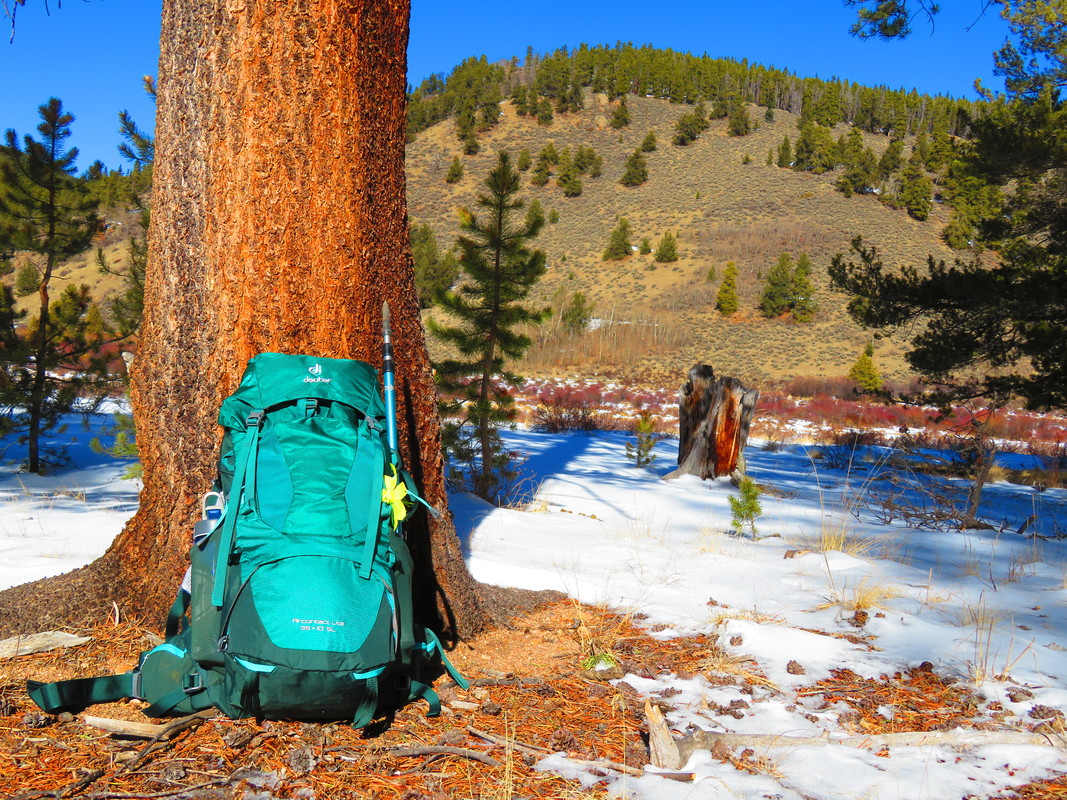
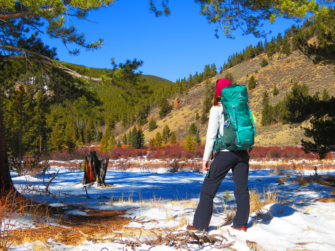
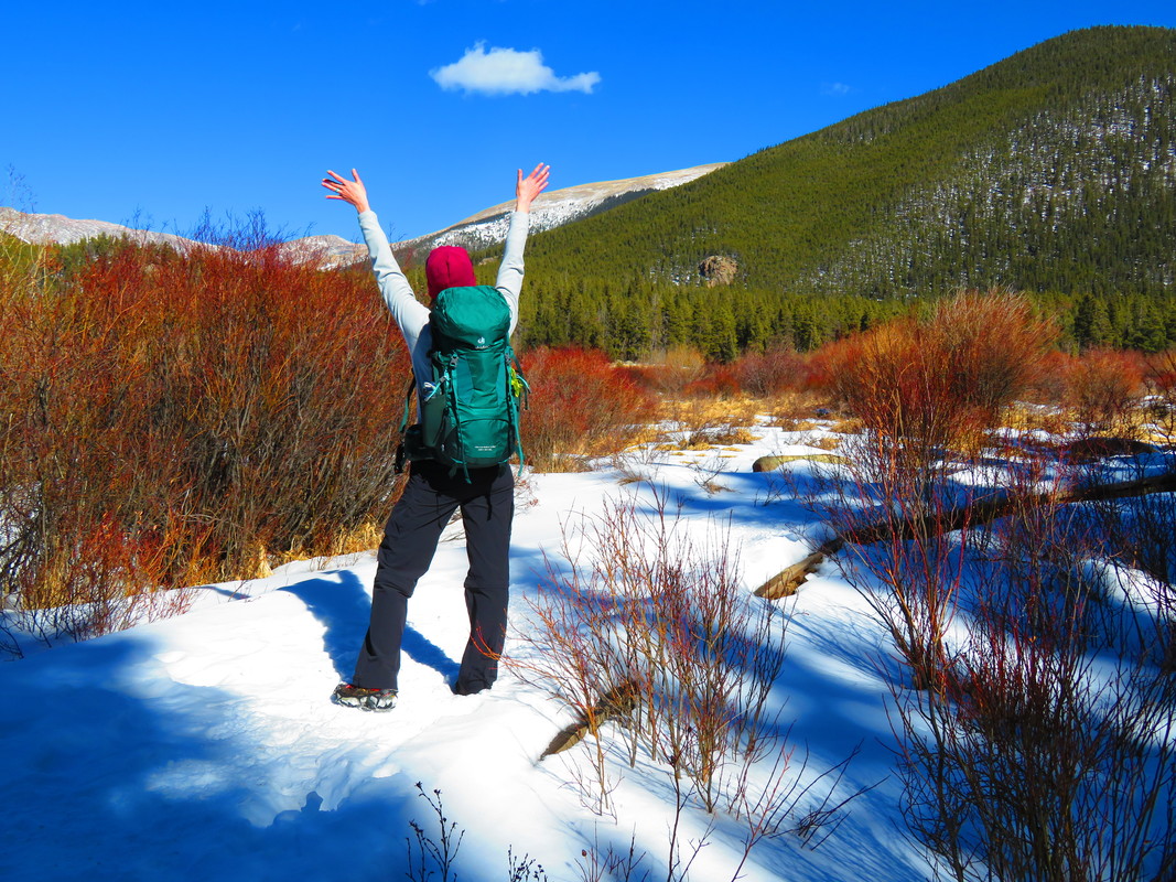
What's one of the top essentials for amazing adventures? A comfortable pack of course. I want to give a great big shout-out to Deuter Backpacks! I'm in love with their packs, one of which has gone to Mount Rainier with me (the Act Lite 60+10SL). I took this new pack out for a spin today near beautiful Guanella Pass, Colorado and I am just smitten. The Aircontact Lite 35+10 SL pack is functional, adjustable, stylish, incredibly comfortable and the perfect companion for a long day spent in the great outdoors. If any of you are looking for a new pack, give Deuter a try!
Mount Rainier, Washington, 2-day summit attempt September 29-30
Tuesday, September 26, 2017
Departure day. My friend Kris and I left Denver at 10:30 am, our plane headed west. As we taxied out to the runway, I glanced out my window and saw a tiny painted lady butterfly fluttering above the wing of the plane. It made me smile, and I felt positive vibes about the trip I was about to embark on. The flight was short and sweet, and we landed in Seattle at 12:30, quickly grabbed our bags and a rental car, and drove the hour and a half south to Ashford. The drive was spectacular, as we could see Mount Rainier towering above the landscape almost the entire way. The weather was crystal clear with bright blue skies, and would remain so for the next several days.
Late in the afternoon Kris and I arrived in Ashford and promptly checked into the Nisqually Lodge, our home for the next several days. After settling in, we explored Ashford, stopping in to the RMI Base Camp shop, a small pottery store, and a bead store owned by a quirky old woman who claimed to have bigfoot track casts. We humored her. Afterwards we drove the short distance to the nearby town of Elbe and had dinner at restaurant made of train cars. What a little gem, with good food too, and an excellent brown sugar bourbon that hit the spot after a long travel day.
Wednesday, September 27, 2017
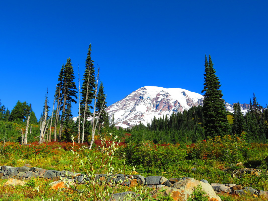
The next day, Kris and I hit the road in our big Ford Expedition and drove five miles further west to explore Rainier National Park, a place I’d always wanted to visit. We came in through the Nisqually Entrance in the southwest and drove all the way up to Paradis, stopping along the way to explore Christine Falls and Narada Falls. Every bend and turn in the road left me speechless: massive trees, both in girth and height, towered into the clear blue sky, draped with pale green lichens and mosses, shrubs and bushes demanded attention with their fiery yellow, orange and red leaves, waterfalls laced and cascaded down steep ravines, fed by Rainier’s glaciers high above. I felt like I was in a life-size fairy garden. When we reached Paradise, it proved to be every bit its namesake. Fall’s colors accented the lower mountain, among deep emerald evergreens, as the snowy mountain dominated the skyline, capped by deep blue and clear skies. I was in heaven.
By lunchtime we’d returned to the lodge and began to pack our gear for this afternoon’s first team meeting and orientation. The team members were a great, friendly bunch, from all types of different backgrounds, and I really like our lead guide, Casey Grom. After introductions we had our lengthy gear-check, then were briefed on the proceedings of tomorrow, mountain day school.
Thursday, September 28, 2017
Our team met at 8 am at the Rainier Base Camp, packed and ready for school. We all piled into the bus, drive by a sweet old woman named Lola, and drove into Rainier National Park, all the way to Paradise, just as Kris and I had done yesterday. By 9 am our feet hit the Skyline Trail, which we would take about a mile or two up to a snowfield on which we would learn what we needed to know for our summit attempt. As we hiked higher and higher, we could see Mount Saint Helens, Mount Adams and Mount Hood to the south, all dressed in their glacier coats. Although these peaks are around the same altitude as Colorado’s 14ners, these mountains were a whole new world to me. Spectacular just isn’t a grand enough word to describe the views, or the feelings for that matter. I was awestruck.
After about an hour we left the main trail and descended into a small, snowy bowl, which would be our training ground for the day. Our guides, Casey and Dustin (who just joined us this morning) would spend the day teaching us the basics of cramponing, using our ice axes, pressure breathing and rest-stepping and efficient rope travel. I absorbed everything like a sponge. Earlier this morning, I’d felt anxious and doubted myself somewhat, feeling like maybe I was out of my league. But by the afternoon, and after several long conversations with Casey, I felt calmer and more confident, ready and excited for the challenge I would face.
The last order of the day was practicing ladder walking, as we had four ladder crossings on the route to the summit. This we did back at Base Camp in Ashford, just before wrapping up for the day. After packing and double checking our packs at the hotel, Kris and I went to the Base Camp Bar and Grill for dinner, and soon shared a table, and several pitchers of beer, with fellow team members Johnny, Bill and Annie, Suba, Srini and Darren. Today couldn’t be a late night however; tomorrow was the big day!
Friday, September 29-30, 2017
It all boiled down to this day, where we climb halfway up the mountain to Camp Muir, nestled at 10,030 feet. Once more we were bussed by Lola to Paradise. However, today we were not greeted by the sun or stunning views of the mountain, as the weather had closed in and fog and a light drizzle were our companions for the day. Bill stayed positive though and said we’d end up above the clouds in the sunshine. I believed him. Because of the rain, Casey insisted we start hiking right off the bat in our mountaineering boots. Ouch! And just shortly after we started the rain became heavier and we had to put on all our rain gear too. Unfortunately this wasn’t the flawless conditions from the last two days, and the hike to Camp Muir would be a bit of a slog.
By late morning we reached the Muir Snowfield, which was completely obscured by the thick fog, so I had no idea how far it stretched into the abyss above. One step at a time, it was a long, cold, wet trek straight up, with the rain and wind pounding us from the west. On one of our breaks, I was forced to alert Casey to a couple of hot spots on my heels. I didn’t want to seem weak, but he made it clear to let him know right away, as they would only get worse as we hiked on. In the midst of the rain and wind I had to strip off my boots and socks, while he quickly applied two strips of duct tape, vertically, to my heels. It’s a great trick that I’ll never forget. As a matter of fact, as soon as I arrived back home, I wrapped a section of my trekking poles with a couple rounds of duct tape, just as I’d seen Casey do, so I’d have some with me for the next time. Sometimes it’s the little things.
After our break we pushed upwards for the last leg of our journey up the snowfield. I was so cold and wet by now I’d almost hit my limit. To add to my misery, my rain jacket’s left side pocket had been unzipped the whole time as I would switch my pole from one hand to the other to warm up my hands. A pond had gathered in my pocket, so my gloves were soaked. Sometimes it’s the little things.
At last Camp Muir materialized out of the fog. We’d made it. Quickly we all piled into the bunkhouse and chose our spots. And soon the mood improved, as we all put on our dry clothes, had hot tea and coffee and a hot just-add-water meal. Johnny had decided to not carry his dinner with him, because of the weight, but he instantly regretted not having some warm food. I shared my dinner with him.
Unfortunately, two members of the second team immediately dropped out of the next day’s summit attempt. Srini arrived hypothermic and shivering, drenched to the bone. Suba arrived ten minutes behind the group, and decided she wouldn’t be able to keep up the grueling pace tomorrow. It was humbling to see two strong members drop already. It weighed on me.
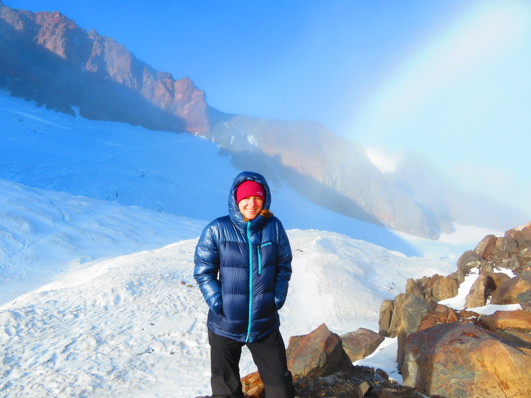
After dinner, around 6 pm, we all went to sleep. It was a fitful rest, with lots of tossing and turning, snoring and farting all around. I only dozed, listening to the wind howling outside, praying for a weather window to open up (the forecast was iffy for our summit day) and waiting for Casey’s wake-up call. It came at 1 am. The wind had died down, the stars were out. We had a window. I struggled through some oatmeal and coffee, my stomach abuzz not with butterflies, but more like pterodactyls. I focused my mind as sharply as I could as I dressed, making sure I had every piece of gear I needed. First came the base layer, then the avalanche transceiver strapped across my chest, switched on. Then my fleece sweater, then my insulated jacket, zipped up tight. Knee braces, long john’s, climbing pants, socks, climbing harness strapped on and adjusted, carabiner clipped on. I stuck toe warmers to the bottoms of my socks and strapped my boots on tight, then wrapped gaiters around my calves and ankles. Fleece hat, buff, helmet and headlamp. Glove liners and insulated gloves. Once outside, I strapped my crampons to my boots, making sure everything was snug and tight. Lastly, I shouldered my big green back (nicknamed Big Muzzy) and met Casey near the trail. Casey had chosen Kris and I to be on his rope team, me right behind Casey, and Kris bringing up the rear. By 2 am, we set off across the Cowlitz Glacier. I let the rope snake out in front of me, keeping a steady pace, one step at a time, crampons biting into the snow, seeing nothing but what little of the trail was illuminated by my headlamp. Soon we reached the Cathedral Gap, which was bare of snow, rocky and sandy, a challenge to walk on with crampons laced to your feet. But we kept the pace, not stopping until we’d reached an area called The Flats. Here the wind picked up tremendously, whipping any warmth right from our bodies. I slipped on my rain jacket, and my big down parka over top. I sat on my pack and shivered, unsure if I could continue. Casey pulled my jacket hoods over my head and stuffed hand warmers into my gloves, both of which helped. He said it was time to put on our goggles, as the debris being whipped off the glacier would irritate our eyes, and on top of that, the wind chill was so cold that our corneas could freeze. Enough said. Suddenly, Bill, who rested just in front of me turned and handed Kris his summit flag and simply said “Make it”. Bill was quitting, along with Tavi on the other team, and were being led back down by one of the guides. My head was filled with indecision, but eventually I stuck it out and continued on.
Just after our break we crossed our first crevasse, which was easy enough, as we could carefully step over it. The next one was somewhat wider, and we gingerly walked across the ladder that had been put in place. Despite the cold and dark, I was jazzed about having been able to experience by first crevasse crossing. However, at the next crevasse, things quickly went south and Casey, Kris and I had a very close call.
As we approached the second ladder, Casey suddenly stopped. We had a big problem. It’s difficult to imagine big glaciers as being alive, but they move and change constantly, which is exactly what had happened here. The crevasse had widened since the last team came through, and the end of the ladder on our side of the crevasse had detached. It was unsafe to cross. So the three of us stepped off the trail to the right and followed the crevasse down, searching for an alternate crossing. Casey had me stop at the top of a small ledge, while he inched closer to the crevasse to test a snow bridge. He straddled the crevasse, then jabbed the snow bridge; after two or three jabs, the bridge gave way, along with the ledge on which his opposite foot was anchored. It all happened so fast: I heard Kris yell out for Casey, and I watched Casey jump across the crevasse and hang on for dear life on the opposite side. I prayed the ice would hold him as I braced myself for the jerk of the rope and fall into the glacier. But more than anything the sound of the ice and snow falling down an 80 to 100 foot crack in the glacier would stay etched in my memory. It was haunting.
After a few moments, Casey jumped back onto our side of the crevasse, and radioed the other guides. I’ll always remember his exact words: “I just had a very close call, I’ll need a minute.” That was sobering, when your lead guide, with 18 years of climbing experience and two successful Everest summits says he needs a minute.
After Casey had collected himself, he radioed Andy to come down with his team and help assess the situation. He sent another guide, Chase, further up the mountain along the crevasse to search for a safe place to cross. Andy joined Casey, and together they drove an aluminum spike into the snow, to which they anchored themselves, leaving us near the trail to wait.
Twenty minutes later the guides made the call. It was too dangerous. We had to turn around. My heart sank, though with the ripping winds and the predicted 4 degree F temperature on the summit, it sure felt like Mount Rainier was just not in the mood for visitors anymore. Adding to that the fact that she had almost eaten our lead guide, today wouldn’t be our day. I was sad, but I respected that. The weather and mountain are king and queen, and humans are tiny, insignificant beings amongst these herculean forces. This year, we’d made it to 11,500 feet. There would have to be a next year, with better success hopefully, and standing atop the 14,410 foot summit.
Casey helped us with getting into the rest of our gear, as we were very cold by now. We roped back up, and made our descent back to Camp Muir, where Casey gave Kris and I a big hug; I was so glad he hadn’t gotten hurt. By 5 am we crawled back into our sleeping bags to warm up and rest for a few hours, until the guides woke us up with coffee and pancakes, in an attempt to ease the blow of not making the summit. I was warmed by their thoughtfulness.
By 9 am, we were once again dressed and ready to descend the Muir Snowfield. I snapped a few final pictures, then fell into line and started walking. It was here that the disappointment really hit me hard. I was heartbroken, and ruminated on my thoughts for a good long while. But after a while I realized how lucky I was to have gotten such a true mountaineering experience. Don’t get me wrong, a beautiful and successful summit day would have been amazing, but it’s often the failures that teach us the most. At the end, I decided that it was the experience, the knowledge gained, the new friends made and that everyone was safe that really counted. With that perspective in my mind, we descended into the fog, leaving Rainier’s summit and sunshine behind. She would keep her secrets until next year.
At the base of the snowfield, we took off our crampons during a short break, then hiked on down the mountain. Hoar frost covered every leaf and rock, and slowly began building up on my jacket, gloves and trekking poles. At last we reached Paradise, and Lola greeted us with cookies and chicken for the 45-minute ride back to RMI headquarters, where we had a small commencement ceremony where we received our certificates and exchanged information so we could all keep in touch.
We said our goodbyes to most everyone, but a few of us decided to stay behind and share pizza and beer, including Dustin, Srini, Suba, Mona, Kris, Gina and I. I picked Dustin’s brain about training suggestions and how to properly strengthen your hips and IT band, and he gave a lot of great advice. I know I want to return for another try next year, so once I’ve rested and given my body a chance to recover, training will start immediately. You cannot be too prepared for this mountain, as it’s one of the hardest things you’ll embark on in your life.
Suba and Srini suggested that Kris and I join them for dinner that night at the Wildeberry Restaurant, which we happily accepted. There we had excellent Himalayan food and met the restaurant’s owner, Lhakpa Gelu Sherpa, world record holder for fastest Everest ascent in 2003. “In the presence of greatness” would be an understatement.
Reflecting now, this trip turned out exactly as I’d envisioned, and right now, I couldn’t be happier. I knew full-well when I signed up for this that summiting was not a guarantee. It’s called a summit attempt for a good reason. Reaching Mount Rainier’s summit would have been remarkable, particularly at sunrise, but I think the journey means more to me than the destination. The knowledge I gained over the last few days is priceless to me and the new friends and new climbing connections I’ve made will be vital to my future adventures. My mind is already set to return next year, in July or August, and I’m hoping to have Casey as my guide once more. For now, I wanted an adventure, and an adventure is precisely what I ended up getting. My heart is content.
Tuesday, September 26, 2017
Departure day. My friend Kris and I left Denver at 10:30 am, our plane headed west. As we taxied out to the runway, I glanced out my window and saw a tiny painted lady butterfly fluttering above the wing of the plane. It made me smile, and I felt positive vibes about the trip I was about to embark on. The flight was short and sweet, and we landed in Seattle at 12:30, quickly grabbed our bags and a rental car, and drove the hour and a half south to Ashford. The drive was spectacular, as we could see Mount Rainier towering above the landscape almost the entire way. The weather was crystal clear with bright blue skies, and would remain so for the next several days.
Late in the afternoon Kris and I arrived in Ashford and promptly checked into the Nisqually Lodge, our home for the next several days. After settling in, we explored Ashford, stopping in to the RMI Base Camp shop, a small pottery store, and a bead store owned by a quirky old woman who claimed to have bigfoot track casts. We humored her. Afterwards we drove the short distance to the nearby town of Elbe and had dinner at restaurant made of train cars. What a little gem, with good food too, and an excellent brown sugar bourbon that hit the spot after a long travel day.
Wednesday, September 27, 2017
The next day, Kris and I hit the road in our big Ford Expedition and drove five miles further west to explore Rainier National Park, a place I’d always wanted to visit. We came in through the Nisqually Entrance in the southwest and drove all the way up to Paradis, stopping along the way to explore Christine Falls and Narada Falls. Every bend and turn in the road left me speechless: massive trees, both in girth and height, towered into the clear blue sky, draped with pale green lichens and mosses, shrubs and bushes demanded attention with their fiery yellow, orange and red leaves, waterfalls laced and cascaded down steep ravines, fed by Rainier’s glaciers high above. I felt like I was in a life-size fairy garden. When we reached Paradise, it proved to be every bit its namesake. Fall’s colors accented the lower mountain, among deep emerald evergreens, as the snowy mountain dominated the skyline, capped by deep blue and clear skies. I was in heaven.
By lunchtime we’d returned to the lodge and began to pack our gear for this afternoon’s first team meeting and orientation. The team members were a great, friendly bunch, from all types of different backgrounds, and I really like our lead guide, Casey Grom. After introductions we had our lengthy gear-check, then were briefed on the proceedings of tomorrow, mountain day school.
Thursday, September 28, 2017
Our team met at 8 am at the Rainier Base Camp, packed and ready for school. We all piled into the bus, drive by a sweet old woman named Lola, and drove into Rainier National Park, all the way to Paradise, just as Kris and I had done yesterday. By 9 am our feet hit the Skyline Trail, which we would take about a mile or two up to a snowfield on which we would learn what we needed to know for our summit attempt. As we hiked higher and higher, we could see Mount Saint Helens, Mount Adams and Mount Hood to the south, all dressed in their glacier coats. Although these peaks are around the same altitude as Colorado’s 14ners, these mountains were a whole new world to me. Spectacular just isn’t a grand enough word to describe the views, or the feelings for that matter. I was awestruck.
After about an hour we left the main trail and descended into a small, snowy bowl, which would be our training ground for the day. Our guides, Casey and Dustin (who just joined us this morning) would spend the day teaching us the basics of cramponing, using our ice axes, pressure breathing and rest-stepping and efficient rope travel. I absorbed everything like a sponge. Earlier this morning, I’d felt anxious and doubted myself somewhat, feeling like maybe I was out of my league. But by the afternoon, and after several long conversations with Casey, I felt calmer and more confident, ready and excited for the challenge I would face.
The last order of the day was practicing ladder walking, as we had four ladder crossings on the route to the summit. This we did back at Base Camp in Ashford, just before wrapping up for the day. After packing and double checking our packs at the hotel, Kris and I went to the Base Camp Bar and Grill for dinner, and soon shared a table, and several pitchers of beer, with fellow team members Johnny, Bill and Annie, Suba, Srini and Darren. Today couldn’t be a late night however; tomorrow was the big day!
Friday, September 29-30, 2017
It all boiled down to this day, where we climb halfway up the mountain to Camp Muir, nestled at 10,030 feet. Once more we were bussed by Lola to Paradise. However, today we were not greeted by the sun or stunning views of the mountain, as the weather had closed in and fog and a light drizzle were our companions for the day. Bill stayed positive though and said we’d end up above the clouds in the sunshine. I believed him. Because of the rain, Casey insisted we start hiking right off the bat in our mountaineering boots. Ouch! And just shortly after we started the rain became heavier and we had to put on all our rain gear too. Unfortunately this wasn’t the flawless conditions from the last two days, and the hike to Camp Muir would be a bit of a slog.
By late morning we reached the Muir Snowfield, which was completely obscured by the thick fog, so I had no idea how far it stretched into the abyss above. One step at a time, it was a long, cold, wet trek straight up, with the rain and wind pounding us from the west. On one of our breaks, I was forced to alert Casey to a couple of hot spots on my heels. I didn’t want to seem weak, but he made it clear to let him know right away, as they would only get worse as we hiked on. In the midst of the rain and wind I had to strip off my boots and socks, while he quickly applied two strips of duct tape, vertically, to my heels. It’s a great trick that I’ll never forget. As a matter of fact, as soon as I arrived back home, I wrapped a section of my trekking poles with a couple rounds of duct tape, just as I’d seen Casey do, so I’d have some with me for the next time. Sometimes it’s the little things.
After our break we pushed upwards for the last leg of our journey up the snowfield. I was so cold and wet by now I’d almost hit my limit. To add to my misery, my rain jacket’s left side pocket had been unzipped the whole time as I would switch my pole from one hand to the other to warm up my hands. A pond had gathered in my pocket, so my gloves were soaked. Sometimes it’s the little things.
At last Camp Muir materialized out of the fog. We’d made it. Quickly we all piled into the bunkhouse and chose our spots. And soon the mood improved, as we all put on our dry clothes, had hot tea and coffee and a hot just-add-water meal. Johnny had decided to not carry his dinner with him, because of the weight, but he instantly regretted not having some warm food. I shared my dinner with him.
Unfortunately, two members of the second team immediately dropped out of the next day’s summit attempt. Srini arrived hypothermic and shivering, drenched to the bone. Suba arrived ten minutes behind the group, and decided she wouldn’t be able to keep up the grueling pace tomorrow. It was humbling to see two strong members drop already. It weighed on me.
After dinner, around 6 pm, we all went to sleep. It was a fitful rest, with lots of tossing and turning, snoring and farting all around. I only dozed, listening to the wind howling outside, praying for a weather window to open up (the forecast was iffy for our summit day) and waiting for Casey’s wake-up call. It came at 1 am. The wind had died down, the stars were out. We had a window. I struggled through some oatmeal and coffee, my stomach abuzz not with butterflies, but more like pterodactyls. I focused my mind as sharply as I could as I dressed, making sure I had every piece of gear I needed. First came the base layer, then the avalanche transceiver strapped across my chest, switched on. Then my fleece sweater, then my insulated jacket, zipped up tight. Knee braces, long john’s, climbing pants, socks, climbing harness strapped on and adjusted, carabiner clipped on. I stuck toe warmers to the bottoms of my socks and strapped my boots on tight, then wrapped gaiters around my calves and ankles. Fleece hat, buff, helmet and headlamp. Glove liners and insulated gloves. Once outside, I strapped my crampons to my boots, making sure everything was snug and tight. Lastly, I shouldered my big green back (nicknamed Big Muzzy) and met Casey near the trail. Casey had chosen Kris and I to be on his rope team, me right behind Casey, and Kris bringing up the rear. By 2 am, we set off across the Cowlitz Glacier. I let the rope snake out in front of me, keeping a steady pace, one step at a time, crampons biting into the snow, seeing nothing but what little of the trail was illuminated by my headlamp. Soon we reached the Cathedral Gap, which was bare of snow, rocky and sandy, a challenge to walk on with crampons laced to your feet. But we kept the pace, not stopping until we’d reached an area called The Flats. Here the wind picked up tremendously, whipping any warmth right from our bodies. I slipped on my rain jacket, and my big down parka over top. I sat on my pack and shivered, unsure if I could continue. Casey pulled my jacket hoods over my head and stuffed hand warmers into my gloves, both of which helped. He said it was time to put on our goggles, as the debris being whipped off the glacier would irritate our eyes, and on top of that, the wind chill was so cold that our corneas could freeze. Enough said. Suddenly, Bill, who rested just in front of me turned and handed Kris his summit flag and simply said “Make it”. Bill was quitting, along with Tavi on the other team, and were being led back down by one of the guides. My head was filled with indecision, but eventually I stuck it out and continued on.
Just after our break we crossed our first crevasse, which was easy enough, as we could carefully step over it. The next one was somewhat wider, and we gingerly walked across the ladder that had been put in place. Despite the cold and dark, I was jazzed about having been able to experience by first crevasse crossing. However, at the next crevasse, things quickly went south and Casey, Kris and I had a very close call.
As we approached the second ladder, Casey suddenly stopped. We had a big problem. It’s difficult to imagine big glaciers as being alive, but they move and change constantly, which is exactly what had happened here. The crevasse had widened since the last team came through, and the end of the ladder on our side of the crevasse had detached. It was unsafe to cross. So the three of us stepped off the trail to the right and followed the crevasse down, searching for an alternate crossing. Casey had me stop at the top of a small ledge, while he inched closer to the crevasse to test a snow bridge. He straddled the crevasse, then jabbed the snow bridge; after two or three jabs, the bridge gave way, along with the ledge on which his opposite foot was anchored. It all happened so fast: I heard Kris yell out for Casey, and I watched Casey jump across the crevasse and hang on for dear life on the opposite side. I prayed the ice would hold him as I braced myself for the jerk of the rope and fall into the glacier. But more than anything the sound of the ice and snow falling down an 80 to 100 foot crack in the glacier would stay etched in my memory. It was haunting.
After a few moments, Casey jumped back onto our side of the crevasse, and radioed the other guides. I’ll always remember his exact words: “I just had a very close call, I’ll need a minute.” That was sobering, when your lead guide, with 18 years of climbing experience and two successful Everest summits says he needs a minute.
After Casey had collected himself, he radioed Andy to come down with his team and help assess the situation. He sent another guide, Chase, further up the mountain along the crevasse to search for a safe place to cross. Andy joined Casey, and together they drove an aluminum spike into the snow, to which they anchored themselves, leaving us near the trail to wait.
Twenty minutes later the guides made the call. It was too dangerous. We had to turn around. My heart sank, though with the ripping winds and the predicted 4 degree F temperature on the summit, it sure felt like Mount Rainier was just not in the mood for visitors anymore. Adding to that the fact that she had almost eaten our lead guide, today wouldn’t be our day. I was sad, but I respected that. The weather and mountain are king and queen, and humans are tiny, insignificant beings amongst these herculean forces. This year, we’d made it to 11,500 feet. There would have to be a next year, with better success hopefully, and standing atop the 14,410 foot summit.
Casey helped us with getting into the rest of our gear, as we were very cold by now. We roped back up, and made our descent back to Camp Muir, where Casey gave Kris and I a big hug; I was so glad he hadn’t gotten hurt. By 5 am we crawled back into our sleeping bags to warm up and rest for a few hours, until the guides woke us up with coffee and pancakes, in an attempt to ease the blow of not making the summit. I was warmed by their thoughtfulness.
By 9 am, we were once again dressed and ready to descend the Muir Snowfield. I snapped a few final pictures, then fell into line and started walking. It was here that the disappointment really hit me hard. I was heartbroken, and ruminated on my thoughts for a good long while. But after a while I realized how lucky I was to have gotten such a true mountaineering experience. Don’t get me wrong, a beautiful and successful summit day would have been amazing, but it’s often the failures that teach us the most. At the end, I decided that it was the experience, the knowledge gained, the new friends made and that everyone was safe that really counted. With that perspective in my mind, we descended into the fog, leaving Rainier’s summit and sunshine behind. She would keep her secrets until next year.
At the base of the snowfield, we took off our crampons during a short break, then hiked on down the mountain. Hoar frost covered every leaf and rock, and slowly began building up on my jacket, gloves and trekking poles. At last we reached Paradise, and Lola greeted us with cookies and chicken for the 45-minute ride back to RMI headquarters, where we had a small commencement ceremony where we received our certificates and exchanged information so we could all keep in touch.
We said our goodbyes to most everyone, but a few of us decided to stay behind and share pizza and beer, including Dustin, Srini, Suba, Mona, Kris, Gina and I. I picked Dustin’s brain about training suggestions and how to properly strengthen your hips and IT band, and he gave a lot of great advice. I know I want to return for another try next year, so once I’ve rested and given my body a chance to recover, training will start immediately. You cannot be too prepared for this mountain, as it’s one of the hardest things you’ll embark on in your life.
Suba and Srini suggested that Kris and I join them for dinner that night at the Wildeberry Restaurant, which we happily accepted. There we had excellent Himalayan food and met the restaurant’s owner, Lhakpa Gelu Sherpa, world record holder for fastest Everest ascent in 2003. “In the presence of greatness” would be an understatement.
Reflecting now, this trip turned out exactly as I’d envisioned, and right now, I couldn’t be happier. I knew full-well when I signed up for this that summiting was not a guarantee. It’s called a summit attempt for a good reason. Reaching Mount Rainier’s summit would have been remarkable, particularly at sunrise, but I think the journey means more to me than the destination. The knowledge I gained over the last few days is priceless to me and the new friends and new climbing connections I’ve made will be vital to my future adventures. My mind is already set to return next year, in July or August, and I’m hoping to have Casey as my guide once more. For now, I wanted an adventure, and an adventure is precisely what I ended up getting. My heart is content.

Tabeguache Peak, August 27, 2017
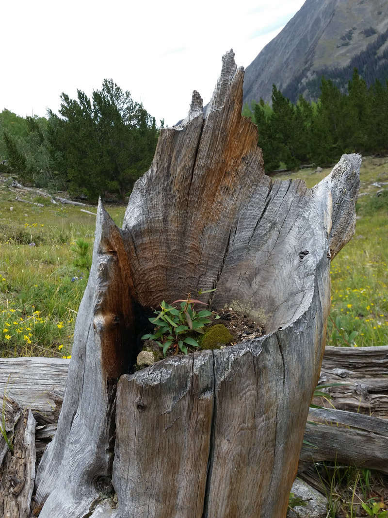
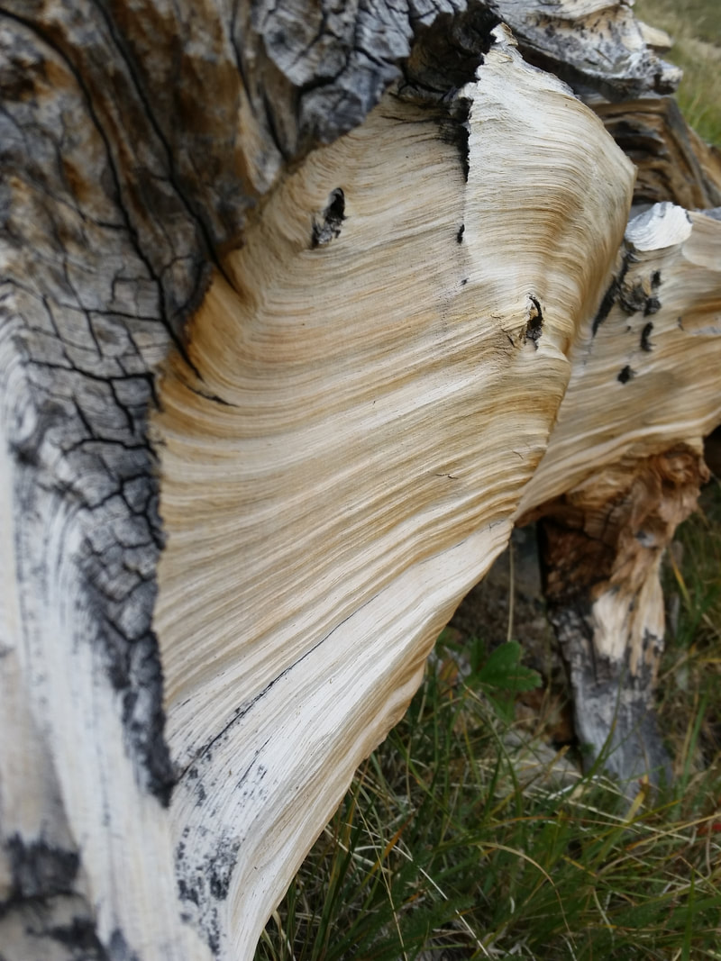
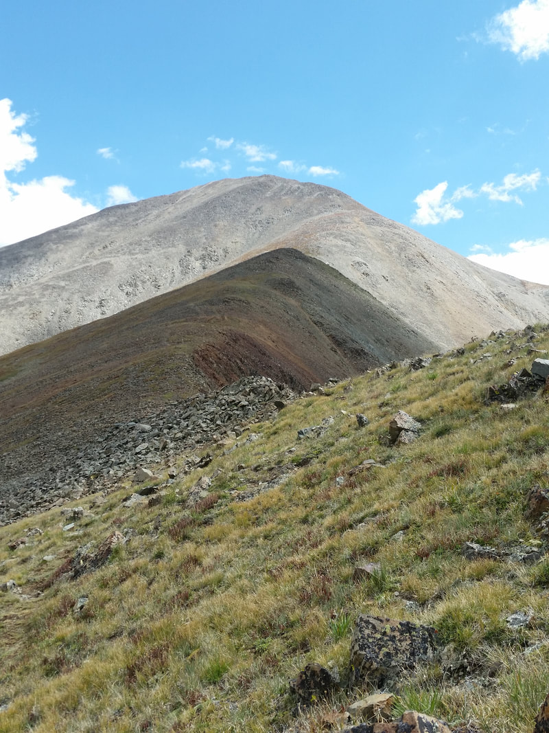
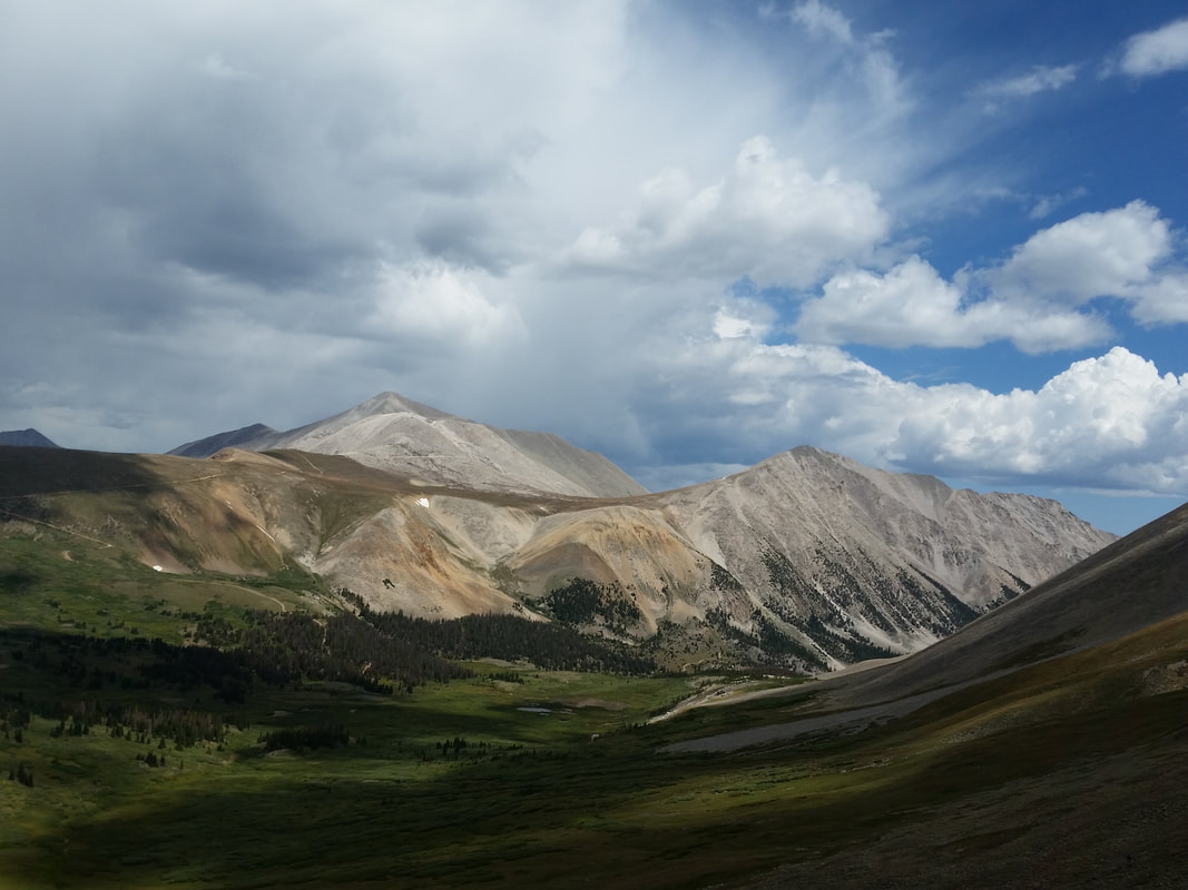
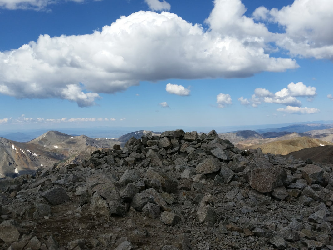
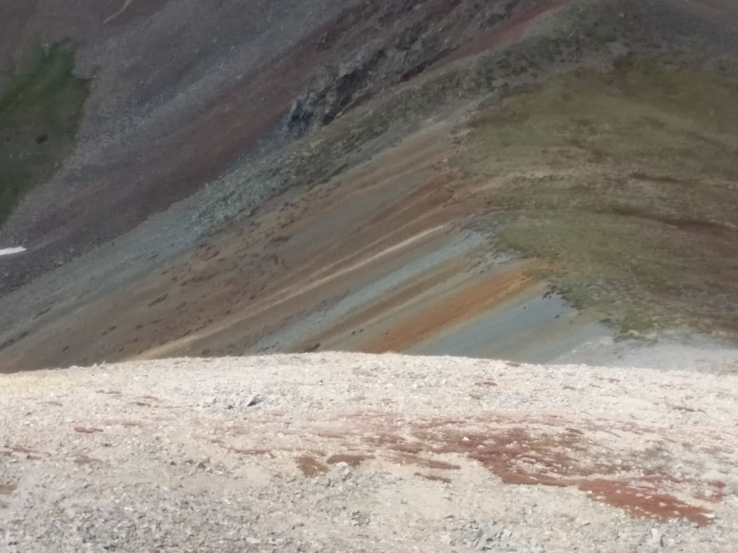
Mount Holy Cross, July 30, 2017
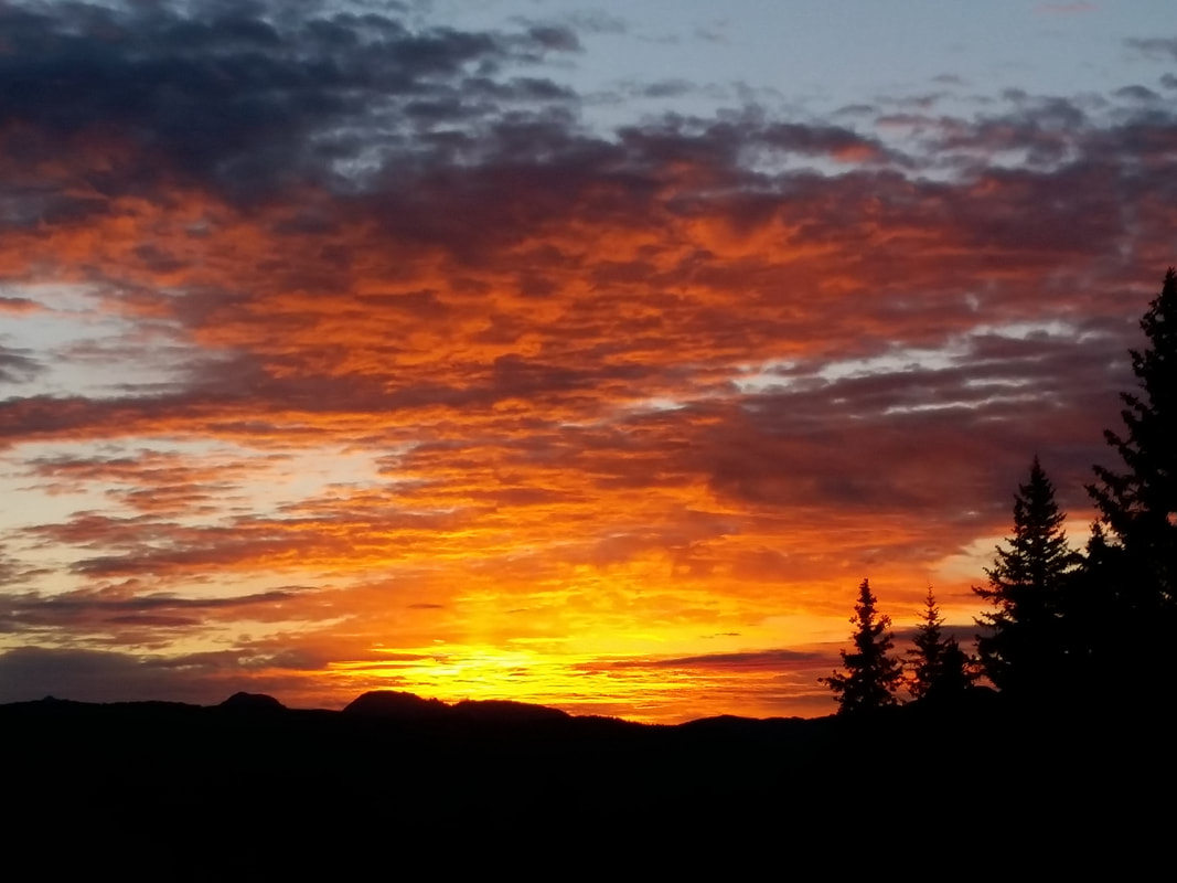
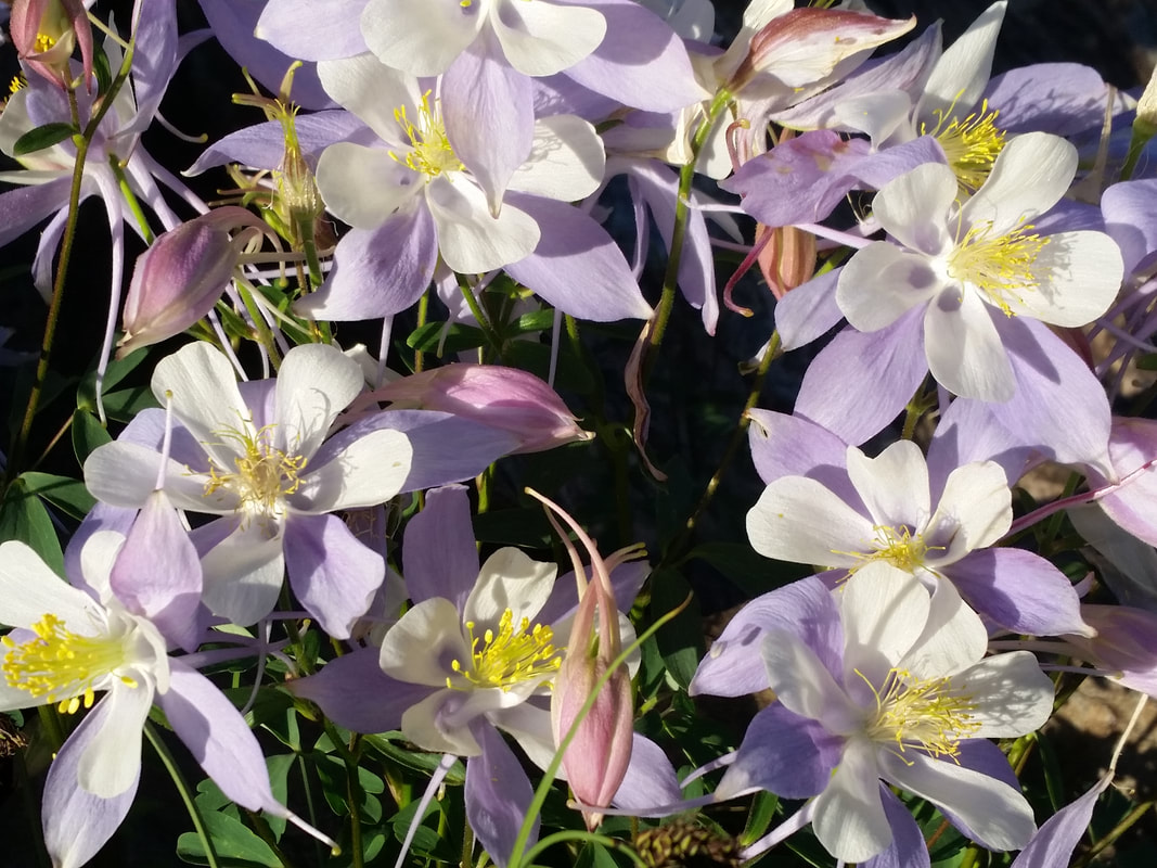
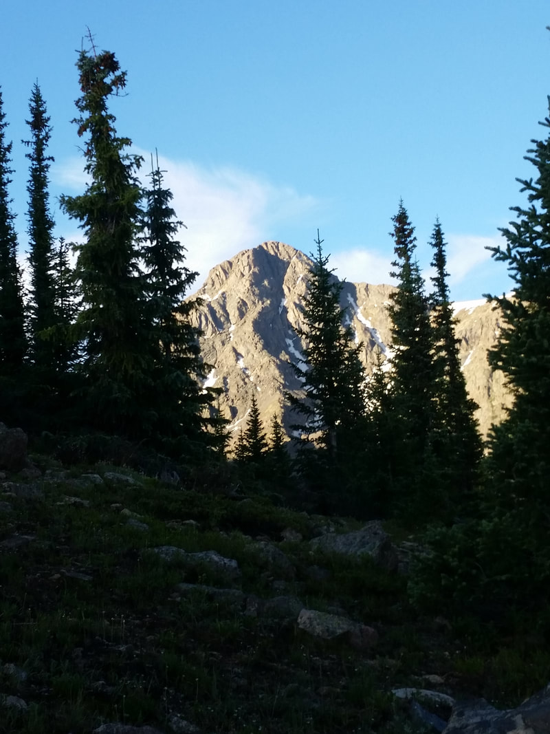
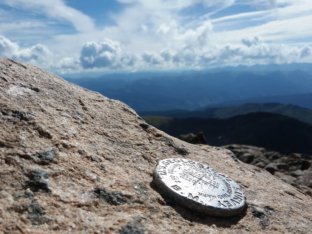
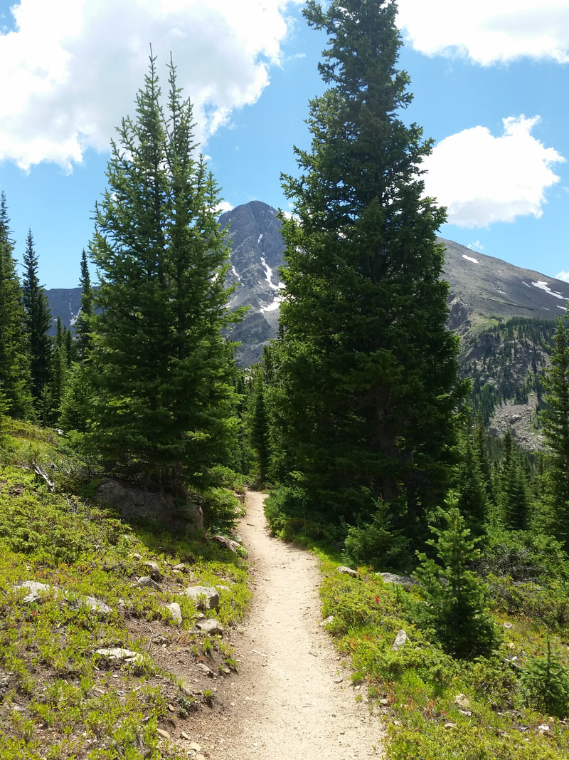
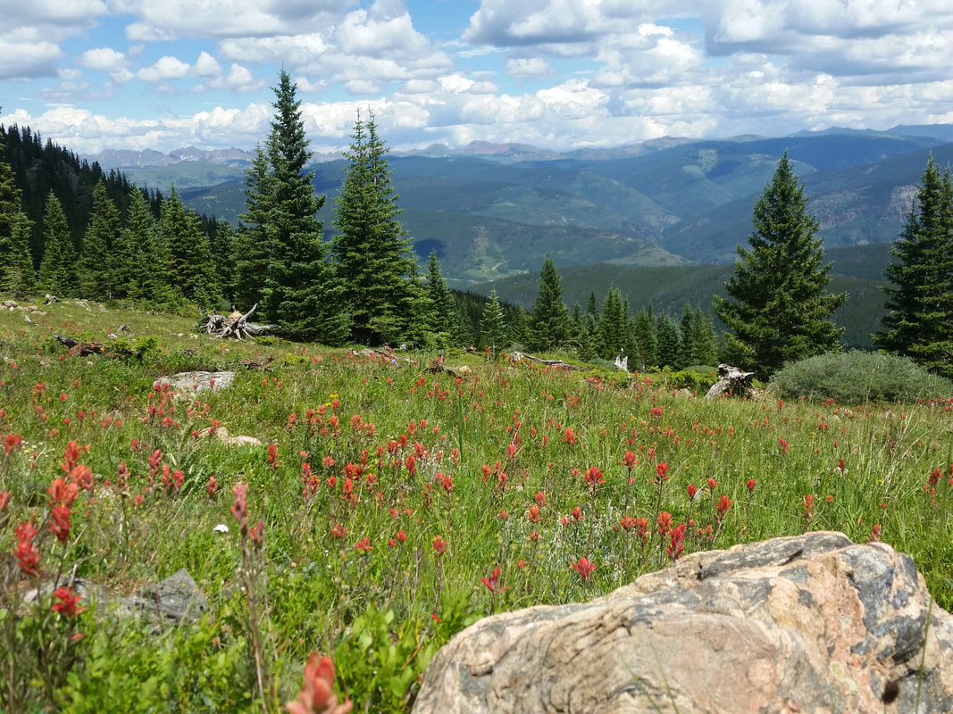
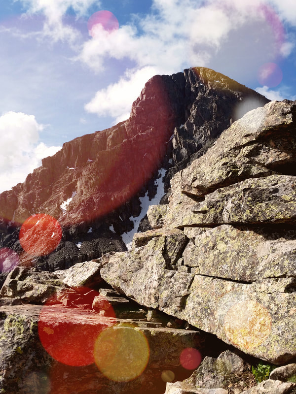
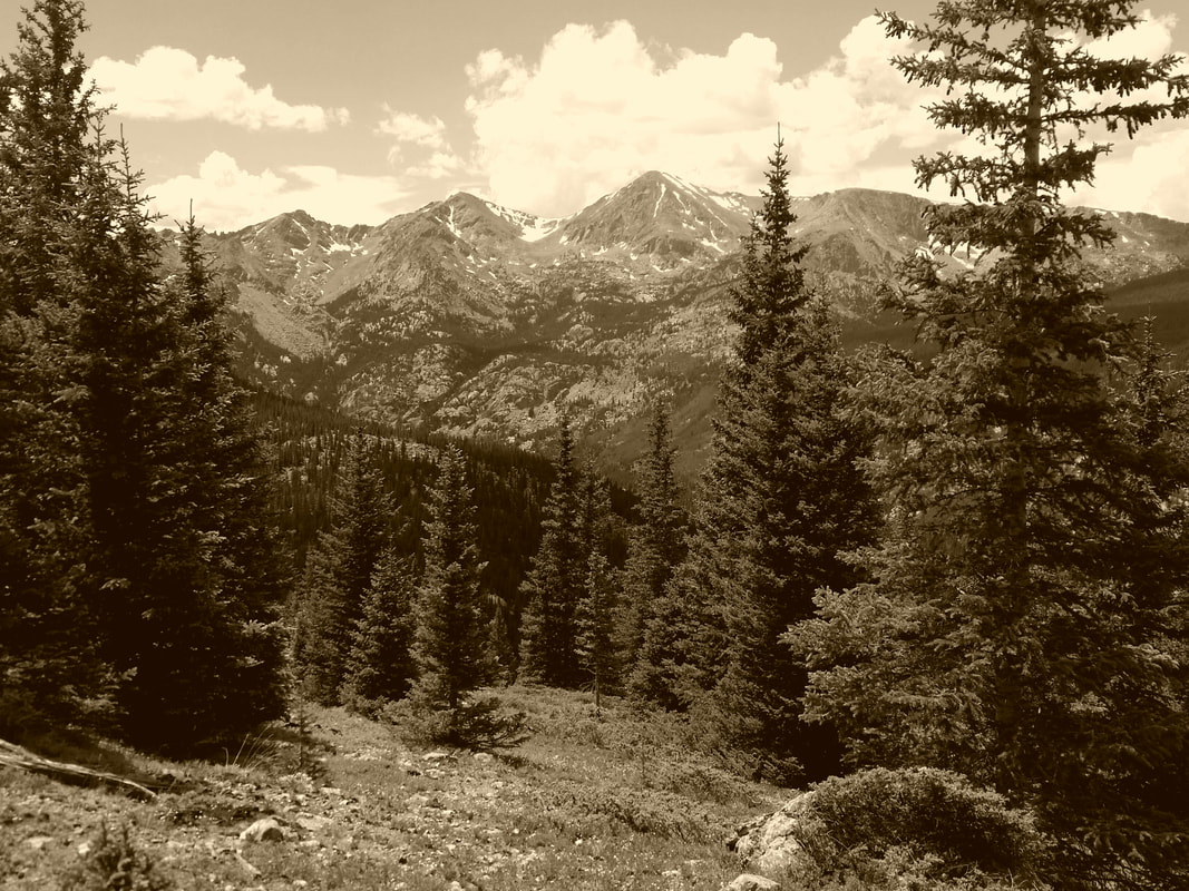
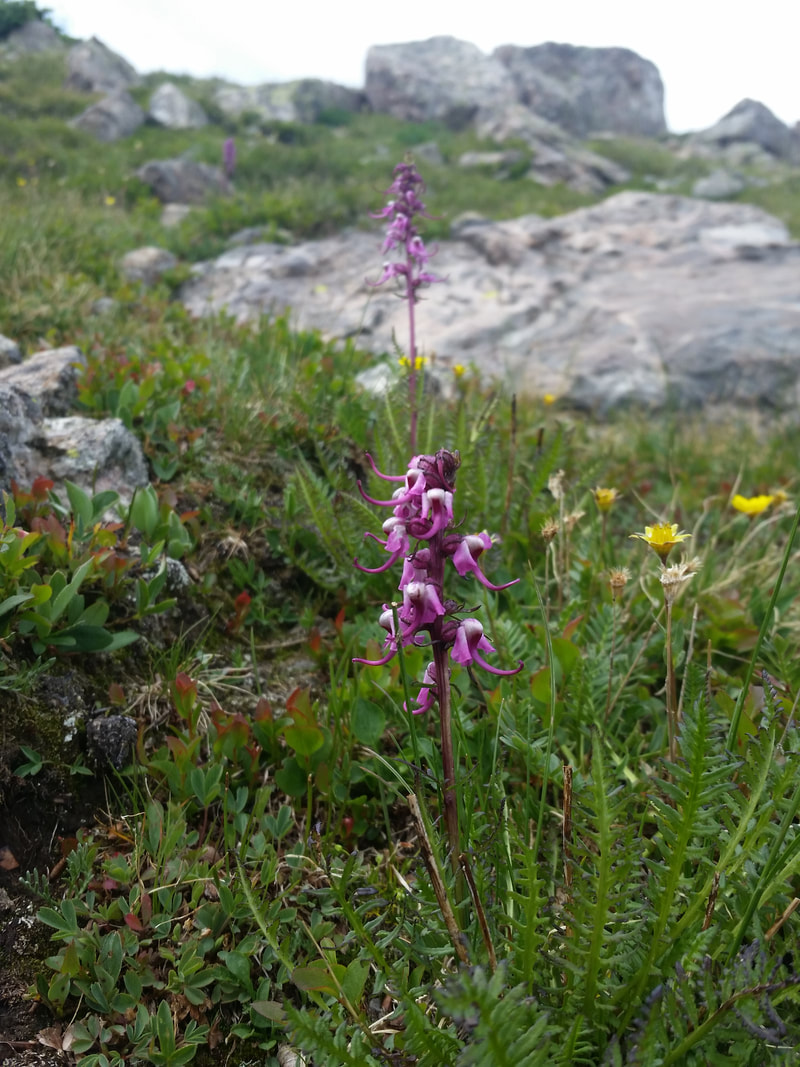
La Plata Peak, July 9, 2017
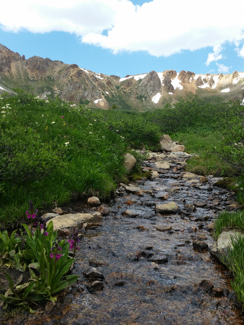
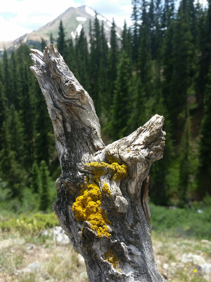
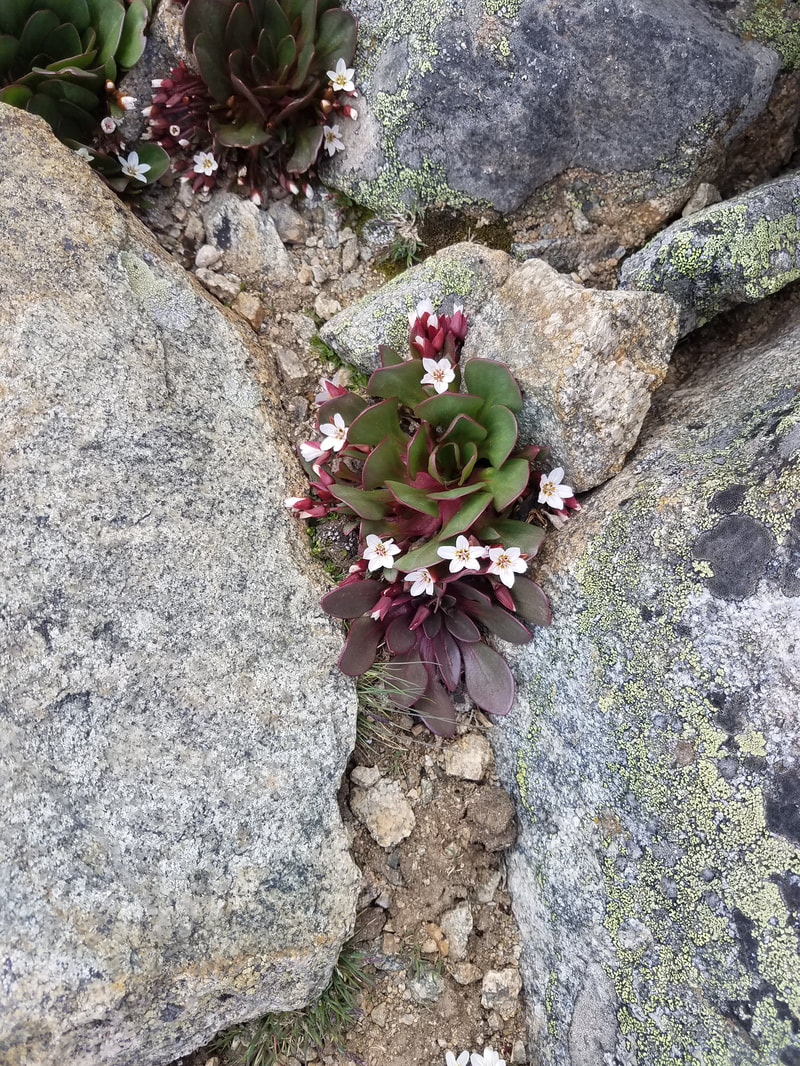
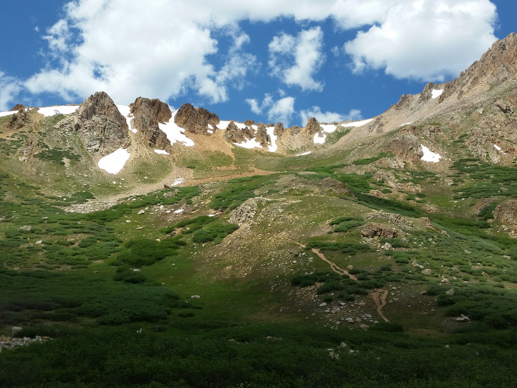

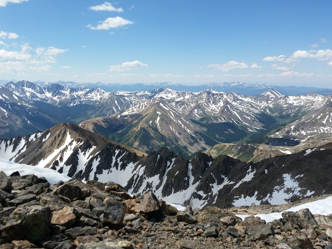
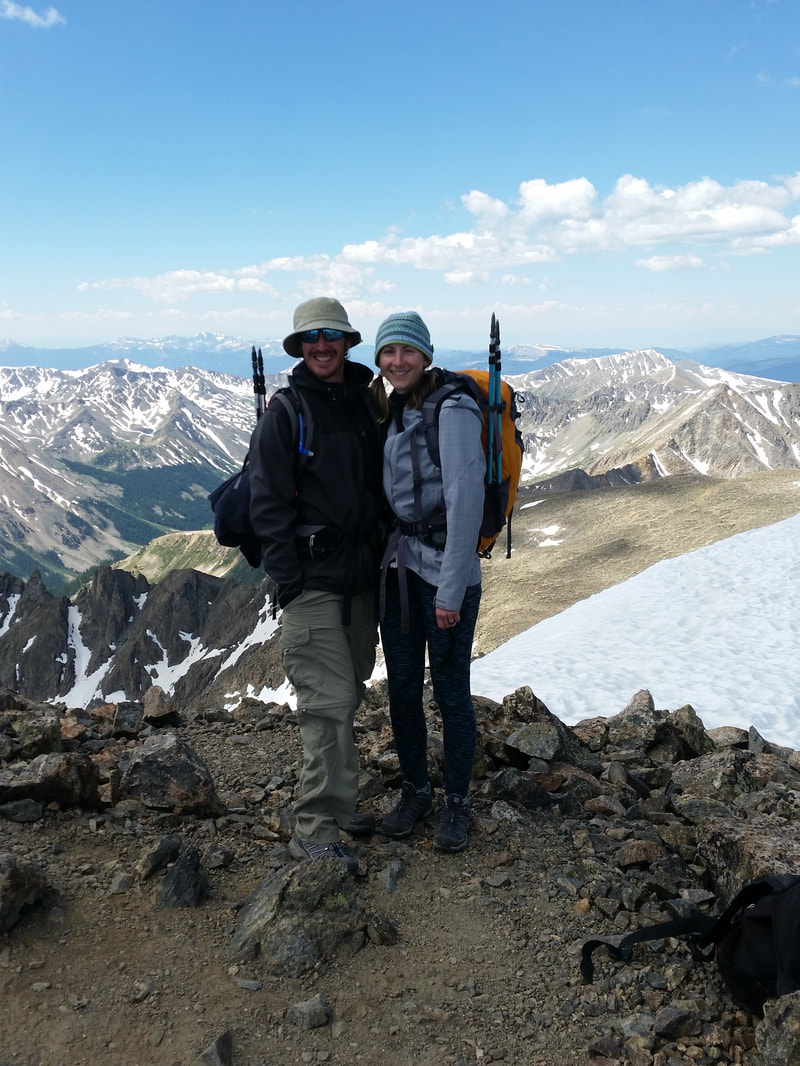
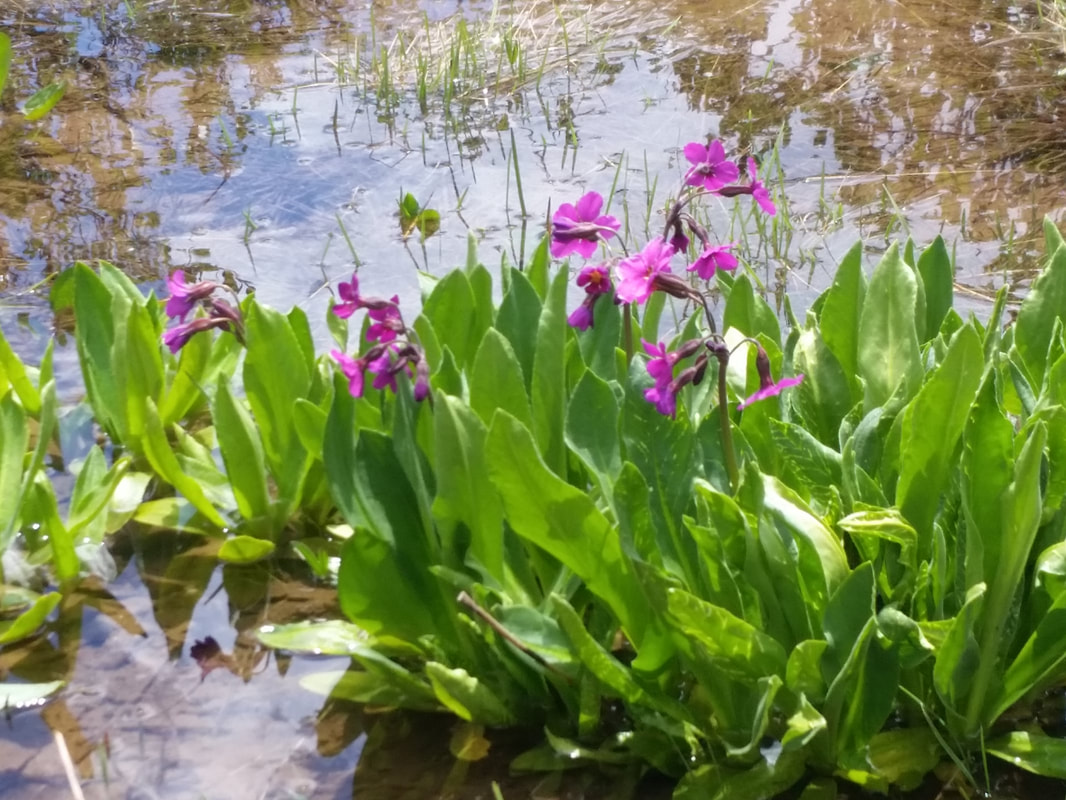
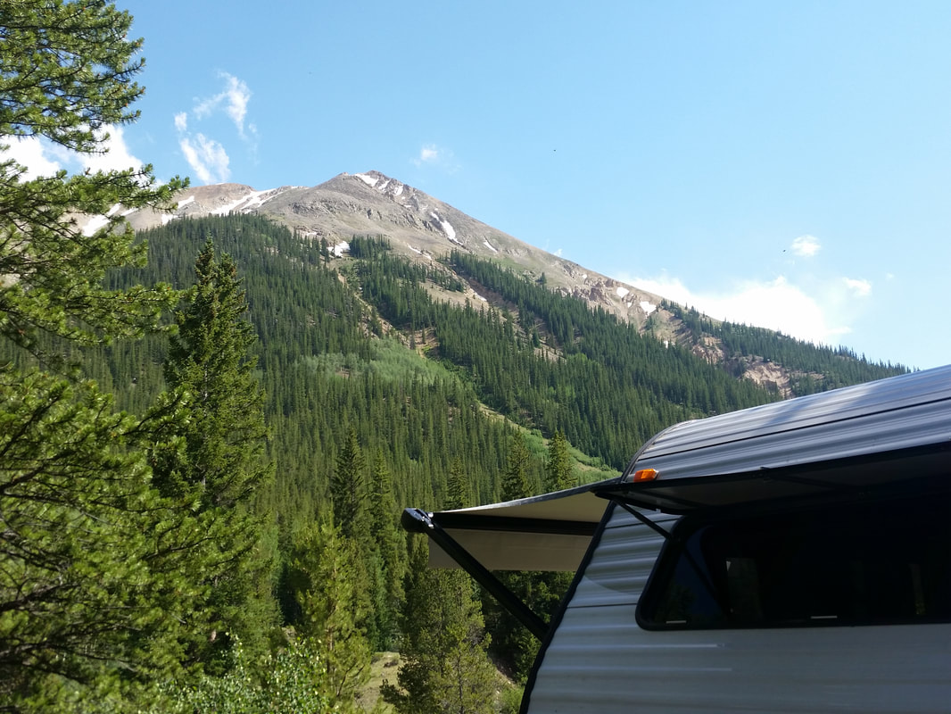
Mount Massive, June 18, 2017
Here we are on old stomping grounds as we begin our 2017 climbing season. We find ourselves back on Halfmoon Road, nestled between the Elbert and Halfmoon campgrounds, on a cozy dispersed site a good distance from the dirt road. I just scootched nearer the campfire to dodge a pesky and persistent mosquito. A raven just soared overhead, and we’ll be making dinner soon. Tomorrow’s climb up Mount Massive lingers in my mind as I sip chilled Pinot Grigio out of my “the mountains are calling” camp mug. Such luxury!
I can’t entirely express what these outings do for me, other than that they set my heart and mind right. I feel a huge sense of peace, like all troubles melt away, and I’m precisely where I need to be at this very moment.
The next morning, after a 45-minute crawl up an old off-road, we reached the North Halfmoon Creek trailhead, a shorter, albeit steeper, route to Mount Massive’s summit (the other route beginning at the Mount Massive trailhead). A little past 7 am, we hit the trail, making short work of the first mile or two. Halfmoon Creek on our left was roaring with snowmelt, and we saw some spectacular white water and waterfalls rushing through the narrow canyons.
Soon we emerged in a big, grassy bowl, which appeared to have fallen victim to an avalanche the previous winter; debris was scattered everywhere, including uprooted trees, pine boughs, aspens and willows bent over and snarled into one tangled mess. I try to imagine what it was like to witness this roaring snow monster come crashing down the side of the mountain. The aftermath was a great sight, and a sobering reminder of Mother Nature’ s power and austerity.
After the debris field, we began gaining altitude at a pretty good clip, scrambling up steep slopes, boulder hopping, and crossing small streams. We skirted around the base of sheer cliffs laced with delicate waterfalls cascading down from heights beyond our sight. We couldn’t see Massive’s summit, but gradually we angled towards the general direction (thanks to our wonderful gps map and tracker we decided to use on our climbs from now on). Across the valley we could see Mount Elbert and several other peaks graced by the morning sun and adorned with glistening white snowfields, all under a startling blue sky.
As we continued our climb, we rounded a bend and suddenly stumbled across a pile of old bones, then a jaw bone, and finally a mountain goat skull and spine. We wondered if a predator had killed it, or if it had d succumbed to the crushing power of the avalanche that winter. Regardless, it was a very cool find.
Using our gps tracker on Tyler’s phone, we scrambled above treeline and across the open tundra. Lots of flowers were in bloom already and we came across copious amounts of bees, butterflies, ladybugs, beetles and spiders, all living out their tiny lives. It still blows my mind how much life is up here at this extreme altitude. We’ve even seen spiders and butterflies on some summits.
Due to heavy snow late in the season, much of the trail was covered in thick snowfields, so we had to do a lot of post-holing and shimmying straight up and across these to stay on our route, more or less. The good this about these massive snowfields is that you can glissade (a fancy term for sliding down on your butt) down them on your descent, which is precisely what we did later, saving us, I’m guessing, around 800-1200 feet of descending. And of course, it’s fun!
By 11 am we reached the summit under crystal clear skies, and a very light wind. The crowds were low, pretty much non-existent, which is always a treat. Mount Massive is Colorado’s second tallest peak, topping out at 14,421 feet. From the trailhead, we ascended 3.4 miles and gained 3900 feet in those 3.4 miles; not easy, but a very beautiful, scenic and quiet trail.
While eating lunch on the summit, we befriended a very inquisitive and tame, one-eyed marmot, who came right up close to us, even putting his little paws on Tyler’s backpack and imploring us for treats. We did give the little fella a few nibbles, and after a while he made his rounds to other groups enjoying their lunches.
By noon, we’d finished lunch and dried out our socks and shoes. We wished everyone on the summit a safe trip, took ample amounts of pictures and started our descent. We made good time, running into lots of marmots and pika along the way. Two hours later, we reached the first snowfield. I was a bit nervous to glissade, but Tyler told me to be brave and off we went, sledding down on our windbreakers, or in my case my wadded up windbreaker and my wet and cold butt. And so it went, down one snowfield, traversing over to the next, down another, until we linked up with the trail again. By now, my pants were soaked. Luckily, I had brought a spare pair, so there I stood, bare-assed on the lower slopes of Mount Massive, changing into dry gear as quickly as I could. Of course my husband found way too much humor in this situation.
The remainder of our journey was easy and beautiful. It was the perfect day for this adventure, and my heart is much lighter. By 3 pm, we reached the truck and after dipping our feet into the icy Halfmoon Creek, we rumbled back to our campsite, enjoying an ice cold beer by 4pm. We dozed in our hammocks in the afternoon sun, the light streaming through the lodgepole pines. Happy, content little adventurers, another journey in the books!
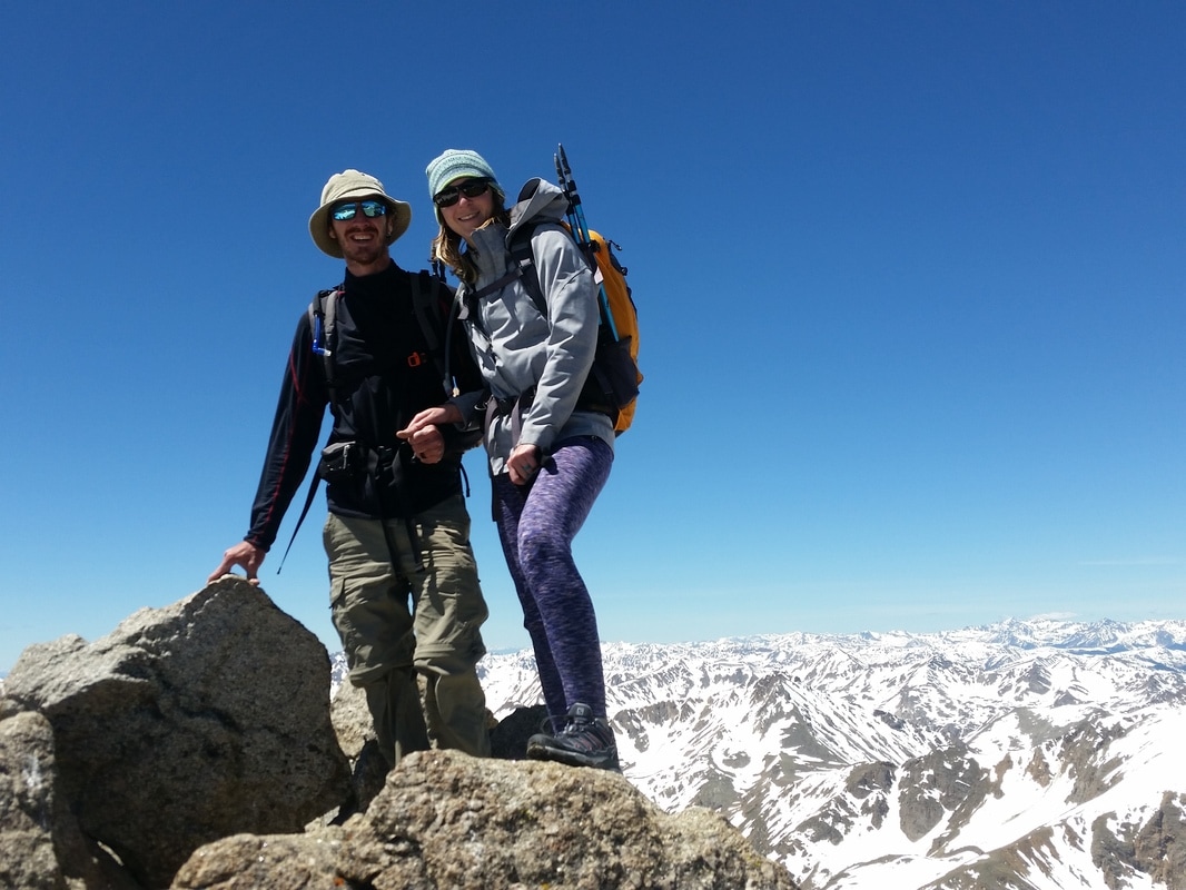
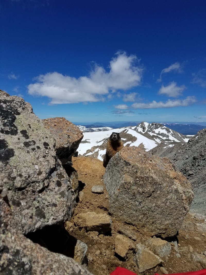
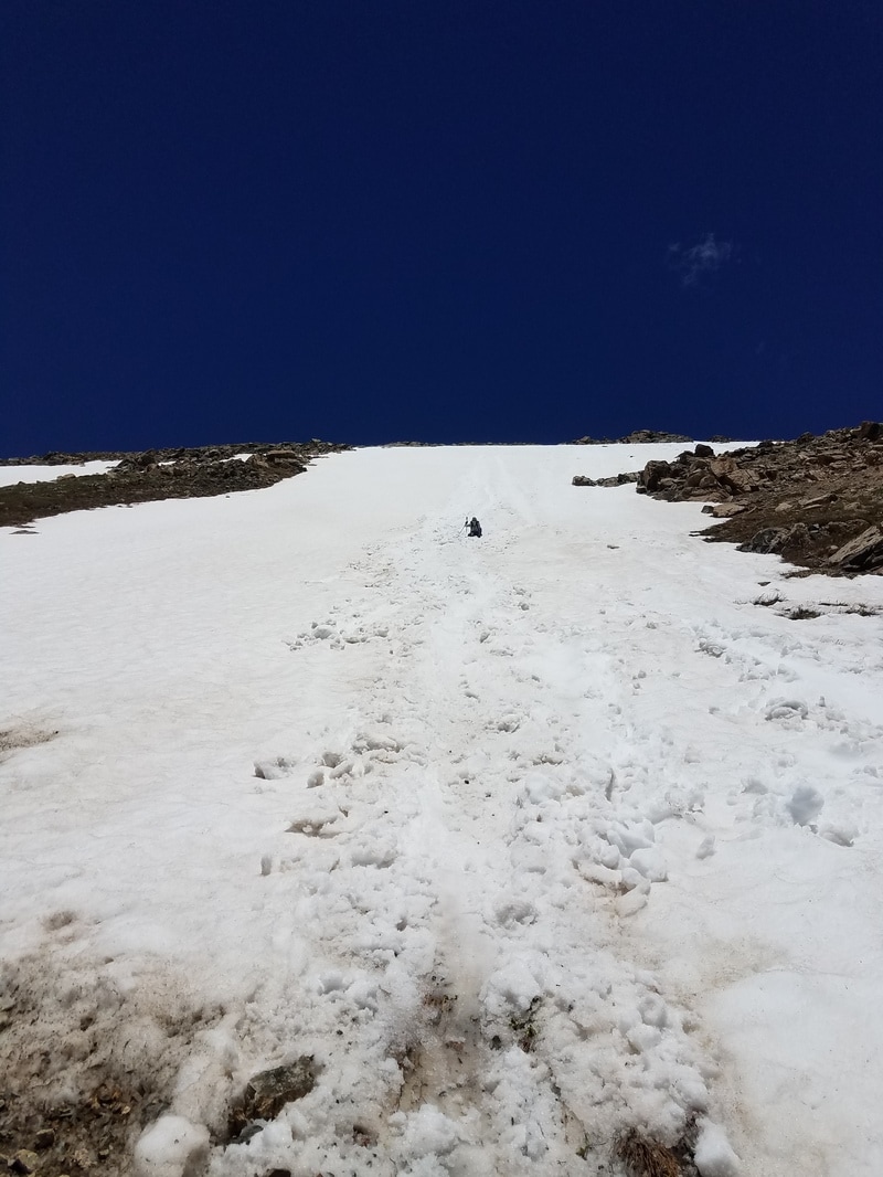
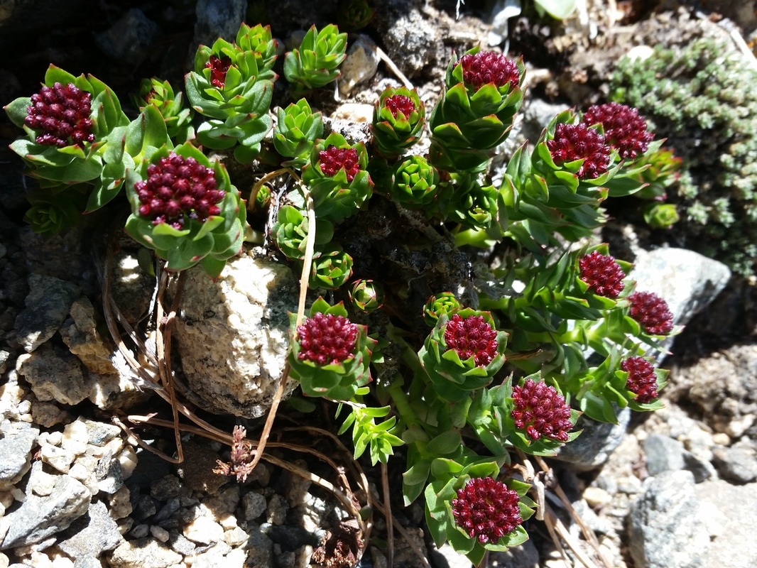
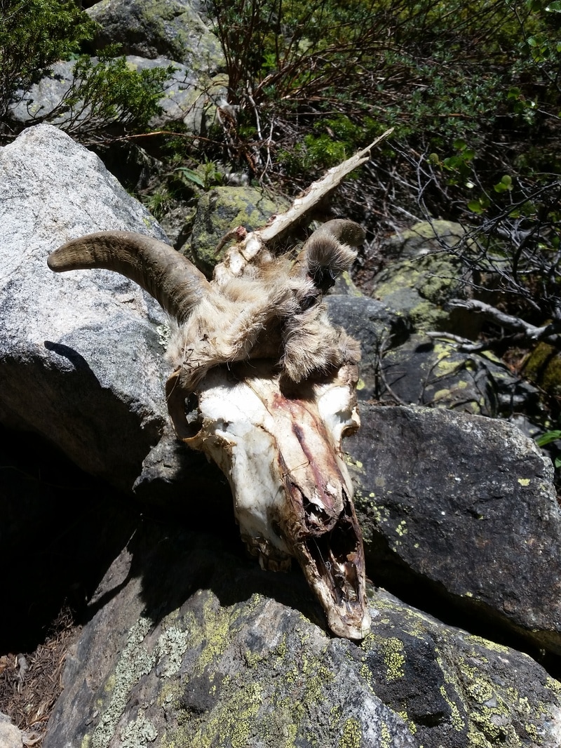
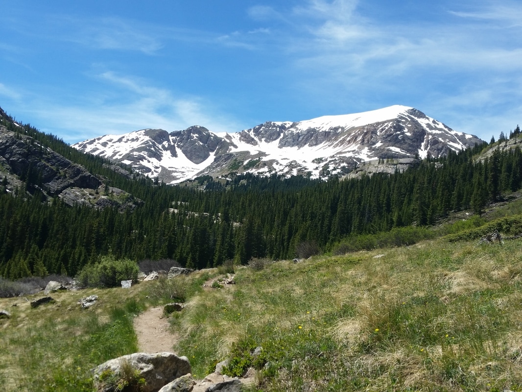
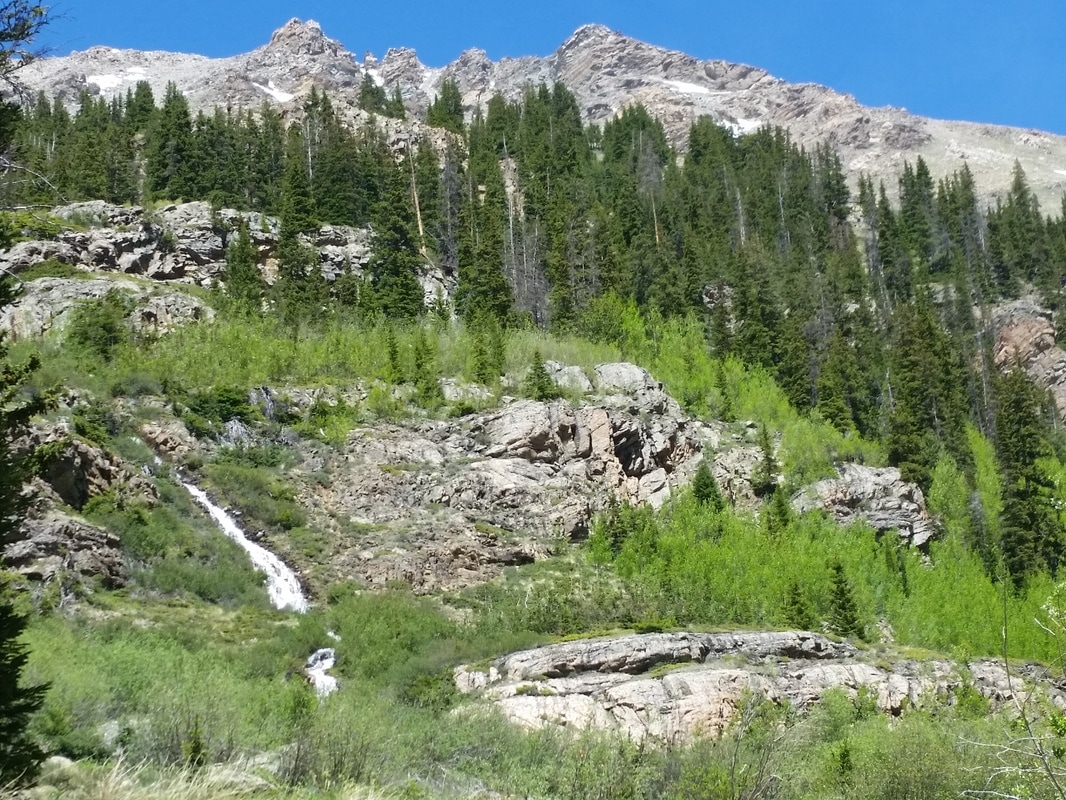
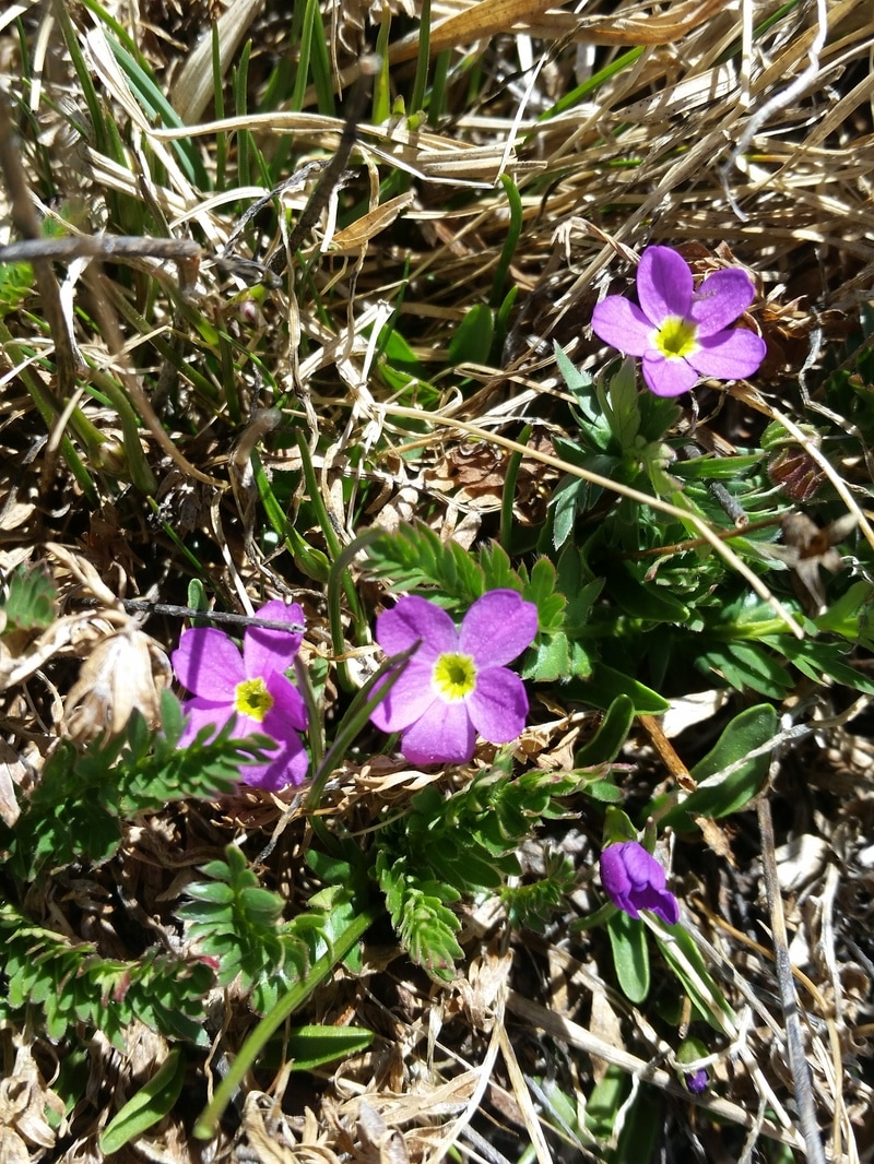
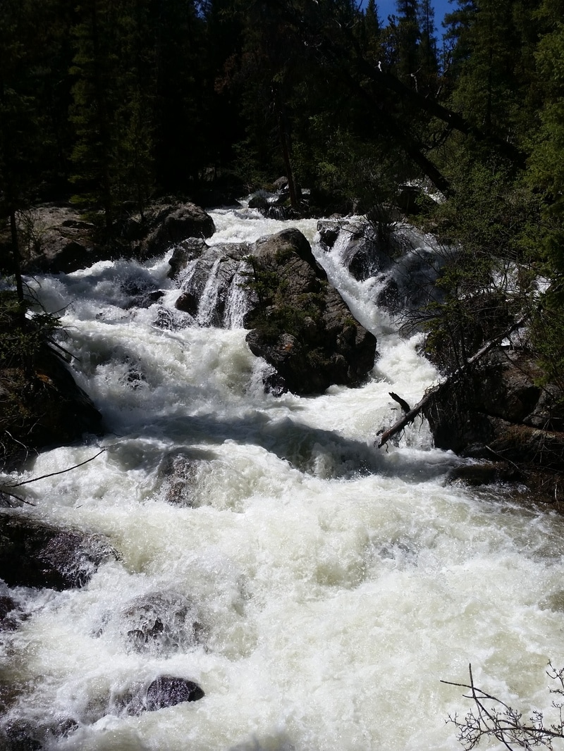
Springtime in the Colorado Rockies
April 2, 2017
After a very long hiatus from photography, I finally made a date with my camera and spent the day on walkabout, through the pine forests, along icy creeksides and beside sheer cliffs. There's nothing like a spring day in Colorado with bluebird skies, the warm sun on your back, but the wind still feeling a touch like winter. And over the far mountains brews another winter storm set to come in later in the day. I can't describe how wonderful it felt to view the world through the lens again, to get that shot just so. It's good to be back!
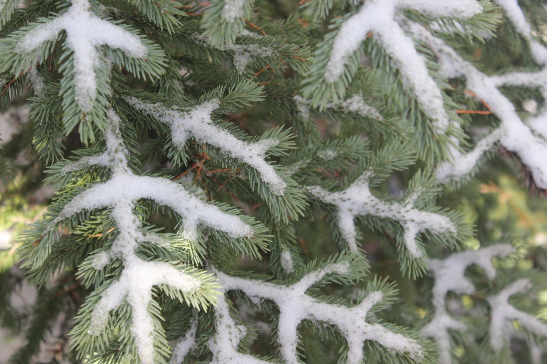
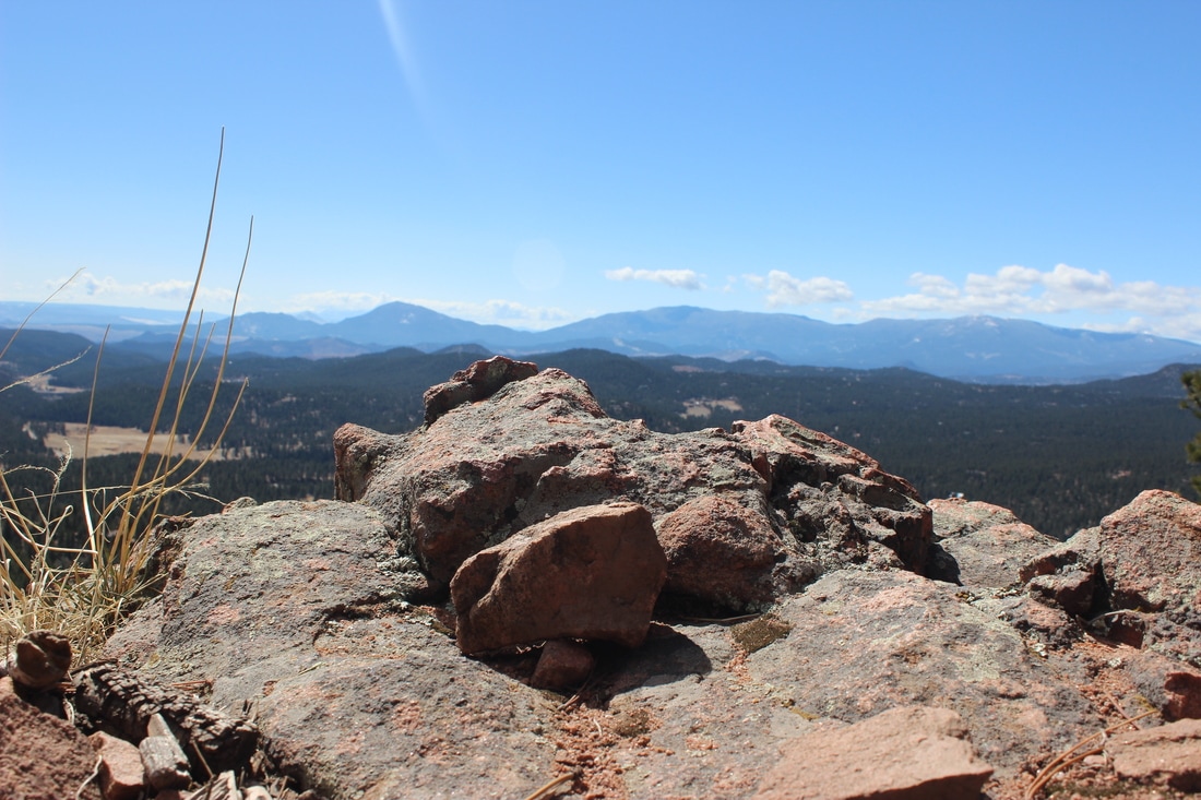
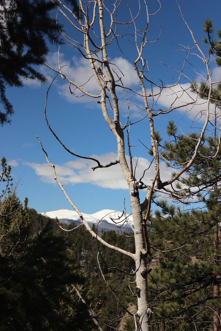
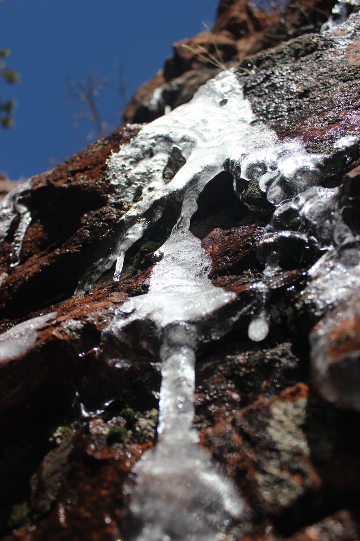
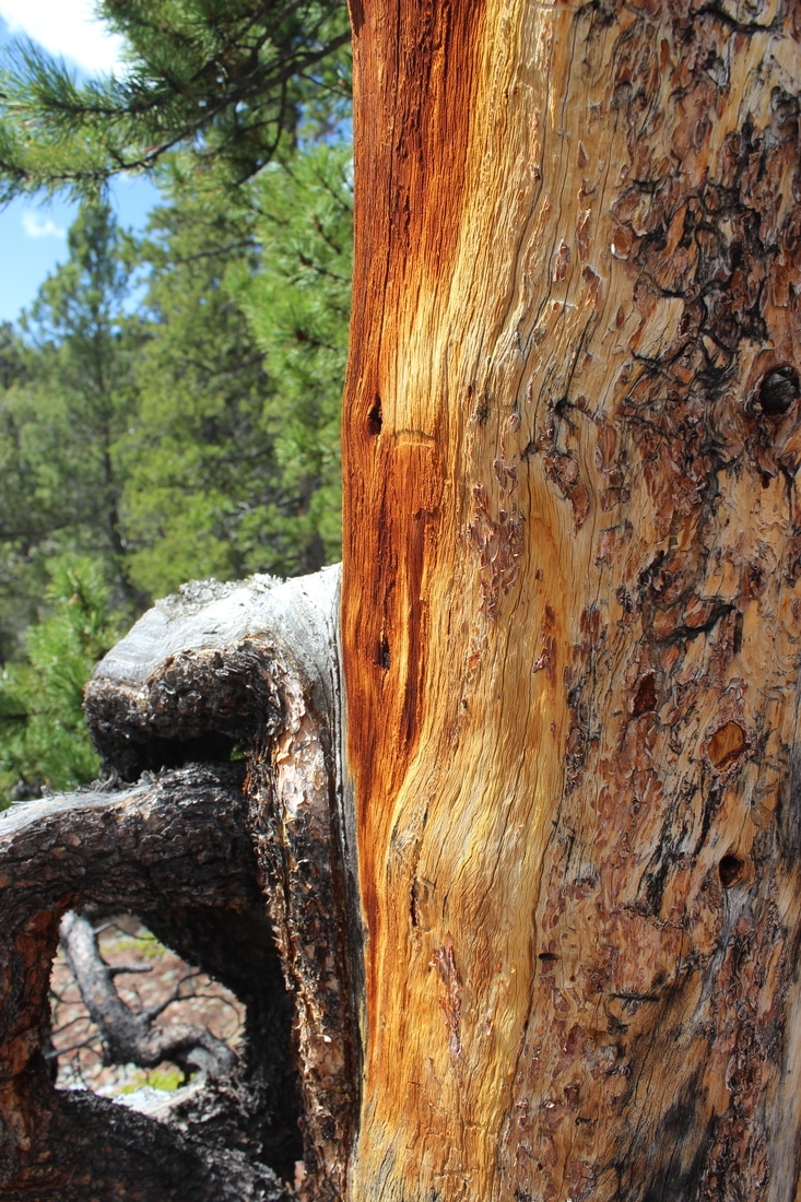
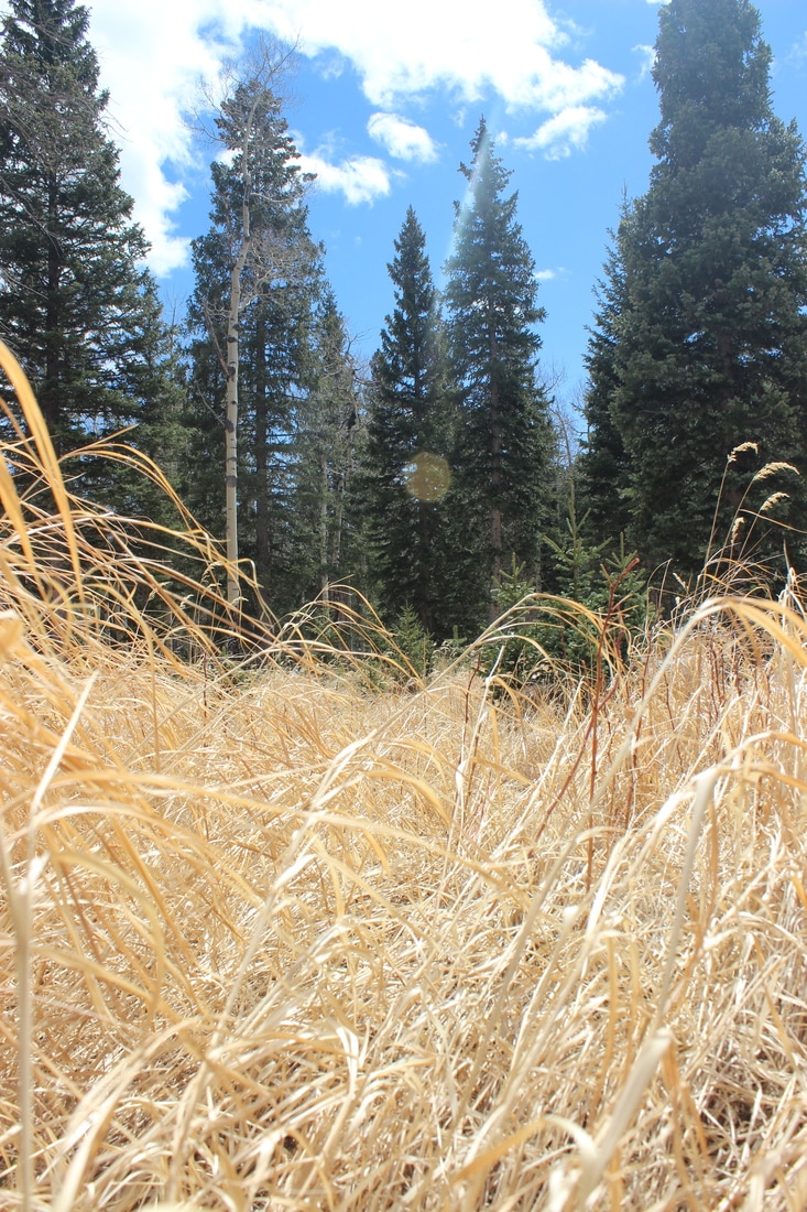
Mount Antero, October 2, 2016
Since our lovely Colorado weather has been holding out so far, my husband and I decided to take yet another trip south, back towards Buena Vista. Although this time we ambled more towards Salida I suppose. After a short while we took a right down Chalk Creek Road, which led us past the Chalk Cliffs and the Mount Princeton Hot Springs. If you take the road to its end, it will lead to several ghost towns, including the scenic and historic Saint Elmo.
After spending a good bit of time driving around and trying to find a dispersed campsite, we lucked upon a technically closed campground, Iron City. I say “technically closed” because most campgrounds close at the end of September, including this one. The handles had been removed from the water pumps and the pit toilets had been locked up, but since County Road 292 runs straight through the campground, it wasn’t closed with a locked gate. We ended up not having to pay a fee and had the whole campground to ourselves; so we picked a great little spot among the pines and aspens with Chalk Creek running just down the hill a short bit.
The next morning, after our alarm failed to go off, we got underway around 7:30. We decided to drive on Forest Road 277 towards Mount Antero as far as we could, to shave off a few miles, even giving a couple of guys from Missouri a ride along the way. FR 277 was by far one of the roughest and most challenging roads that we’ve taken so far to reach a Fourteener trailhead. We drove all the way up Baldwin Gulch, and just before the turn off to Baldwin Lake, we crossed Baldwin Creek once and decided to call it good. Time to hoof it from hear.
I’ll admit, I hadn’t been looking forward to doing this mountain, mainly because the trail is actually a road that is popular with 4-wheelers and Jeep lovers who like a good off-road challenge. We did meet a few folks heading up and down, but not as many as I had expected, and the hike was very easy and straight forward. We even saw a group of three ptarmigan first thing in the morning and several groups of six or more mountain goats as we descended later that afternoon.
After a while we came to the shoulder of Mount Antero, after which the summit was only maybe another 1000 feet up. Most people parked here and hiked the rest of the way. Lots of mining equipment was scattered around here, as Mount Antero is famous for its topaz deposits.
By 11:30 we’d reached Antero’s summit, a whopping 14,269 feet above sea level. It was a perfect day, just a few dark clouds in the far, far distance, no wind and no crowds. We could see the entirety of the Sawatch Range all around us, and it felt really cool to say that we’d climbed them all. Well almost: Mount Tabeguache still remains for us, but that climb probably won’t happen until next spring.
We ate our sandwiches, and then started making our way back. Near where Forest Road 277 and 278 meet (the latter leading towards Mount White) we came upon a bulldozer/excavator that had broken its track and had been abandoned there. It looked like a job that required specialized tools to fix, and it left me wondering how one would go about that at 13,500 feet. Hopefully they could get it fixed before winter blanketed the mountains in snow.
Around 3 pm we reached the truck, and an hour later we’d made it back down the harrowing road to our camp spot at Iron City. Overall, the hike took us six hours, eight miles, and 3,330 feet in elevation gain. Celebratory beers, a cozy campfire and pasta with tomato sauce, pepperoni and mushrooms rounded out the evening.
The next morning we made our traditional big breakfast with bacon, eggs, pancakes and fruit. The temperature had dropped dramatically overnight, a prelude to the colder weather that was supposed to move into our state this week. Rain spittled on us as we started packing and readying the camper for the drive home. Fog obscured Mount Mamma, which had been our camping companion the last couple of nights. Many peaks along our drive had a light dusting of snow on them from overnight, and a gusty wind rushed through the aspen groves, scattering many of the gold, red and orange leaves to the ground. As we neared Highway 285, the Sawatch Range disappeared behind thick curtains of white clouds. Until next year!
On a small side note, I have never seen an area of aspens so besmirched by people carving their names into the bark of the trees. Please refrain from doing so. Leave the place as you found it, wild and unmarred by man. And as always, pack out whatever you bring in.
Mounts Columbia & Harvard, August 28, 2016
We had another camping weekend in the Buena Vista area. Can you tell we just love this place? And not just for the mountains. Both Tyler and I have joked about buying property here someday if we’re able. One of those dreams of ours. But for today we drove the truck and camper down CR 365 for about a mile or two past the residential area and found an absolute gem of a camping spot. It was quiet, private and scenic (and free this time, since this was a dispersed site). Right outside our “dining room” window we could see Mount Columbia towering into the sky. I’ll say this is my absolute favorite spot this summer!
A bit further down the road we discovered, after walking a ways, another stellar camp spot right beside the creek. The only reason we decided not to camp there was because the road leading down to it got really, really rough, rocky and steep. It was something to work up to for another day we decided. There was yet another site that also caught our eye, but an old elk carcass nearby made us hesitant to stay here. So we settled on our original spot.
I’d been trying to shake a headache since that morning, so we spent the afternoon doing what we usually do: reading and snoozing. I’ve noticed a dramatic shift in our normal monsoon season the last two years, from July to August, making the month much colder, windier and rainier than usual, which makes me very glad to be in a warm and dry camper before a big climb. I’ll admit, I guess we are glamping a teeny, tiny bit.
After a quick dinner we spent the evening indoors, as the wind and rain whipped up again. Hopefully tomorrow the weather would settle for us, as it was going to be a very big day.
Which started at a quarter to five. It was still dark out, with the stars and a crescent moon speckled across the sky. We ate our breakfast, quickly packed and drove a few miles down the road to the North Cottonwood Creek Trailhead. By 6:20 am we were winding our way through the dusky woods and skirting the creek for about two or three miles. We came across a huge, squat spruce tree beside the trail, no taller than six feet but at least twelve feet in diameter. I called him the Cartman Tree (from the South Park television show). Shortly after the plump tree we took a right on a well-defined trail which led us up the western slopes of Mount Columbia. The route was intensely steep and eroded; oftentimes we’d be crawling up the mountainside on all fours. As we neared the shoulder that would take us to the summit we came across a pair of ptarmigan making their way through the grass. Very quietly we heard them cooing to each other.
Quickly we made our way along the ridge, the foliage already turning all shades of red, brown and yellow with the changing season. A few late-blooming wildflowers were still making a final stand. Just as on Mount Yale a few weeks ago, the fog closed in on us as we neared the summit, obscuring any views of the mountains we knew to be in the distance. By 10 am we crested Columbia’s summit at 14,073 feet. We didn’t spend much time on the foggy summit, but quickly started our descent towards the connecting route to Mount Harvard. The initial descent took us through a boulder field, over grassy hills and to two points jutting out over the ridge. All this was nothing serious and we still felt confident about summiting our second peak that day. Only a few minutes later did we end up in some serious trouble, with the option of turning back out of the question.
The actual ridge was way too dangerous to traverse. So we ended up having to shimmy our way down Columbia’s north side to the Frenchman Creek drainage. The drop was near vertical. Rock slides skittered down below and past us every few seconds, and our clambering didn’t help the danger. I asked Tyler to go ahead a ways, then tuck into safety behind some large boulders while I came down after him. I was so afraid that he would get whacked in the head by a falling rock. At one point a huge rock above me started to slide, the sand and soil quickly giving way. Not wanting to be crushed, I stuffed the toes of my boots into the cliff and hefted the boulder back into place. My nerves were so frayed by this point I was shaking.
Eventually we reached the massive boulder field at the base of the cliff, which would lead us to the shoulder that would take us to Mount Harvard’s summit. We searched and looked for a discernible trail, but found nothing other than a few haphazardly placed rock cairns. We chanced on the hope that they marked some kind of route. Adding to our troubles, hail and rain started coming down, making the boulders slippery. Cautiously we trudged on, jumping over deep crevasses that would easily break a leg from one slip or misstep.
After a while we met two other fellows coming from Harvard. We strongly advised them to go back, stressing how treacherous our trek had been. They decided to press on and we wished them good luck.
Slowly we made our way out of the Frenchman Creek drainage. As we climbed the last scree field we came across an odd flat area, at the end of which was a shallow, mostly collapsed mining tunnel. Two old and rusty shovel blades lay in the rubble. It made us wonder what story had been lost here, whose fortune had or had never been made. I guess only the mountain will know.
While we rested by the mineshaft we heard a strange whooping across the boulder field that we had just crossed. My initial fear was that one of the climbers we had met earlier had fallen and was crying out for help. Then we realized that it was a lone coyote yipping and howling, and a few moments later her pack or her pups answered her from far down the valley. It was such a beautiful and special moment, despite our weariness.
One last push across alpine tundra would take us to the summit ridge. I was at my breaking point by now. Hungry, exhausted and completely spent, Tyler urged me on. His support definitely got me through this adventure. The clouds parted and a burning sun blazed down on us.
Finally, on the summit ridge, we came across a very faint trail. I collapsed beside it. I had to take a break, eat and rest. The view though was just stunning: green valleys stretched in either direction, tall peaks kissed the sky, and we were right in the center. I absolutely love feeling so small. Despite the hardships, this rugged wilderness is my favorite place to be. Although dangerous and humbling, it’s also beautiful, peaceful and restorative.
After our lunch break we shouldered our packs (which I swore was getting continuously heavier) and plodded along the summit ridge, Harvard’s peak not far in the distance. Every step at this point felt like iron, my heart pounding, my body scolding me. Somehow I dug deep and kept going. Sometimes you just have to shut off the analytical brain and go on auto pilot, and keep putting one foot in front of the other, over and over again.
At last, at 2 pm we reached Mount Harvard’s summit at 14,420 feet, our 20th 14ner. Harvard is a very cool mountain, and very different from the many others we had climbed before. Whereas most 14ner summits are made of small boulders, stones and rubble, Harvard’s peak required us to climb maybe a dozen car- and truck-sized boulders. There was only enough room on the top for maybe six or eight people. Lucky for us, only two young guys from Chicago greeted us.
From the summit, we could see our whole way back to the trailhead, and it looked so incredibly far. I truly had doubts if I’d make it. But with storm clouds looming and thunder rumbling, we beat a hasty retreat down the impressive peak and switchbacked our way down the mountain. On the way we were treated with two small groups of mountain goats, even with a couple of babies in tow. We hadn’t seen these guys since climbing Quandary Peak back in 2011. Their sight gave me a second wind. We also saw copious amounts of marmot and pika.
The trail took us below and past Bear Lake and Brown’s Pass, and ambled along Cottonwood Creek. The rugged peaks and crags surrounding the valley were so stunning. Such wild country!
Eventually both of us ran out of water, with several miles still go. I switched back to auto pilot, ignored my raw and blistered feet, my sore knee and parched throat. One foot in front of the other, I kept repeating to myself. Thank goodness for Tyler and his support.
By 6:38 pm, over twelve hours after we began, 15 miles and 6100 feet in total elevation gain later, we reached the truck. I could have kissed the ground it was parked on. I think we were the last people off the mountain that day. Tyler and I chugged a can of Kern’s apricot juice, got in the truck and drove back to our camper “home”. A shower, minestrone soup, beers and a game of glow-in-the-dark dominoes lead to an early bedtime. I’ve never had a more solid sleep in all my life.
“Mountains, wilderness, nature show us exactly what we’re made of,
at our very cores, our base essence. They expose us as we are, raw
and without the facades of daily life.”
~by Yours Truly (Mira Paul)
Mount Yale
August 6, 2016
Our travels took us south this weekend, just outside one of my favorite little towns, Buena Vista. We drove down Cottonwood Pass Road for several miles, past Rainbow Lake and to the Collegiate Peaks Campground. Upon arrival, we saw a sign out front that read "Campground Full" and my heart just sank. "Here we go again," I thought. But we decided to push our luck and at least drive a loop through the campground; maybe we'd find an open spot. And sure enough we did. In the pouring rain we parked and set up our camper, and after a short while the sun peaked out and we took a short walk to look around the place. This is a great campground. There are plenty of sites, but everything is really private and quiet, with lots of aspen trees, firs, meadows and a creek flowing nearby. We even spotted an osprey in the trees across the valley.
The next morning we hit the Denny Creek Trailhead at 6:30 am to reach Mount Yale. The weather was a far cry from what we're usually used to. No bluebird day today. Thick fog and a steady drizzle accompanied us the whole way. We snaked our way through dense, loamy woods, thick with heavy undergrowth, moss and mushrooms. We even spotted a white-footed hare careening across the hillside. After following Denny Creek for several miles, we crossed the rushing water one last time and began seriously ascending up Mount Yale's shoulder. I have to say, I loved this type of weather for hiking a 14ner. With everything shrouded in fog, the whole experience was lent with an air of mystery and intrigue. Rarely could we see more than 30 feet ahead of us, never once catching a glimpse of the summit.
By the time we reached 13,700 feet, my hair was drenched and I was wearing every available piece of clothing. Once we stepped on the summit ridge, an icy wind buffeted us the whole way to the summit. Fog swirled in every direction. We just kept going until we ran out of up. And run out of up we eventually did, reaching the summit at 10:01 am, walking in the clouds at 14,196 feet. Amazingly, the wind completely stilled at the top. It was eerily quiet and calm. I had read that you could see 30 of Colorado's 14ners from the summit of Mount Yale, but certainly not on this day. But we weren't denied breathtaking views for the entire journey. Once we neared treeline on the descent, the clouds and fog began to part across the valley, revealing lush, green mountainsides dappled with snow fields. Pockets of blue sky and rays of golden sunshine completed the image.
By 2 pm we made it back to the truck and drove a short 1 mile back to our camp. We were beat, the hike having been 8 miles roundtrip with a 4300 foot elevation gain. This one will go on my list of favorites, as it was truly a very memorable hike.
After Mount Elbert last month, Yale left me feeling very content and at peace. Don't get me wrong, I love every 14ner we climb, but on Yale the crowds were far, far fewer, even with a big festival going on this weekend in Buena Vista. We came across so many pika and marmots, none of which we'd seen on Elbert. And there were moments of absolute silence hiking up Mount Yale, with nothing but the fog for companionship. That's what wilderness is to me, to just be surrounded by the natural world and all it's wonders, and to be left feeling very small.
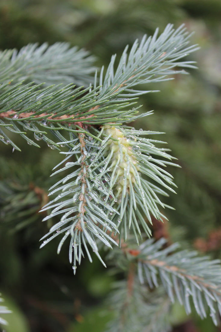
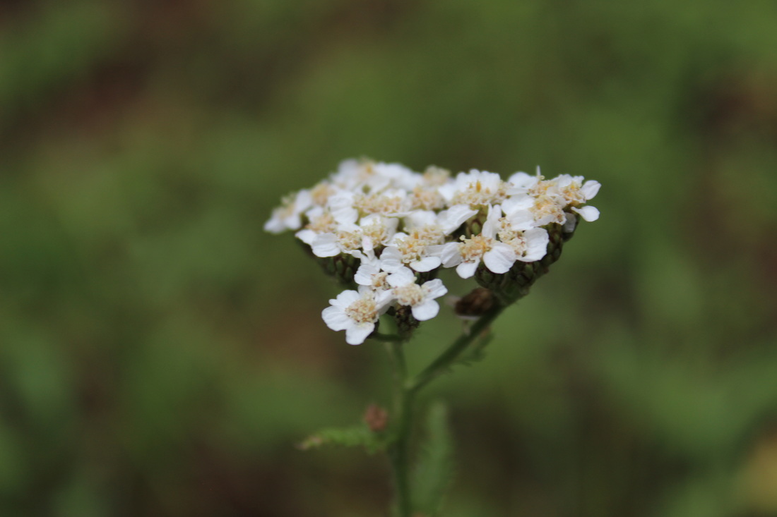
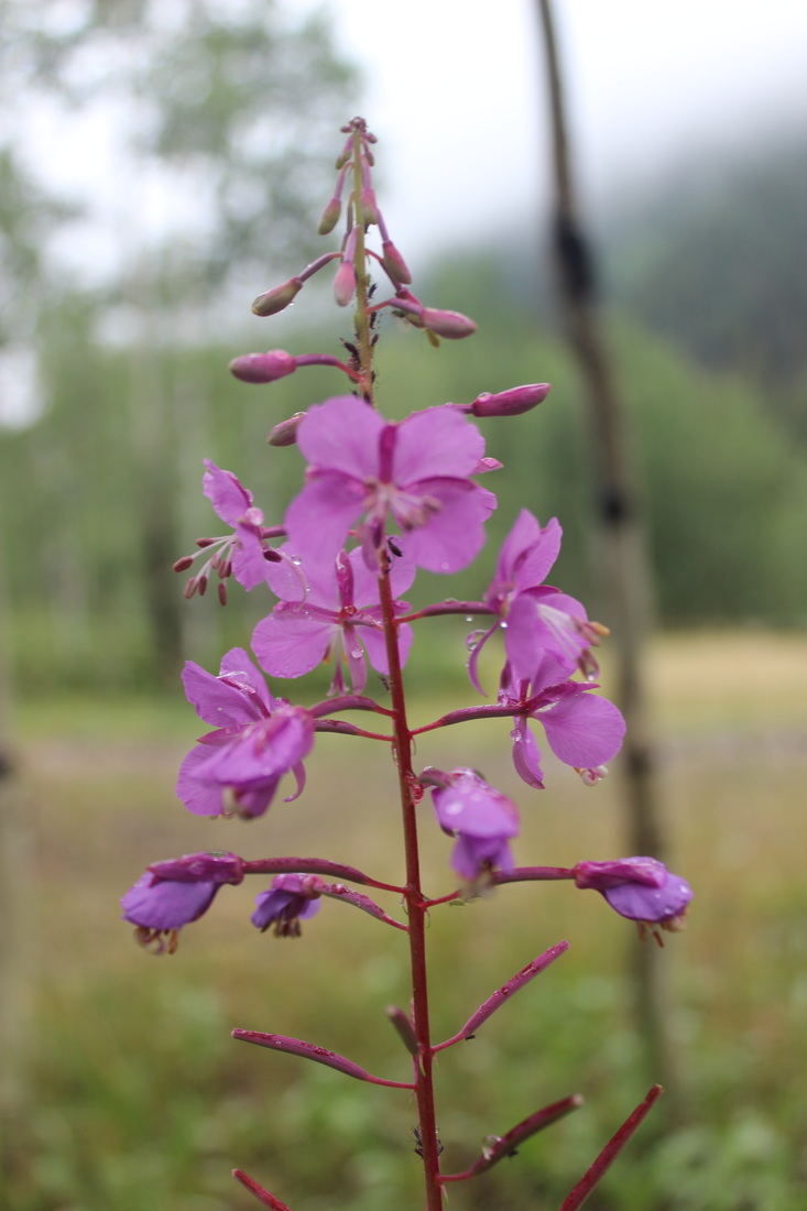
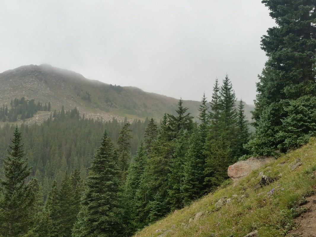
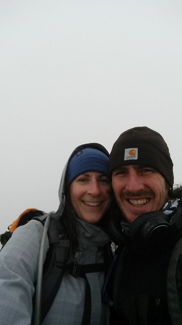
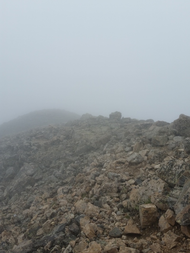
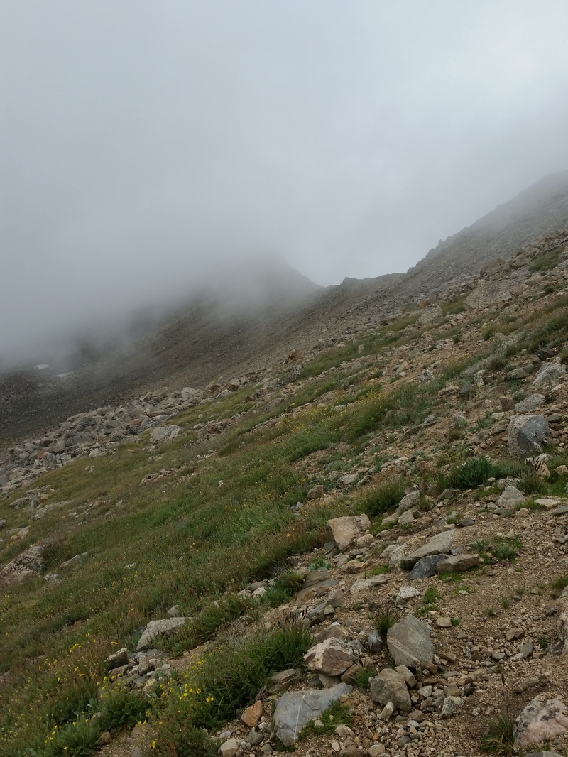
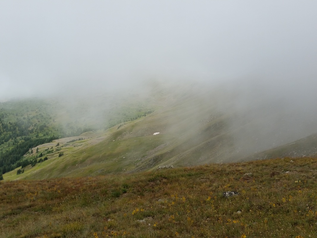
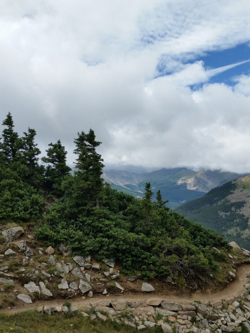
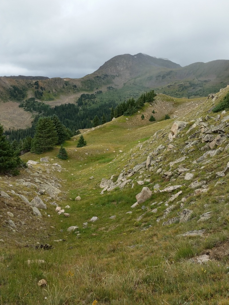
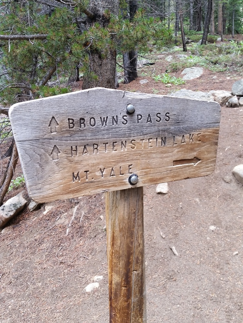
Mount Elbert, Colorado's Highest Peak
July 9, 2016
We have a whole new approach to climbing Colorado's 14ners since we bought our tiny little house on wheels, and it's made our dream much more attainable. Every time we wanted to climb, we were looking at a minimum six-hour drive from our home to and from the nearest mountain. Combine that with a six- to eight-hour climb and you're looking at a very long day. Now, we can camp at dispersed sites or campgrounds right at the base of the mountain the night before, get up at a decent hour the next morning, skip the long drive, and walk right out our front door to the trailhead.
Our first 14ner for 2016 ended up being Mount Elbert, cresting above the Colorado skyline at an impressive 14,439 feet. We'd driven from our home to Leadville the day before, and camped at the Elbert Creek Campground along Half Moon Road, across from which was the Mount Elbert Trailhead. (A half mile further down the dirt road is also the trailhead for Mount Massive, which we have yet to conquer.) The campground was great, right next to the creek, albeit the mosquitoes hounded us during the evenings and afternoons. And unfortunately it was ridiculously crowded. Colorado has just been flooded with tourists from every corner of the U.S. Don't get me wrong, I totally understand why people flock to our gorgeous state, and Colorado depends heavily on tourism, but all good things in moderation eh?
But back to the climb. We woke up at 5 on Saturday morning, had a leisurely breakfast of oatmeal and coffee, then packed our lunches and were on the trail by 6:30. I'm so glad that we camped the night before; even this early in the morning the parking lot at the trailhead was completely full and people were parking their cars and trucks in the woods. Perhaps the fact that Elbert is Colorado's highest 14ner adds to its novelty and popularity.
Our route was the North Mount Elbert Trail, which was roughly 10 miles round trip with a 4400 foot elevation gain. The first part of the trail took us south on the Colorado Trail for about 2 miles, before a fork started leading us up and out of the woods and past timberline. The mosquitoes harassed us the whole way, and I partly credit them for the excellent time that we made up the mountain. If we stopped, they would viciously bite us, even through our clothing. Heathens!!
By 10:30 we'd reached the summit. This was our 17th 14ner, and I never, ever tire of the view from the top. The day was perfect; a bluebird sky with fair-weather cumulus clouds floating by and a bright, hot sun shining down on us. The wind was very light, just enough to cool us down. Just minutes after we crested the summit, a guy proposed to his girlfriend. How great!
We ate our early lunch, dried out our shoes and socks, probably spending a good hour up there, which is a rare treat, as you usually have to descend as soon as possible if there are any thunderstorms threatening. But lucky us, not today. So we made our way down casually, sparing our knees as much as we could. I stopped often to take photos of the plethora of wildflowers; July is definitely the month to see the wildflowers bloom at high altitude. Several times during our hike down we came across some kids, maybe 12 to 15 years old, hiking barefoot, yes I said barefoot, up the mountain, carrying watermelons, yes watermelons I said. Finally I stopped a young girl with curly blonde hair and asked her why the bare feet?. She said just because they could. Then I asked her what deal was with the watermelons. She said they wanted to hike them to the top and then share them with everyone. Darn, wish we would have made it up there a tad later. But it warms my heart to see kids, especially nowadays, being out and active and pursuing crazy ideas, just because they can. I love that adventurous, carpe diem type of spirit.
We made it back to our camper by about 2 in the afternoon, took a short nap, and had a couple of glorious beers. I don't know why, but an ice cold beer or cocktail just tastes amazing after something so strenuous. A delicious dinner of grilled zucchini and buffalo jalapeno bratwurst followed, after which we sat by our little campfire and watched the stars. We crawled into bed later that night, happy, tired and content with yet another adventure under our belts.
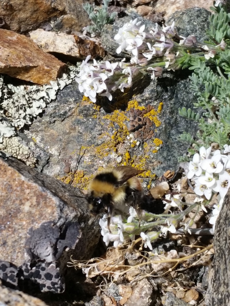
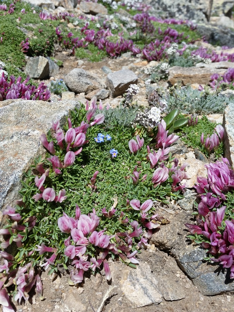
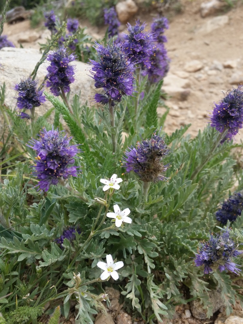
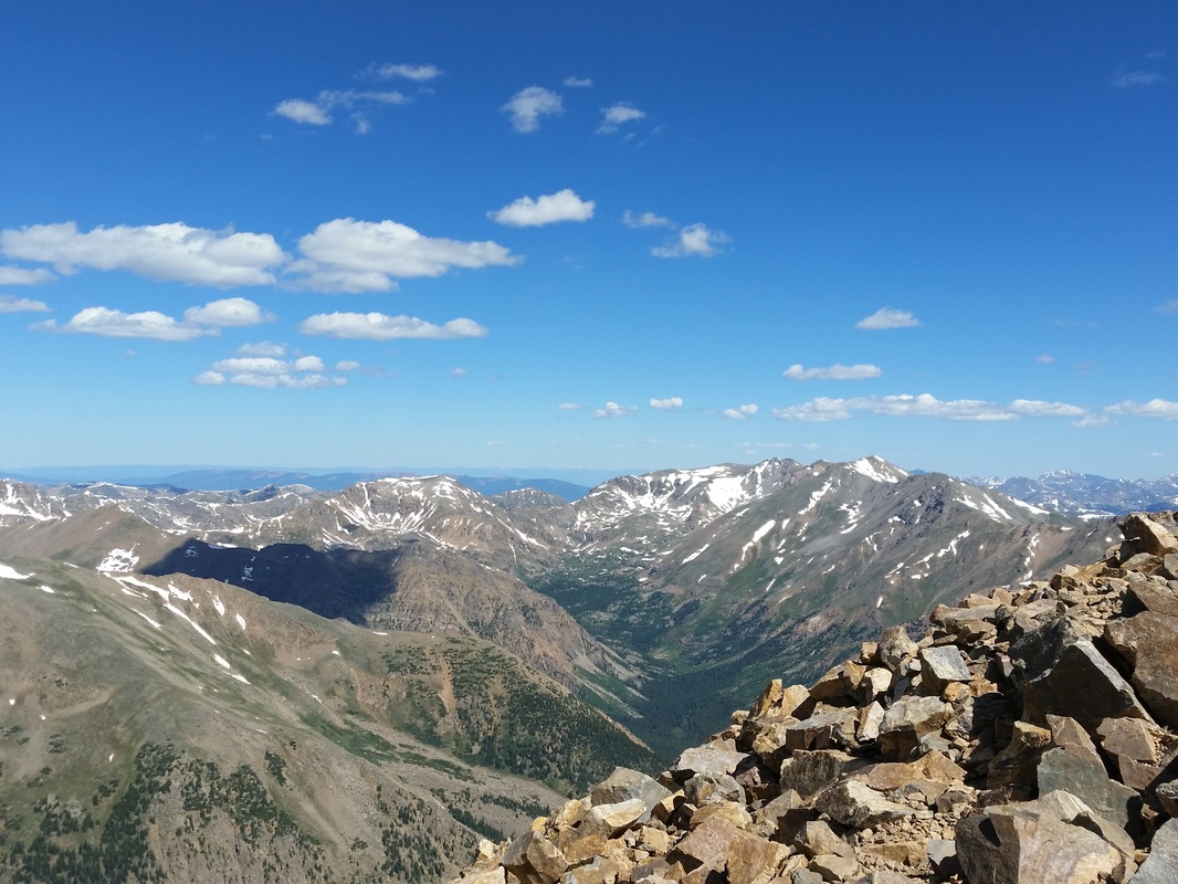
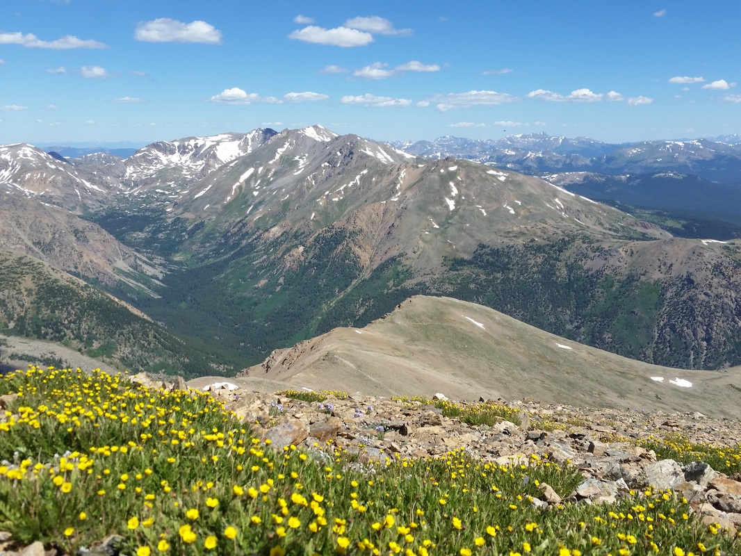
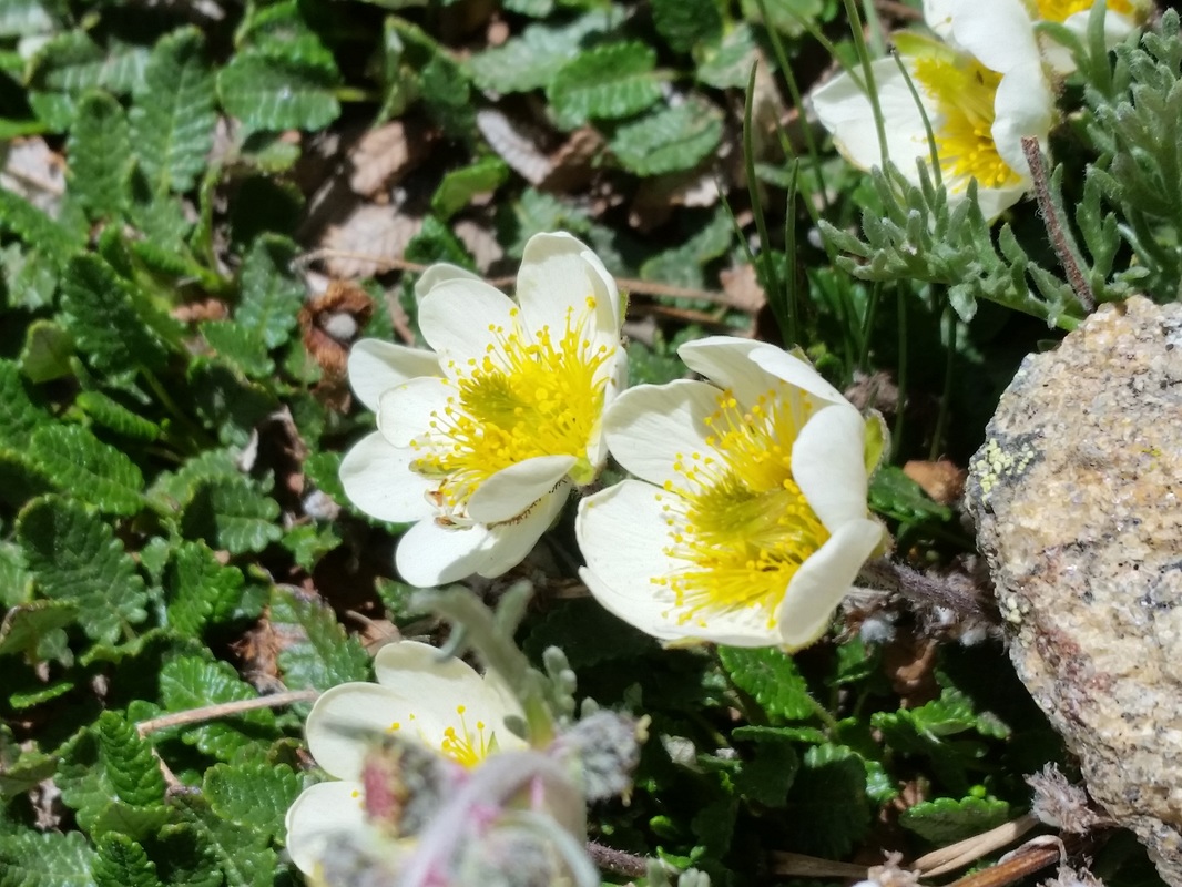
The First Big Trip, Our Honeymoon
September 12-18, 2015
After having taken our tiny camper for its maiden voyage, we were excited to take a big trip around Colorado for our honeymoon. So in the middle of September, we packed our bags and loaded up The Great Caper and headed southwest to our first destination, Hartsel. Tyler's aunt and uncle own 12 acres there, and we thought it would be a fine first stop.
The next morning, Sunday, we traveled onward to Salida, where we stayed in the beautiful Angel of Shavano Campground, shadowed by Mount Shavano, which we climbed the next day. The summit of Shavano is 14,229 feet and we could see Tabeguache in the distance. Typically, the two mountains are climbed together, but snow clouds started to roll in, so we made the descent. Naturally, as we started to descend, the weather cleared. Next time! After a 10-mile round-trip hike with a 4500 ft. elevation gain we were exhausted. We'd planned to stay there another day, but the campground was closing for the season the next day at noon. Completely spent from the long hike, we bumbled on over Monarch Pass towards Gunnison to Blue Mesa, a little over 2 hours away, where we stayed for the next two days at Elk Creek Campground.
On Wednesday morning, we continued west on Hwy 50 through Cimarron, Montrose, Delta and Cedaredge (where we found an excellent cidery-The Apple Shed-and sampled several amazing apple ciders, all made right here on the Western Slope of Colorado). After Cedaredge, we made the long and windy ascent up to Grand Mesa, one of our favorite stops on this trip. It's so high up, it creates its own weather, and the temperature dropped from 72F to 46F in less than half an hour. It was windy and foggy; really a magical place with the most stunning views I have ever seen (rivaled only by those atop Colorado's 14ers). We decided to make our home at Island Lake Campground for the night, had a quick lunch and proceeded to explore the tiny town of Grand Mesa, the many lakes of the area and a rickety back road, Forest Road 122, which got so rough at the end that we didn't get to finish the trek. I guess for now we won't know where she leads.
The next morning we descended the Mesa. The views from up there are incredible, stretching for hundreds of miles. It's definitely a place we'll return to, and a place I'd recommend people to go see. We headed towards I-70, slowly making our way towards home. By mid-afternoon we reached Rifle, and a little ways further, Rifle Gap State Park, where we'd spend our last night. A few minutes up the road is Rifle Falls State Park, where we took a short 2-mile hike past the incredible waterfalls and explored some of the nearby caverns and caves. After dinner that night, we settled down by the campfire, watched the stars and Milky Way above us, and reminisced about our trip.
On Friday morning, we packed everything up and hopped back on I-70 and shot homewards, through Glenwood Springs, then on US 9 through Frisco and Breckenridge, and back on our Hwy 285 towards home. By late afternoon, we pulled into the driveway, parked the camper and happily settled in for the night. My thoughts, though, are already on the next trip!
(Below is a slideshow and gallery of the journey. Please enjoy!)
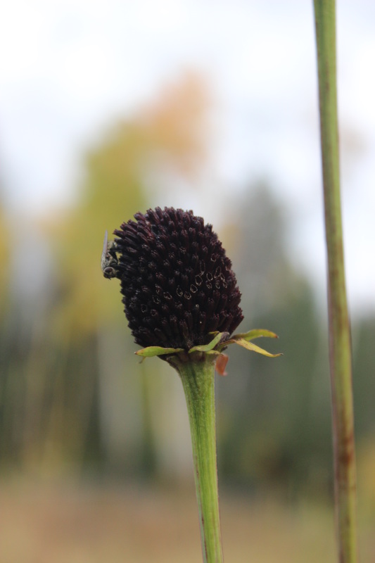
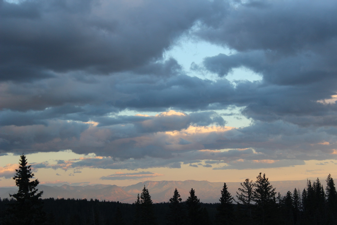
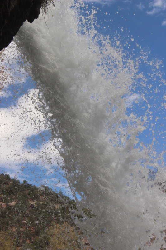
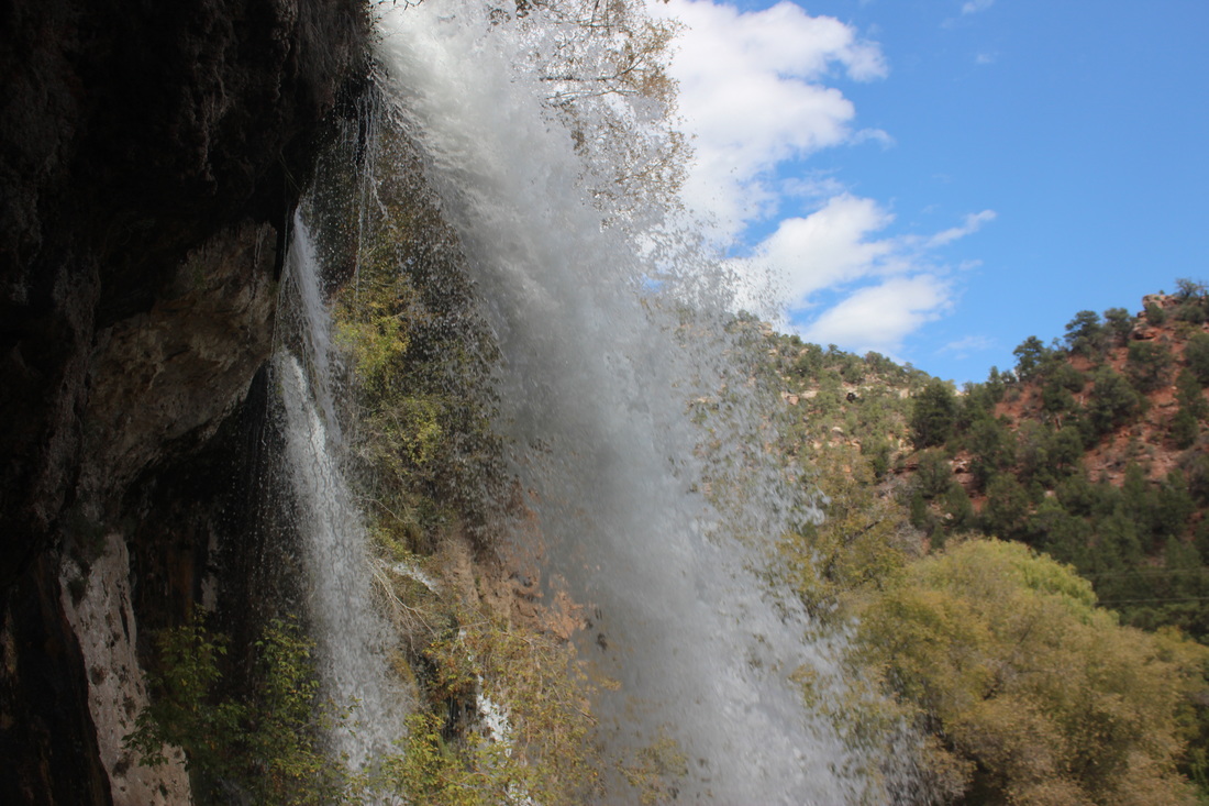
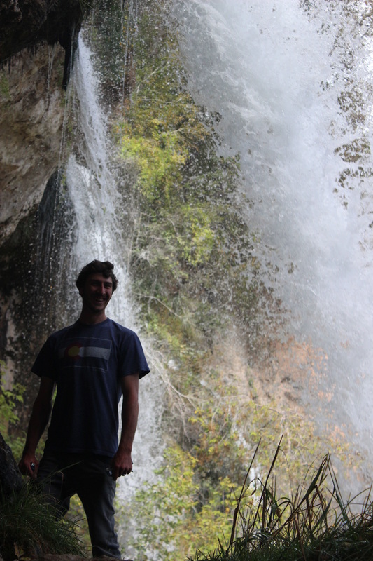
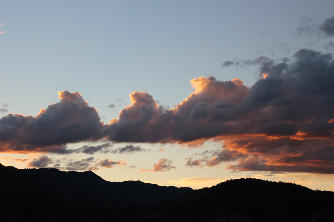
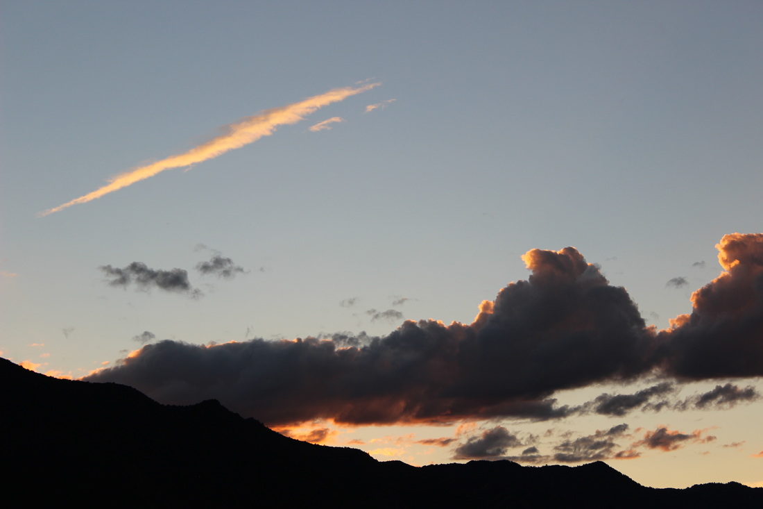
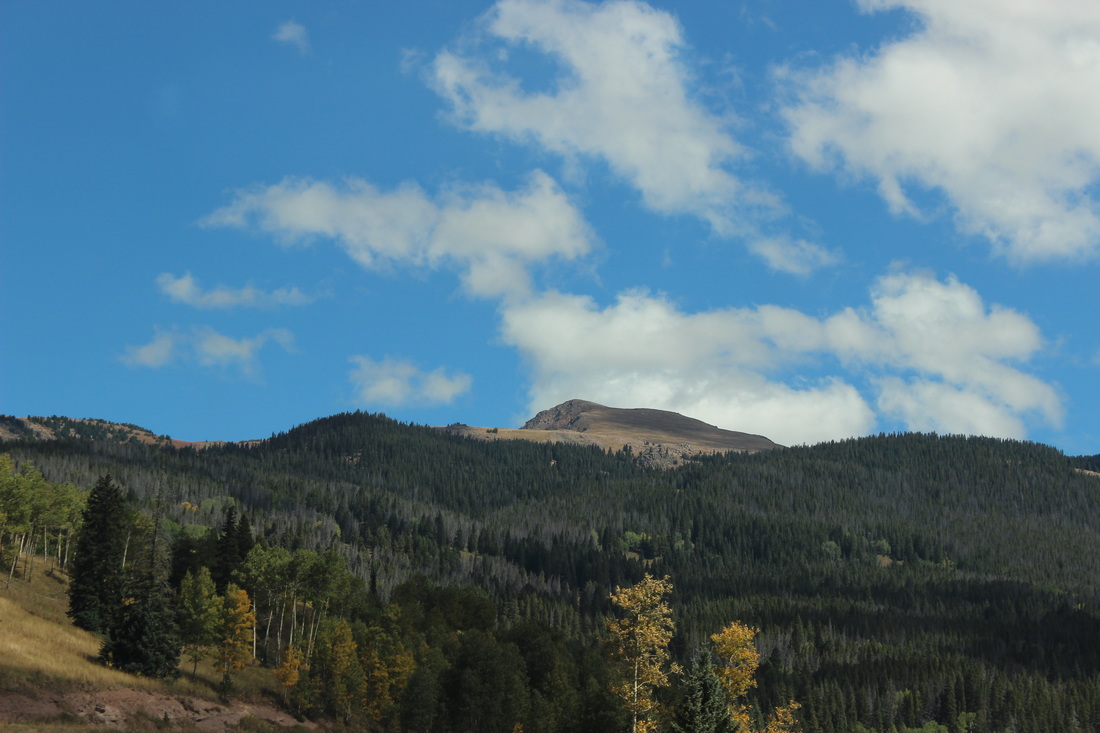
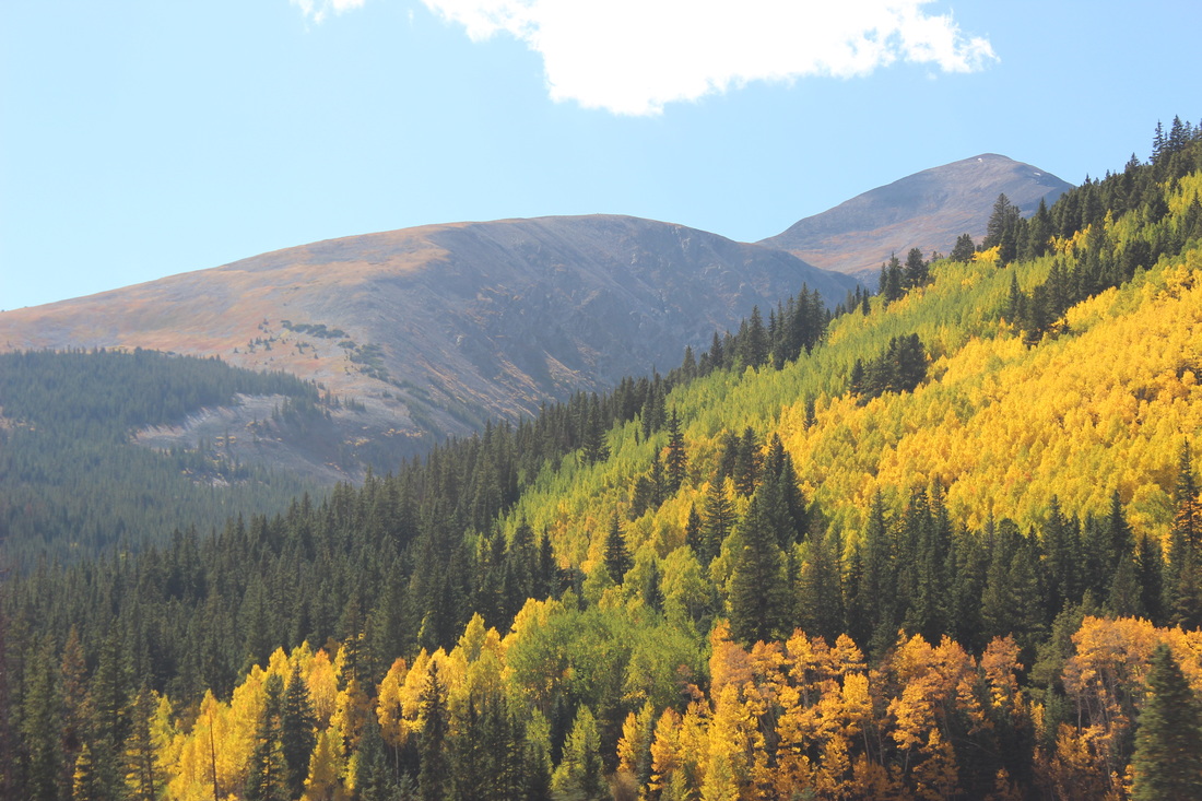
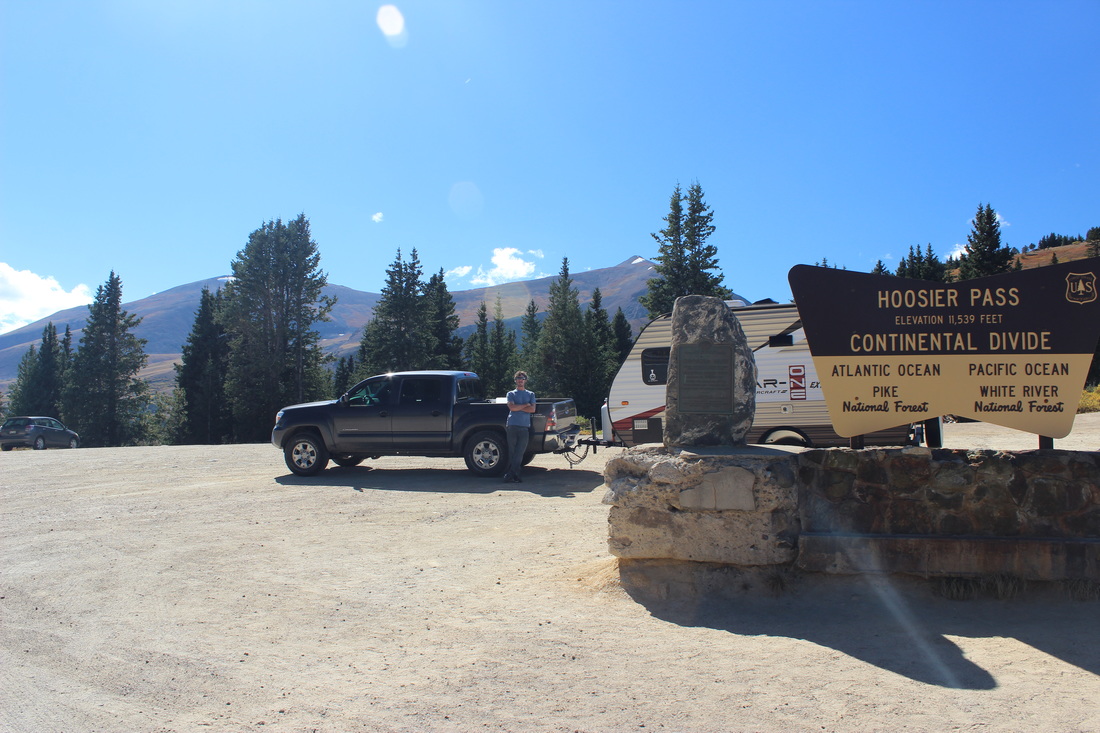
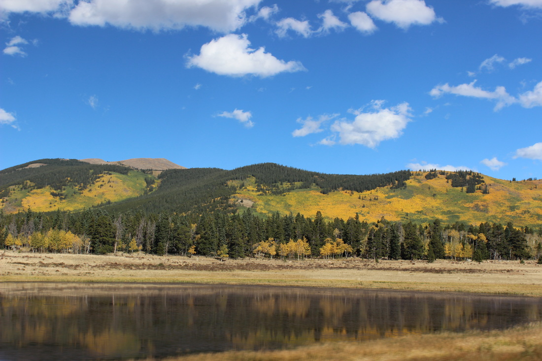
Another Adventure Begins: The Great Ca(m)per
August 29th-30th, 2015
For our wedding we wanted nothing more than our own tiny camper to explore Colorado (and eventually the U.S.) with. So with a lot of saving, looking and researching, and much help from friends and family, we were able to buy our own little, 17-foot StarCraft camper. Our first outing was this weekend right around the Buffalo Creek area down Highway 126. Friends of ours own a small cabin there, and we parked the camper beside the old barn and made ourselves a nice weekend, complete with a short hike along the Colorado Trail and a swim in the nearby creek.
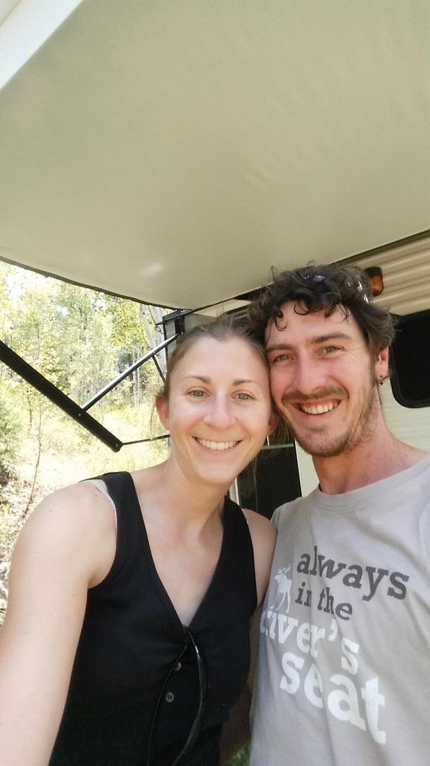
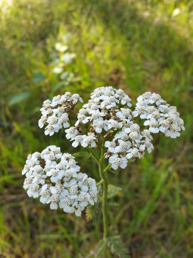
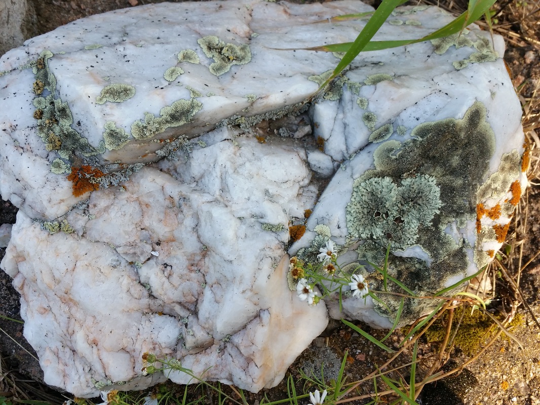
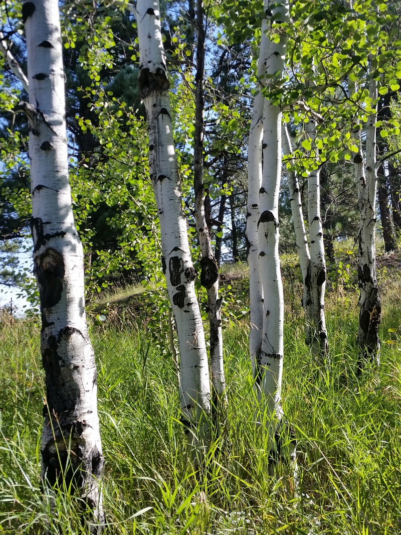
The Newest of News; We've Tied the Knot
On Sunday, August 2nd, 2015, Tyler and I finally got married. It was a beautiful ceremony, accompanied by the proverbial rain for good luck, and a ruby-throated hummingbird who sat atop our alter as we said our vows. We're both so excited to start this new journey together.
On Sunday, August 2nd, 2015, Tyler and I finally got married. It was a beautiful ceremony, accompanied by the proverbial rain for good luck, and a ruby-throated hummingbird who sat atop our alter as we said our vows. We're both so excited to start this new journey together.
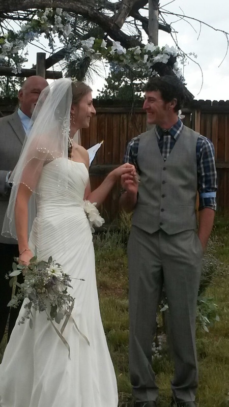
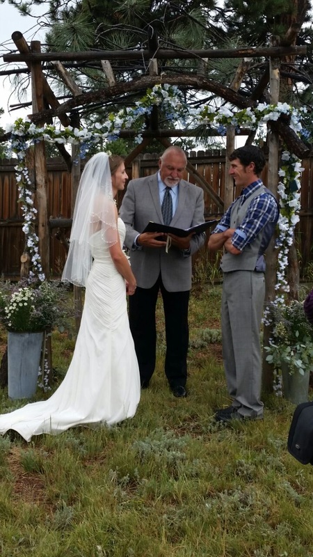
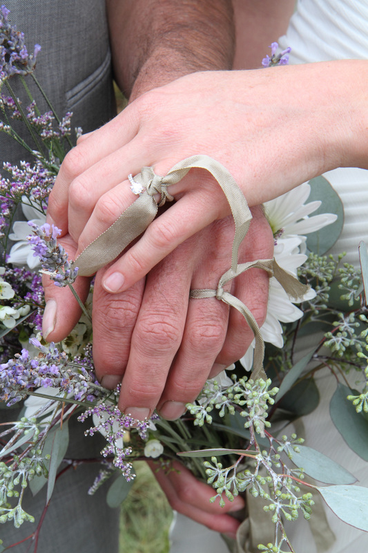
Mount Princeton, summited on the first day of summer, 2014
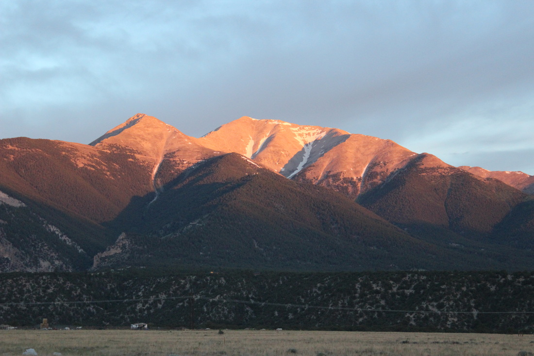
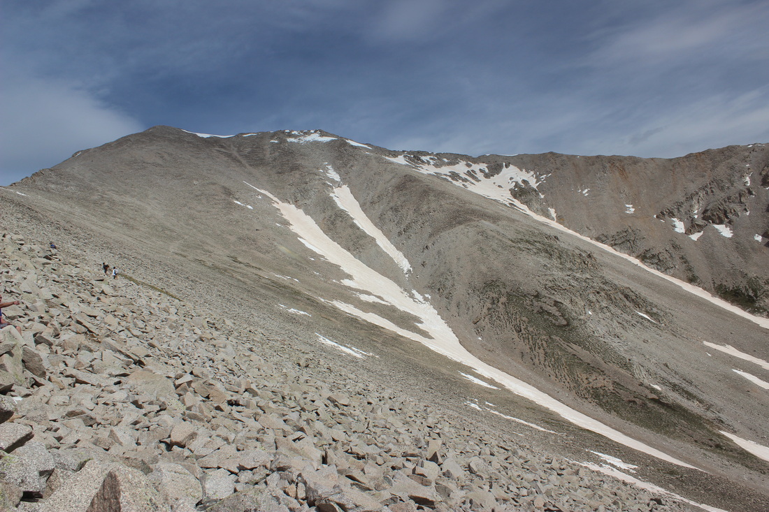
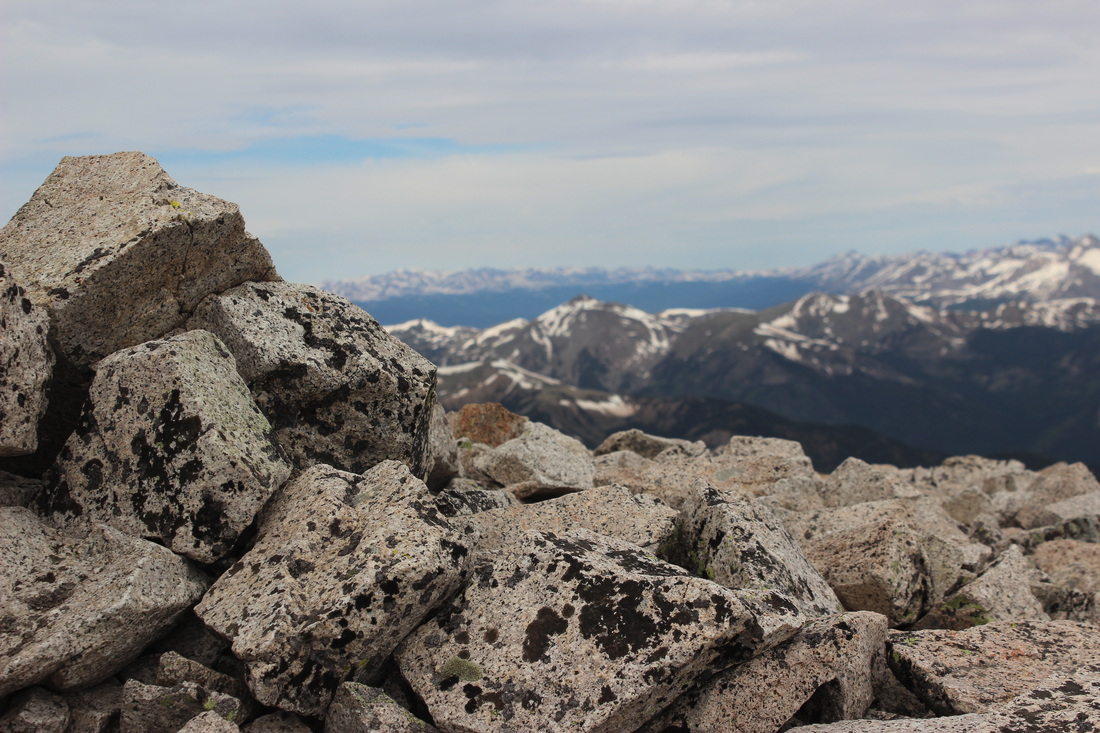
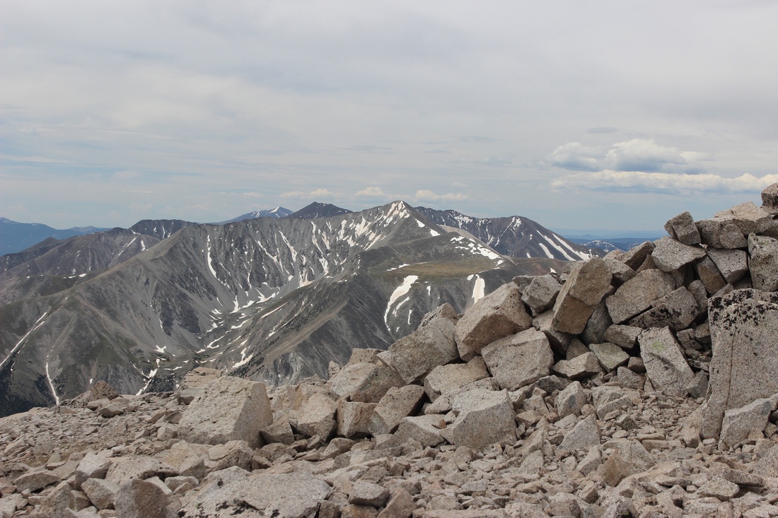
Feature Story in Colorado Serenity Magazine, April 2014:
Collegiate Jewel, Huron Peak
Collegiate Jewel: Huron Peak
By: Mira Paul
After one trip to Arizona, two to New Mexico, one to Germany and Hungary (with a 20-minute stop-over in Iceland), one to Connecticut, and one to New York City (all within five months), my fiancé and I were left with very little time to continue to explore our Colorado mountains last summer. It seems as though for the past six years that we were unable to get away to take a vacation, we made up for it last year, all at once. I have no complaints though. The mountains will always be there. On that note, we did manage to climb a jewel nestled in the far reaches of the Collegiate Peaks Range at the end of June 2013: Huron Peak.
Our days begin earlier and earlier the farther my fiancé and I get ourselves into the task of climbing all of Colorado’s fourteeners. That Sunday, we were on the road by 3:30 in the morning, making the long drive to Winfield, a small ghost town nestled two miles from the trailhead. Tyler took a two-hour snooze as I drove us south and watched the sun slowly come up. When we arrived at Winfield, we could either leave the truck parked off to the side of the road or continue on for another two miles on a very adventuresome 4-wheel-drive trail. I say “adventuresome” because I had stopped the truck in front of a four-foot deep mud pit we needed to cross. It was at this point that I asked Tyler to drive. I was certain that we would get bogged down in this mud hole. My hands are clammy even now as I write this. But Tyler got us through without a hitch, and we continued the slow and arduous two miles to the trailhead, crossing several creeks and climbing over large boulders which I would personally qualify as small mountains.
Eventually we reached a wide open meadow flanked by craggy mountains painted orange from the morning sunshine. By now, it was nearing seven am, and we barely managed to find a parking spot. I was amazed to see several small passenger cars parked here, and wondered how they had fared crossing the mud pit. I guess I’ll never know for sure.
With our packs strapped to our backs, we started the long climb upwards, winding through thick tree cover before emerging onto a mountain meadow ripe with the colors of spring. It took Tyler and me some time to get into a rhythm, as this was our first mountain of the season. But after a while we settled into a steady pace and made good headway. Another motivating factor was the swarm of belligerent mosquitos hounding us until we reached the higher end of the meadow, where the stiff breeze promptly blew the little buggers away.
We continued up the steep meadow until it leveled out onto a plateau dotted with three or four small lakes and ponds. A bubbling creek trickled out of a snowfield above us and ran sparkling into the valley below. The ground around us was covered in vibrant greens and brilliant new wildflowers. Calls from marmots and pika echoed off the cliff faces, making it impossible to tell where the little critters were sounding their alarm from. We took a short break to just soak in what we had missed so much over the winter.
Refueled, we started on the last leg of the climb. For the next quarter mile or so, the trail turned into a stair stepper, each rocky stair taking us a foot or more at a time higher. I can still feel my legs burning. We crossed several more creeks, and then the trail leveled out into switchbacks, which led us to the top of a windy ridge just below the summit. One of my favorite moments is coming up on a ridgeline; there is no more earth in front of you, and within seconds, the world drops away and you’re surrounded by nothing but air and space.
The summit was not far away now, and within a half hour we reached the apex of Huron Peak. Big sky engulfed us, towering peaks stretched away in all directions. One of these clusters of peaks was called the Three Apostles, and they were extraordinary. Patches of snow still clung to deep gullies, yet springtime insisted on making its mark on the dreary grays of winter past.
Huron Peak marked our fourteenth fourteener, topping out at 14,003 feet. This is by far one of my favorite mountains. You don’t hear of this peak very often; I’m guessing because it’s nestled quite a ways back in the Collegiate Peaks. The views are some of the most stunning that I’ve seen thus far. Or perhaps I’m just overcome with the joy of climbing again after a long winter, but this really is a remarkable peak.
Our time on the summit was limited. Storm clouds already began to gather in the distance and roll closer and closer to our little slice of heaven. So we found a little alcove behind some large boulders and ate our lunch there. Before we departed, we signed the roster. Within twenty minutes, we shouldered our packs and began our descent.
Once we left the ridge and hiked across the meadow, I decided to take a few moments to take some photos of the mountain flowers. I had, after all, lugged fifteen to twenty pounds of camera gear with me. Weight training, I kept telling myself.
When we reached the woods, it started to drizzle, and by the time we arrived at the truck, rain clouds obscured the nearby peaks. Perfect timing as we navigated the adventuresome trail back to the main road.
If you haven’t yet climbed Huron Peak, go do it! You won’t be disappointed. The hardest part about getting there is the 4-wheel-drive trail. The actual hike is only eight and a half miles round trip, with an elevation gain of 3200 feet. And a view that you have to see to believe!
Originally from Germany, Mira Paul has made her home in Colorado for the last 17 years. She spends countless hours exploring Colorado’s incredible outdoors, though you will most often find her on a ridge leading to the summit of one of Colorado’s 14ers, all 54 of which she and her fiancé would like to climb in the next few years. She narrates all of her adventures on her website, at www.mirapaul.weebly.com.
Meridian Trail, Bailey, CO 10/6/2013
A friend and I took a beautiful hike along the Meridian Trailhead in Bailey, CO today. We ran into a bull moose, along with a cow and her calf right off the bat. And the day was absolutely splendid! The colors were just a tiny bit past their prime, but still so beautiful. With the iconic Colorado blue sky in the background, it was a perfect day, and a perfect six-mile trek.
A friend and I took a beautiful hike along the Meridian Trailhead in Bailey, CO today. We ran into a bull moose, along with a cow and her calf right off the bat. And the day was absolutely splendid! The colors were just a tiny bit past their prime, but still so beautiful. With the iconic Colorado blue sky in the background, it was a perfect day, and a perfect six-mile trek.
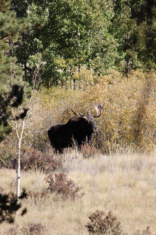
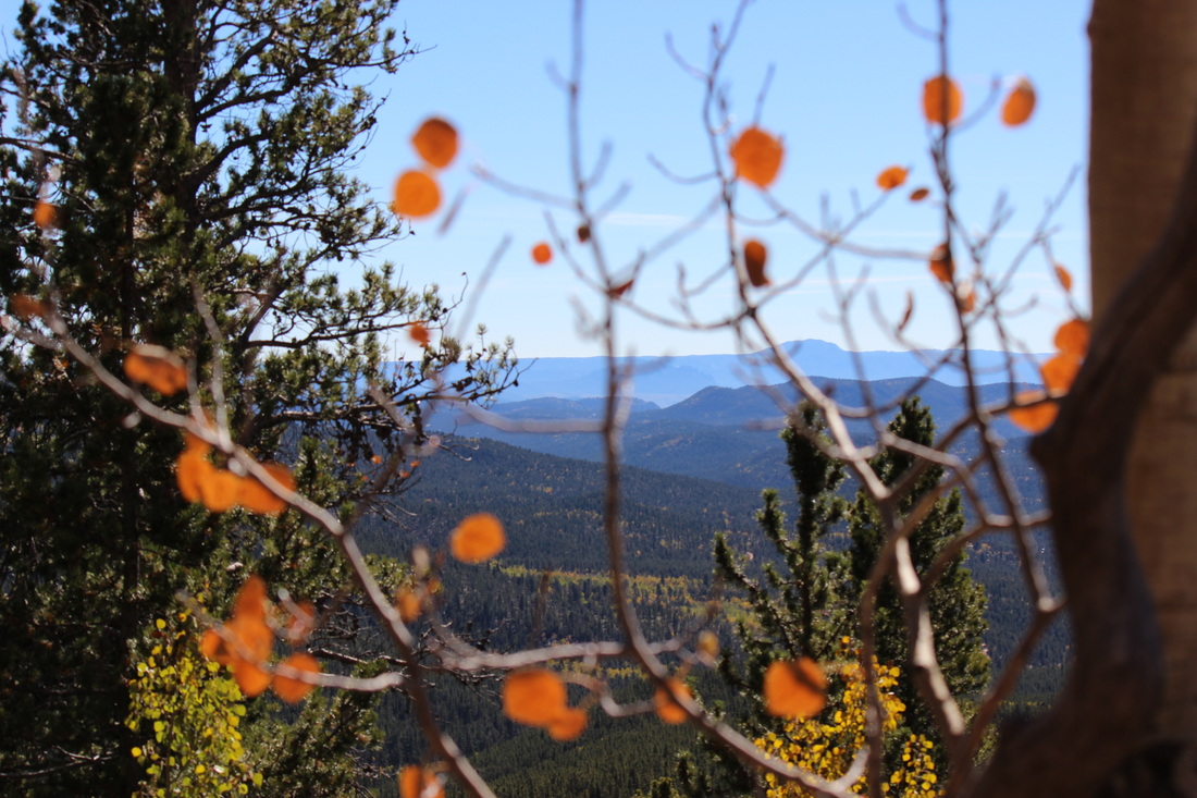
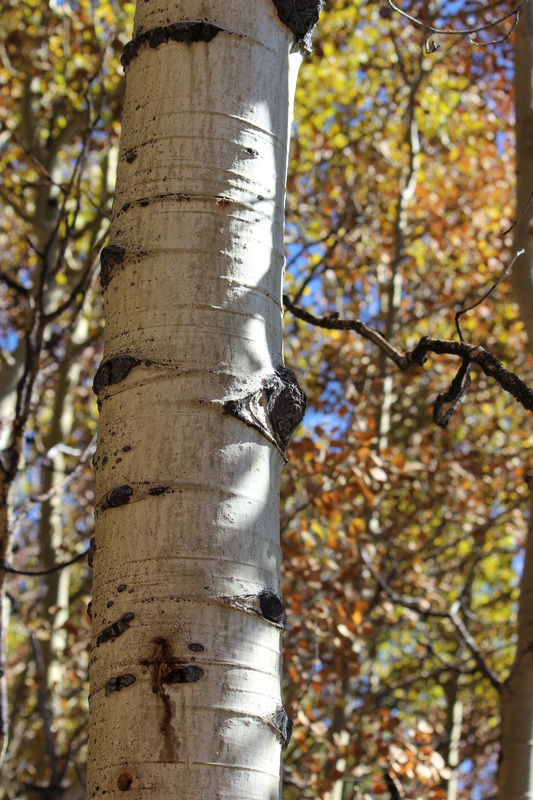
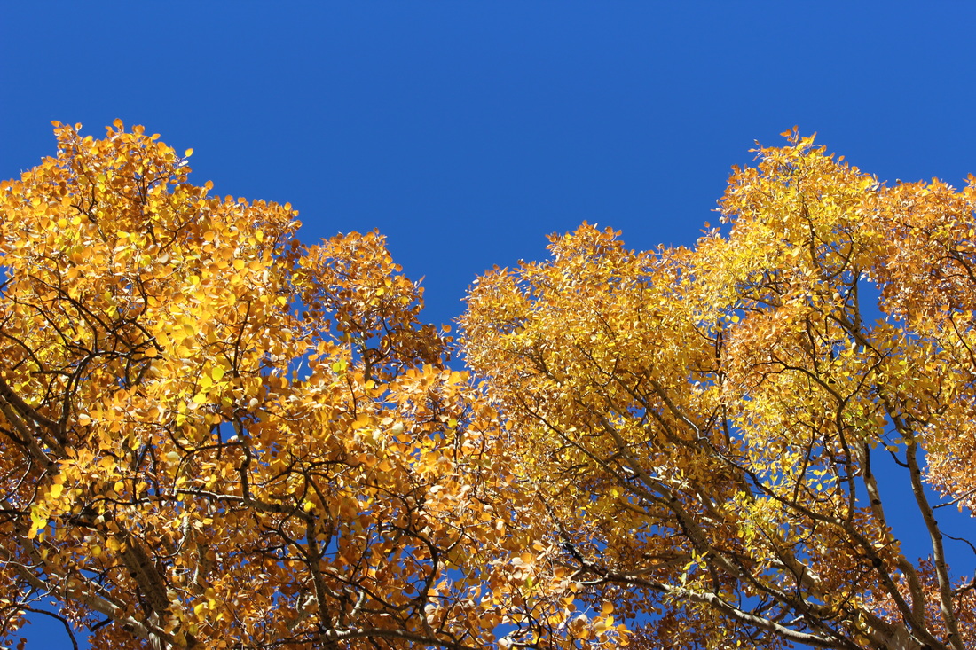
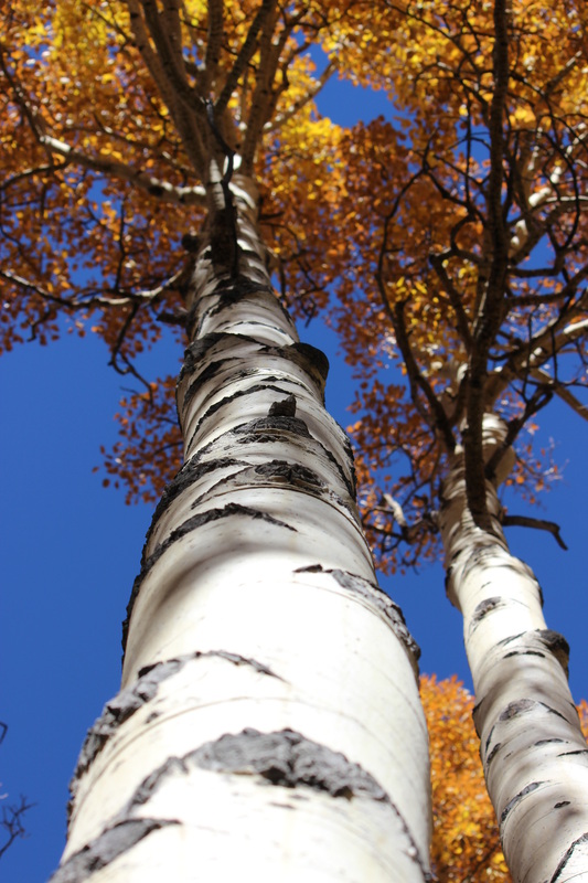
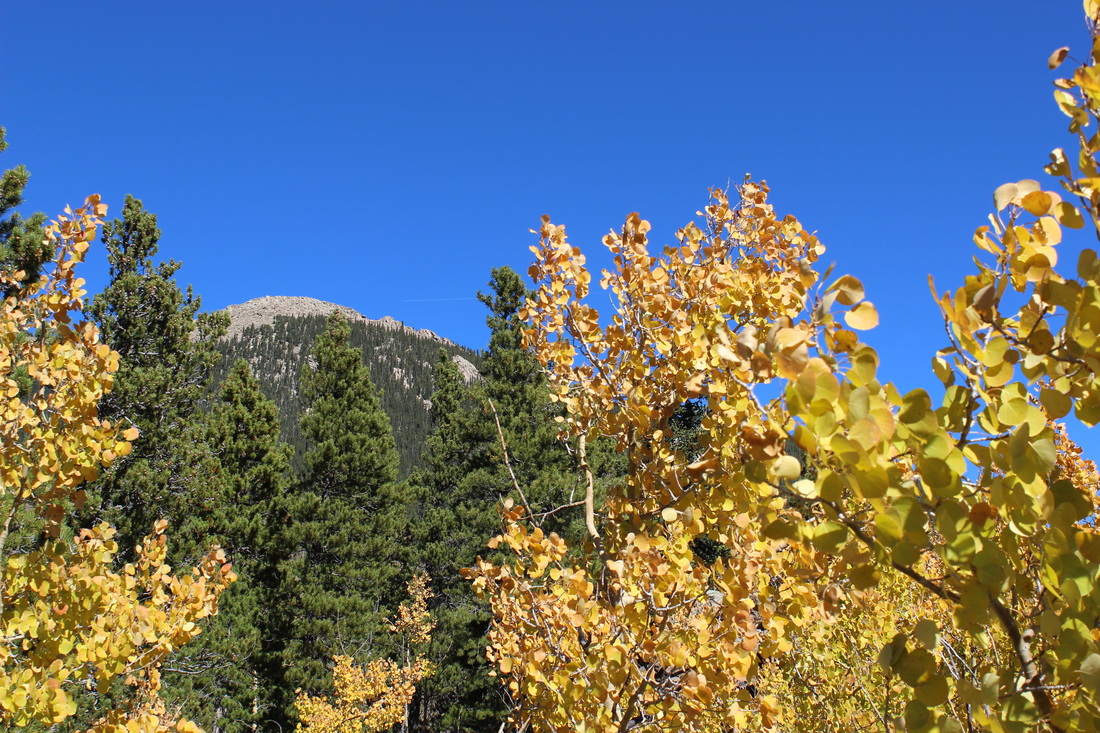
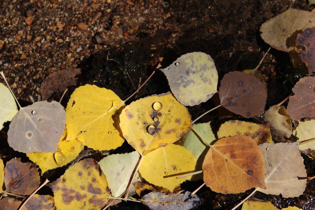
Staunton State Park, Pine, CO 8/18/2013
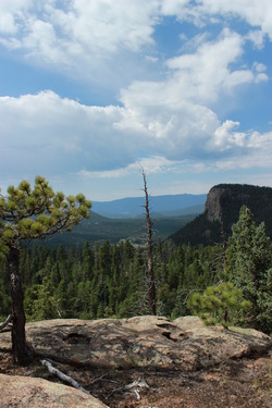
Hiked 8.5 of the nearly 15 miles of trail in Staunton State Park, just off Highway 285 near Pine Junction. What a little gem! There are so many trail loops and options for every level hiker. Access allows hikers, bikers and horses alike, all whilst winding through tranquil forests, rocky outcrops, past still ponds and gurgling streams. We were hoping to make it to Elk Falls today, but that trail is not yet open and still under construction. But we did make it to Elk Falls Pond, and are excited for the next trip to the falls. The views at the top Scout Line Trail (1.5 miles) were breathtaking. You could see past Lion's Head nearby, to Mount Logan and Rosalie Peak in spots.
A note to folks planning to go: the park opens at 8 am and closes at 9 pm. Entrance fee for the day is $7, though I believe you can purchase an annual pass which grants you access to all Colorado state parks for $70 per year. With such state treasures at our door step, that may not be a bad investment. Happy trails :)
A note to folks planning to go: the park opens at 8 am and closes at 9 pm. Entrance fee for the day is $7, though I believe you can purchase an annual pass which grants you access to all Colorado state parks for $70 per year. With such state treasures at our door step, that may not be a bad investment. Happy trails :)
Huron Peak, Buena Vista, 6/30/2013
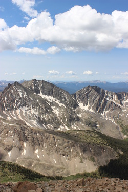
Looking towards the Three Apostles and Ice Mountain.
What a beautiful gem of a mountain nestled in the heart of the Sawatch Range. This hike proved to be one of the most scenic that I have done this far. Taking the spot of the 14th fourteener that we have done, this one topped out at 14,003 feet. After taking a very rough 4-wheel drive trail to the trailhead, we hiked about eight miles roundtrip, gaining 3200 feet of elevation, and taking us about six hours with a 20-minute break to soak up the views on the summit. By 10:40 am though, thick and dark clouds were already forming over the mountains, and we beat a hasty retreat down the side of the mountain. As luck would have it, the storms over Huron broke, and we were able to take our time hiking back to the truck, allowing me to stop along the way and take photos of the amazing mountains surrounding us, and of the wildflowers coming into their peak on the high mountain meadows. Marmot and pika calls echoed all about the basin below Huron's summit. What a paradise.
Back in the wooded slopes, some of the thunderstorms finally reached us, and we felt a few sprinkles of rain on the hike back, but nothing major. By 2 o'clock in the afternoon, we reached the truck, changed into our flip flops and bumbled back down the trail, crossing Clear Creek before we reached County Road 390.
This has definitely been one of my favorite climbs. The hike isn't very hard, and the views are breathtaking. The most challenging part is reaching the trailhead, but that also gives you a sense of solitude while hiking this diamond in the rough.
Grand Canyon, AZ 5/27/2013
It's the opposite of the mountains I usually climb, but a breathtaking wonder nonetheless. Standing on the rim of this amazing canyon really makes one consider his or her own life, and what is truly important. We are so small in this grand world, and should enjoy every natural wonder we come across, big or small. Enjoy!
The Mountains Are Calling: 14er Season is Near
Featured in the March 2013 Issue of Colorado Serenity Magazine
March is the month of the Spring Equinox, the beginning of daylight savings time, and warmer weather
outside our doorsteps, albeit for the occasional grumpy blizzard dumping several
unexpected feet of snow. However, if you’re like me, March is also the month
where I begin to contemplate the upcoming climbing season, daydreaming of high,
wind-whipped summits and Colorado skies enveloping me in 360 degrees of endless
blue. I’ve been lucky this winter, strapping my snowboard to my feet and weaving
my way in and out of trees along the bases and bowls of the mountain giants,
slumbering beneath the snow. But the summits still call to me, and I’m beginning
to stir in anticipation of the upcoming 2013 14er season.
As there is still time before the snow begins to melt off the high slopes, I like to think of March as
base camp. Now is the time to prepare, in body and mind; to rifle through last
year’s gear; and to daydream about the high peaks. I have a few guidelines that
I follow every year in preparation for the climbing season, and it hasn’t failed me yet.
Aside from snowboarding and hiking throughout the winter, I also keep in shape by doing yoga and weight
lifting, but now is the time to kick these activities into high gear. Ideally, I try to devote one hour every
day to physical exercise, in any way, shape or form. As some weeks are busier
than others, a good goal to aim for is four to six days a week. A daily routine
of vinyasa yoga is just the remedy for stiff knees and achy backs, and also
helps to provide muscle toning and stretching, as well as strength and balance,
all crucial when you’re teetering on a summit ridge being bested by 50-mile per
hour gusts of wind. Along with yoga I focus also on lifting weights and other exercises
to strengthen and tone muscles for the grueling miles and altitude gains to
come. Squats are great for the legs, old-fashioned crunches for the core, and
simple dumbbells toughen the arms, shoulders and back.
Lastly, cardio training plays a huge role in getting ready for the climbing season. Years ago, I would
run to get my dose of cardio, but after a knee injury I decided to find
something a little more low impact. Hence, I discovered mountain biking, which
is very gentle on the knees, lest you should crash of course, and great for
building endurance and strengthening your heart and lungs.
Aside from physical training, it’s also important to eat well and take care of what goes into your
body, not just in anticipation of the climbing season, but throughout the whole
year. Fruits and vegetables are hugely important, if only for keeping your
immune system strong. Think of it as preparing your immune system so that you
are vibrant and healthy and can spend as many days in the mountains as possible.
Whatever we may miss in our diets, we can easily supplement. A daily
multivitamin will do the trick, but I like to add Vitamin B for energy and
kick-starting your metabolism, as well as MSM to help keep your joints happy.
Next comes gear-checking. I have a closet in my hallway filled to the brim with hiking relics: poles and
packs, boots, jackets, polypro layers, hats, gloves and so on. March is a great
time to sift through the gear and make certain that everything is in top shape.
Nothing is worse than being on a summit ridge and discovering that the sole of
your favorite hiking boot is cracked. Or returning home and finding out that your sunscreen was expired.
Another plan I find helpful is to decide in which area you want to hike this year. Determine the route
needed to get there, how far the drive is, if overnight stays are required, and
what amenities are available in the area. Also, be sure to check the snow level
in the area. Many of the southwestern mountains have been dumped with snow this
winter, and at such high altitudes, the snow may not even be gone by June. I
discovered this very problem in June of 2011, when I had set out to climb
Democrat, Lincoln, Cameron, and Bross near Alma. Upon arrival, the road leading
to the trailhead was covered in drifts of snow four feet deep, adding an extra
mile and a half to the loop. The trailhead sign I found by happenstance, as it
barely stuck out three or four inches above the snow drift. It goes without
saying that the trail was still hidden beneath feet of snow, so I had to hike the trail mostly by memory.
This year, you’ll find me mostly in the Collegiate Peaks area, looking to climb the remainder of the peaks
there, aside from Oxford, Belford and Missouri, which we climbed at the end of
last summer. Also on the list are Long’s Peak, maybe Pike’s Peak, and definitely Mount Elbert.
I’m already dreaming of the mountains now, even whilst they are still swathed in thick blankets of snow.
But soon there will be crisp mornings beside trickling streams and swaying
willow thickets. Mountain flowers in high bloom. Mountain ridges bathed in the
alpenglow of sunrise. Deep, endless blue skies dotted with fair-weather cumulus
clouds. And finally, the summit, the crown of the mountain, lifting you towards
the heavens, as you brush your fingertips against the base of a wisp of cloud. Happy climbing!
Silver Dollar Lake, Guanella Pass, 10/20/12
No big mountains today, but Stacey and I did take a breathtaking hike up to Silver Dollar Lake, and then to Murray Lake one mile past. It was an amazing day: beautiful, blue Colorado skies above, with a few whisps of clouds interspersed throughout. Snow-flecked mountains surrounded us on every side, and the winds whipped down the exposed ridges of the Continental Divide to the bowl below. So strong was the wind that whitecaps stirred up the lakes' surfaces, and the water lapping at the shore began to freeze. High above us, on Whale Peak, a herd of 15 to 20 mountain goat grazed in the sunshine. The roundtrip hike took us about four hours and was roughly four miles long, but we added in lots of breaks to take pictures. Definitely a beautiful trail to come and explore, any time of year.
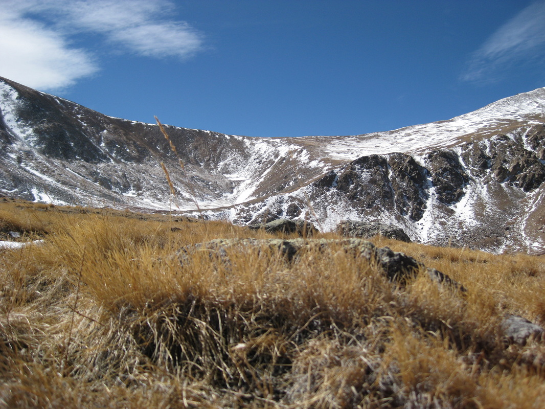
Missouri Mountain, Buena Vista, 9/20/12
Once more we found ourselves driving south. This time, the three of us (Tyler and me, and Tyler's mom, Cyndy) started our day very early, leaving our house at four in the morning. After a two hour drive, we ended up at the all-too-familiar Missouri Gulch Trailhead, where we had been only three weeks prior to climb Mounts Oxford and Belford. But today we had our sights set on the majestic Missouri Mountain, blanketed by a light dusting of snow, shimmering in the early morning sun.
By 6:30 am, with the sun painting the peaks red and gold, we had crossed Clear Creek and began ascending the series of "memorable" switchbacks, as the book rightfully calls them. The morning was beautiful and quiet, and as we swiveled through the golden aspen grove, a herd of mule deer darted across the trail just behind us. But soon we broke out of the trees and began our march through the marvelous Missouri Gulch Basin. At 11,650 feet, we arrived at a fork in the trail, but instead of going left up Mount Belford's shoulder, we took the right fork, leading us to the base of our next challenge. Just before we started to really gain some elevation, Cyndy, Tyler and I found a nice knoll on which to break for a snack. We noticed a huge herd of mountain goat on Peck's Peak in the distance. With our binoculars, we counted 25 mountain goat casually grazing on the sunny slopes.
Newly refueled with power bars and fruit snacks, we shouldered our packs and moved on. After several more creek crossings, we came to another sign, this one pointing us up the tundra slopes leading to a saddle on the ridge. The grassy slopes quickly gave way to talus and rocks, and the echoing calls of pika and marmot could be heard all along the mountain. Some of the critters were very friendly, coming right up to us when we would break for water.
By noon we had reached the ridge, and the 360-degree view that greeted us at the top was nothing short of stunning. The smokey haze that the weather stations had predicted had blown over, and you could see to the distant horizon without a problem. The sky was sapphire blue, and one or two fair-weather cumulus clouds floated amongst the blue abyss like little islands. All around us we could see countless other peaks, some 13ers, and several other 14ers, including Huron Peak, Mounts Harvard and Columbia, Mounts Princeton and Yale. It's so humbling to be among such giants.
After several minutes of being spellbound by the sights, we turned our attention to the ridge that would lead us to the summit. This part was way going, compared to the 4,500 feet we had just conquered. A few ups and downs later we came to a section that was a bit more challenging. We had to climb down a 10-foot cliff face, then scramble along an eroded and steep section of trail covered in slippery sand. To our left stretched more cliffs, and to the right, a one-thousand foot drop. No pressure. We shimmied along this section for a few minutes, then crawled up the last 20 yards of a steep slope, and, quite suddenly, we had arrived at the summit of Missouri Mountain, reaching 14,067 feet into the sky.
This was Cyndy's first 14er, and definitely not an easy one. But she was beyond excited to have made it to the top, and minutes of furious picture taking ensued. A couple from Virginia made it to the summit just a few minutes after we did, and we exchanged pleasantries and cameras for a short while before settling down to lunch. By this time it was almost 2 o'clock, so we were starving, and I swear I have never tasted such a delicious and simple sandwich.
As reluctant as we were to go, it was time. We still had a long way to go, and the afternoon was beginning to draw into evening. Yet we made quick work of the descent, and soon we arrived back in the shelter of the Missouri Gulch Basin. But the shadows from the nearby peaks stretched further and further as the sun dipped lower. We almost jogged to make it back to the car before dark. By 6:30 pm, 12 hours after we began our adventure, we arrived back at the trailhead, weary, tired and hungry, but completely elated at our success today. By the time we had loaded up the car, a sliver of moon grazed the golden aspens as we bumbled down the dirt road, heading home.
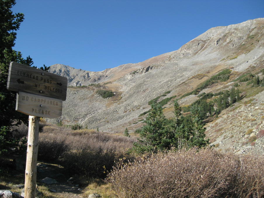
Mount Belford & Mount Oxford, Buena Vista, 9/2/12
Our ventures have started to take us southward. With all the 14ers in our area summited, we turn our attention to the Collegiate Peaks group right outside of Buena Vista. Today, we started with Mount Belford, 14,197 feet. After a two-hour jaunt down Highway 285 and a short skip along Highway 24 and another eight miles bumbling down County Road 390, we arrived at the Missouri Gulch Trailhead, which would lead us on our 11-mile adventure. At 6:20 am, our group, including myself and Tyler, as well as Tyler's brother Dylan and his girlfriend Rachel, headed up the steep trail. Before long, we passed treeline and headed up the shoulder leading to Belford. To our right stretched Elkhead Pass and Missouri Mountain's flat summit, an adventure for another day. By roughly 10:30 we summited Belford, Tyler and my 12th 14er, Dylan and Rachel's first. As always, the views took my breath away. I have thousands of photographs of mountains, but I never tire of looking at them.
After a short lunch of ham and cheese sandwiches and power bars, Tyler and I descended Belford's summit, dropping 700 feet to the ridge connecting Belford to Oxford. We made good time, and rapidly ascended Mount Oxford, topping out at 14,153 feet. But we only had time to sign the roster, as storm clouds were rapidly bubbling up in the distance, so we enjoyed the view for a minute and quickly started to head homeward.
Fickle as the weather is, as we neared Belford's summit for the second time, the clouds dispersed, but time was ticking into the afternoon hours, and more storms were looming in the distance, so we quickly descended to the valley below. We also had to catch up to Dylan and Rachel, as they felt one 14er was plenty and started descending on their own while we climbed Oxford. But we quickly caught up. As we neared the end of our journey, both Tyler and my left knees began to hurt terribly. But that's pretty normal, so we gritted our teeth and pushed on. We gimped back to the car, making it back by 3:30. But despite the struggle, we had a great time. The pain was definitely worth the view and the new experience, and we added two new 14ers to our list.
Overall, the hike was 11 miles long, taking us 9 hours to complete. We gained 4600 feet in elevation, lost and then regained another 700 feet. But the views were amazing! When you stand amongst these giants of mountains, you can't help but feel humbled. It was a priviledge climbing these two Collegiate Peaks summits.
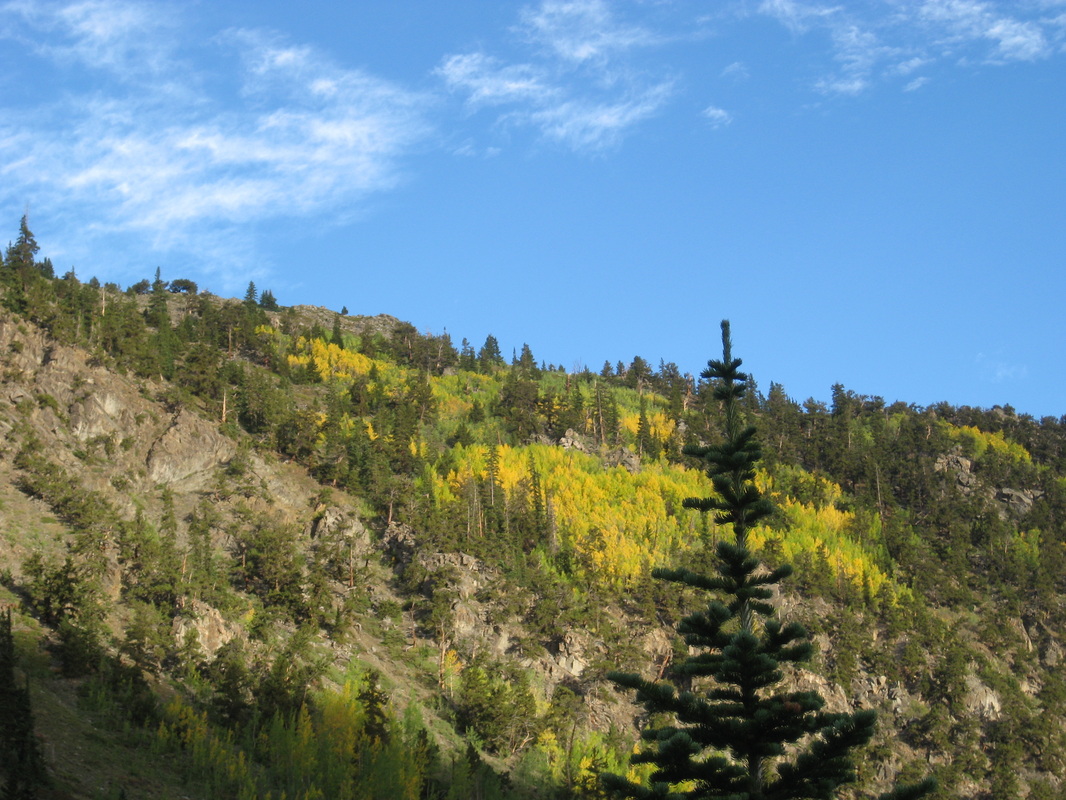
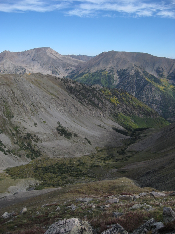
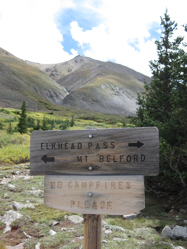
Gibson Lake Trailhead, Bailey, 8/2/12
What an adventure today! Headed out early to try and miss the storms, which we did. Our destination was the beautiful area around Gibson Lake, which is along the same direction as Red Cone and Webster's Pass. To get there, take Hall Valley Road, though I must warn you, this is not a road friendly towards low-clearance cars. Thank goodness for my friend's Jeep, as we had to crawl over several large boulders, cross a creek and splash through several good-sized puddles. Definitely had to hold on to the "oh shit handle" a few times. But it's all part of the adventure. We parked just a little past the Handcart Campground, then hiked an extra mile or so to the trailhead. And from there we went up, and up, and up some more. The area is absolutely beautiful, so do not forget your cameras. Lots of wildlife too. Though we didn't see any, I'm fairly certain the beaver ponds and willow thickets in the valley below harbor moose, while the high ridges and open alpine meadows play host to mountain goat and bighorn sheep. We were however greeted by ample rabbits, hares, marmots, the chirping of pikas, and a family of ptarmigan.
Unfortunately, we missed the left turn at a fork in the trail that leads you to Gibson Lake. Instead we went straight, continuing up to an old mining area covered in tailings, mine shafts and buildings, and old railroad tracks. It was a great little trip into the mining history of Colorado. Next time, now that we know, our destination is Gibson Lake. I would really recommend this hike for just about anyone. The uphill section is a little strenuous, but well worth once you see the views. All in all, the rountrip took us about five hours, but with lots of breaks for snapping photos. The overall mileage was roughly five miles.
Unfortunately, we missed the left turn at a fork in the trail that leads you to Gibson Lake. Instead we went straight, continuing up to an old mining area covered in tailings, mine shafts and buildings, and old railroad tracks. It was a great little trip into the mining history of Colorado. Next time, now that we know, our destination is Gibson Lake. I would really recommend this hike for just about anyone. The uphill section is a little strenuous, but well worth once you see the views. All in all, the rountrip took us about five hours, but with lots of breaks for snapping photos. The overall mileage was roughly five miles.
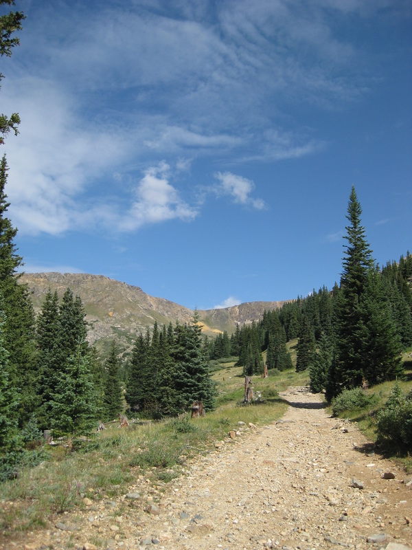
Just below treeline, heading towards the mining area.
Maxwell Falls, Evergreen, 7/20/12
Another day, another adventure! This time to beautiful Evergreen. We headed up Shadow Mountain Road today to the Maxwell Falls Trailhead. There are two of these along the road, Upper and Lower Maxwell Falls, so don't get confused. The trail overall was beautiful. We started with the Cliff Loop, which offers vistas of outcroppings and that stunning Colorado sky, such as the one below. The views and rock outcroppings are spectacular. Branching off from Cliff Loop is the trail leading down to Upper Maxwell Falls, from which you can continue on to Lower Maxwell Falls. I'm only explaining this in so much detail because the signage there is quite terrible, and we got turned around a few times before heading in the right direction. But the beauty of this trail makes up for the lack of proper signs. We came across several smaller falls before hiking back up the hillside and finding the main falls, which were truly amazing. As we haven't had much rain in the last few days, the water was a bit low, but I can only imagine what the falls must look like after a downpour. This is a perfect trail for summertime. Along the cliffs it is warm and sunny, but once you descend down to the creek it is cool and refreshing. A small gem nestled in Evergreen.
On a sidenote: As beautiful as this trail was, it was littered with trash and rubbish. We found orange peels snagged in the falls, soda cans, beer bottles, broken glass, wrappers and cigarette butts scattered along the trail. I urge anyone hiking in the area to take along a trash bag and pick up a handful, so we can get this area cleaned up and beautiful. If all of us help out a little, it is really a very simple task. Keep Colorado beautiful!
On a sidenote: As beautiful as this trail was, it was littered with trash and rubbish. We found orange peels snagged in the falls, soda cans, beer bottles, broken glass, wrappers and cigarette butts scattered along the trail. I urge anyone hiking in the area to take along a trash bag and pick up a handful, so we can get this area cleaned up and beautiful. If all of us help out a little, it is really a very simple task. Keep Colorado beautiful!
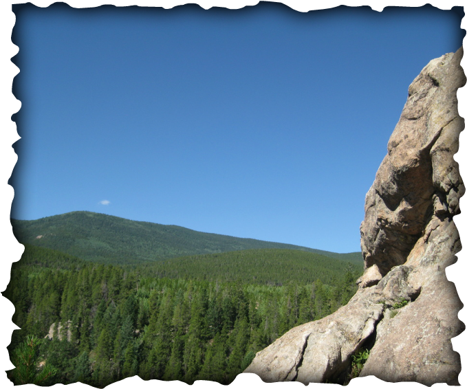
The end of Cliff Loop. Maxwell Falls are in the valley below.
Rocky Mountain National Park, 7/4/12
Happy 4th of July! Took a fabulous trip to Rocky Mountain National Park today, with the destination being the Calypso Cascades and Ouzel Falls. What a great trail, although by now I'm sure I sound biased, as I have yet to encounter a trail that I do not like. This one was truly remarkable. You start climbing up a steep trail through pine trees, then it levels out through the burn area and grants stunning views of the surrounding mountain vistas. As background noise, one can hear the array of waterfalls tumbling down the valley below. The last mile or so before you get to the actual falls goes steeply downhill. After four to five miles, we arrived at Calypso Cascades, an amazing waterfall spilling over enormous boulders and downed trees. After a short snack break, and ample picture taking, we hiked another mile further to Ouzel Falls. This is a very large waterfall tumbling down from the rocks above. We were able to get so close that we could feel the mist from the falls as it hit the rocks below. The trail continues further, but keeping in mind the long way home, we made our way back, although we did see numerous backcountry backpackers heavily laden for a trip lasting several days. Next time :) This is truly a breathtaking trail. For anyone coming, do not forget your camera, for the mountain views are heart-stopping, the waterfalls will take your breath away, and the wildlife and wildflowers are so abundant.
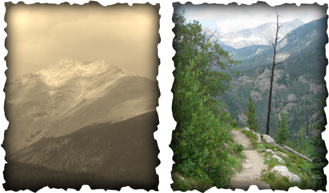
Meridian Trail, Bailey, 5/25/12
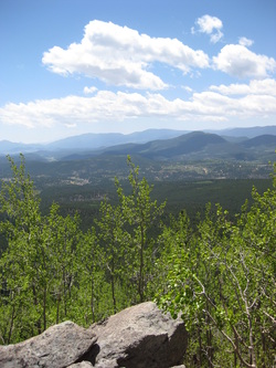
We took a gorgeous hike up Meridian Trail today. We started down by the creek, then followed the trail up, past several switchbacks, across another small creek, then through an enormous aspen grove. The trail continues on for quite a while and eventually leads up to the ridge near Rosedale Peak. This trail is to the east of Tanglewood Trail, which we hiked last week. The area is absolutely breathtaking, and it's a trail that has something for everyone. If you want your exercise, it's steep in the beginning, but then levels out (but keeps climbing slightly) up to the ridge. For those who want views, keep hiking at least until you reach the aspen grove. It's interspersed with a few open meadows and rock outcroppings that give you a view towards Pikes Peak like the picture at the left. You can hike for as short or as long as you like; the trails all connect to each other and take you through woods and valleys, past creeks and lakes, up sheer ridges and imposing mountains. We told ourselves that we have to come back in the fall; it would be so beautiful to walk through the golden aspens with the blue Colorado sky above. Come and check out this great trail!
Tanglewood Trail, Bailey, 5/17/12
We headed up Tanglewood Trail to the ridge leading to Mount Rosalie today. It's a wonderful hike that I recommend to anyone who loves a hike through the woods, with rewarding views of Mount Evans, Mount Rosalie and Rosedale Peak. From there, the trail leads up to Rosalie or down to Roosevelt and Bear Track Lakes, so there is plenty of opportunity for the avid explorer. Go early though, because the weather can be very fickle up here. As we crested the ridge, we took some time to take in the views, then decided on having lunch amongst the bristlecone pines a bit lower down. But Mother Nature made alternate lunch plans for us, as within five minutes a freak snow squall bore down on Mount Rosalie, obscuring the summit in fog and snow, sending us running for the safety and cover of the trees. Naturally, as soon as we made treeline, the weather cleared and the ridge was once again engulfed in bright blue sky.
On another note, the recent heavy winds that we had over the winter brought down copious amounts of trees, so much so that the trail within the trees was oftentimes hidden by fallen logs and branches. Go slow and watch carefully for trail markers, as it is easy to get disoriented.
On another note, the recent heavy winds that we had over the winter brought down copious amounts of trees, so much so that the trail within the trees was oftentimes hidden by fallen logs and branches. Go slow and watch carefully for trail markers, as it is easy to get disoriented.
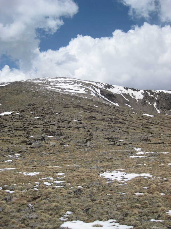
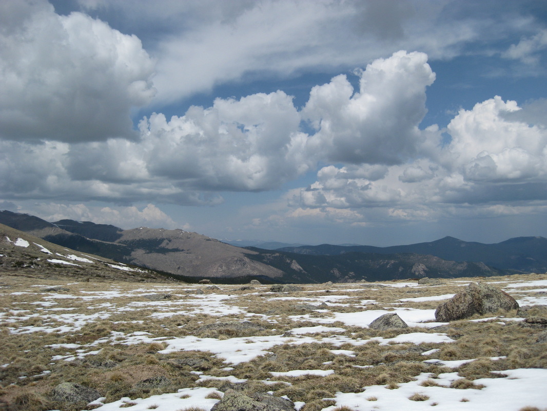
Spring Has Finally Arrived
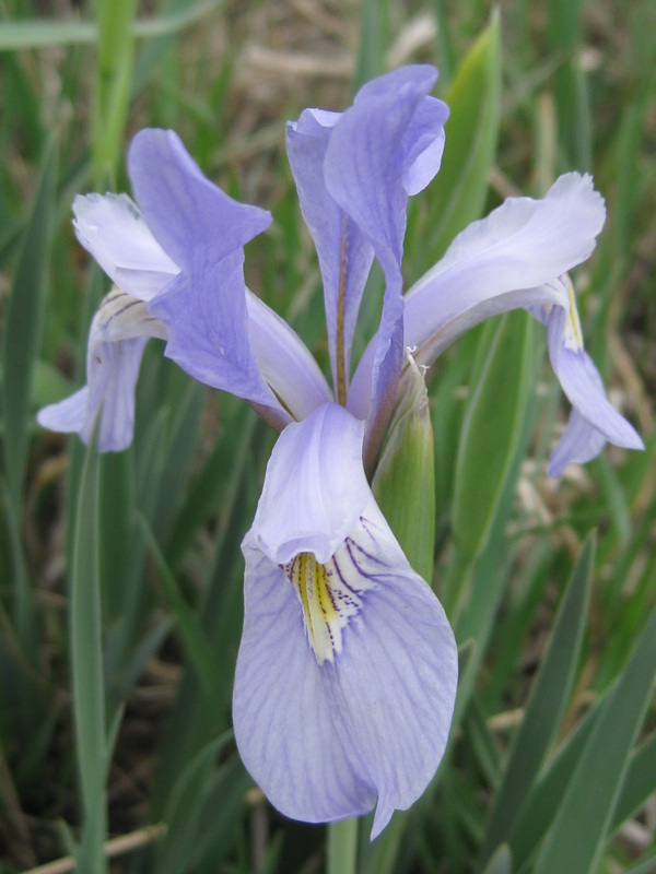
Springtime in Colorado is finally here. We've had gorgeous weather the last few weeks, and flowers are popping up everywhere. The aspens are green and quivering in the breezes, and green shoots of grass are stretching toward that blue Colorado sky. The mountain peaks are shedding their winter snow cover like down blankets, as if they're finally awakening from their winter slumber. There isn't a thing that I dislike about this state!
February 2012 Snowstorm
After 36 hours of heavy snowfall and blizzard winds, the storm slowly moved eastward. But it left behind a beautiful winter wonderland, blanketed by over 2 feet of fresh snow. By a nearly full moon, the snow shimmered in the moonlight as the temperature slipped down to 2 degrees F. The next morning, icicles glittered in the bright sun, backlit by that amazingly blue Colorado sky. And as the sun set, casting its pale orange glow on the icicles once more, I couldn't resist taking just a handful more pictures.
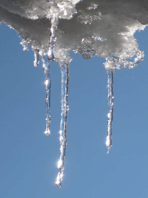
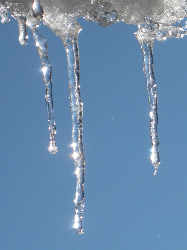
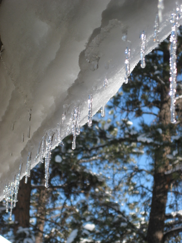
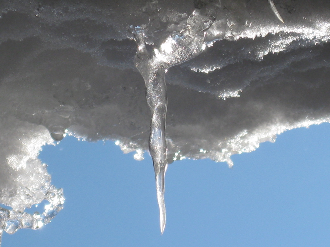
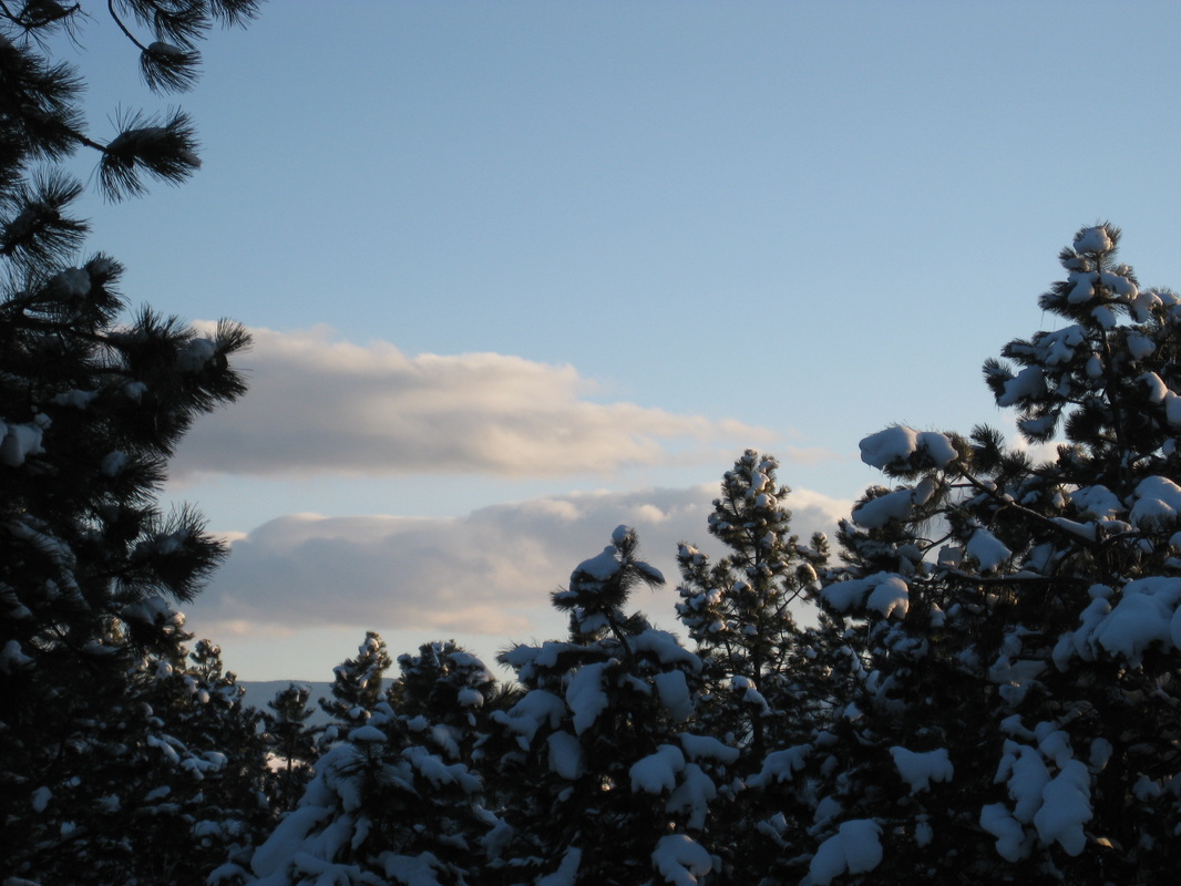
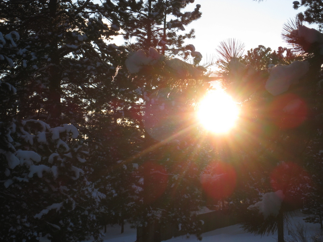
December Crescent Moon
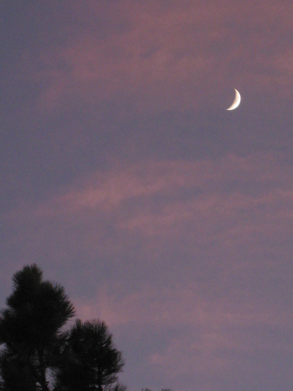
A crescent moon two days before December comes rolling into Colorado. The moon was flanked by a few delicate, wispy pink clouds as the sun set that evening.
November Sunset
The month of November is making a magnificent exit with this spectacular sunset. For 15 minutes I watched the sky go from gray-blue to a breathtaking fiery crescendo, before quickly descending into darkness. In no other places have I seen such dramatic sunsets and sunrises as I have here in Colorado.
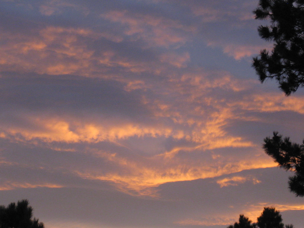
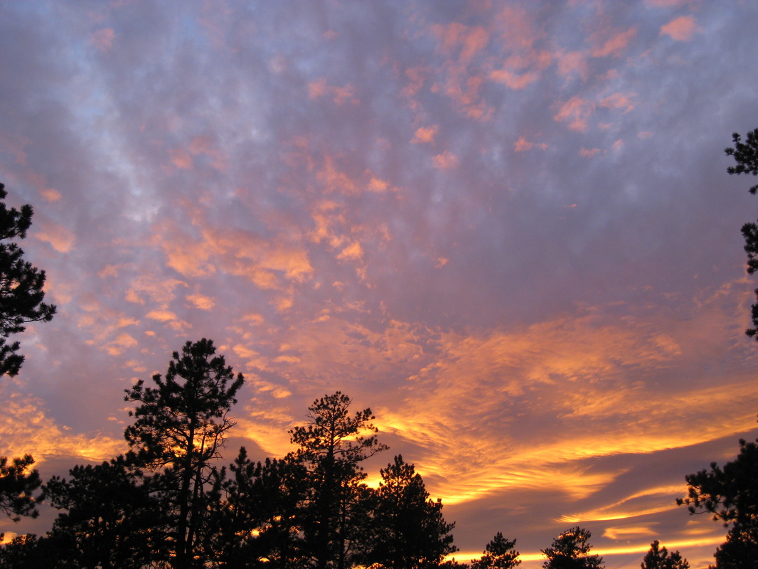
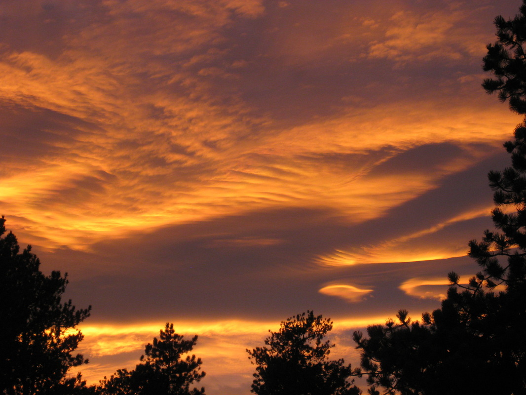
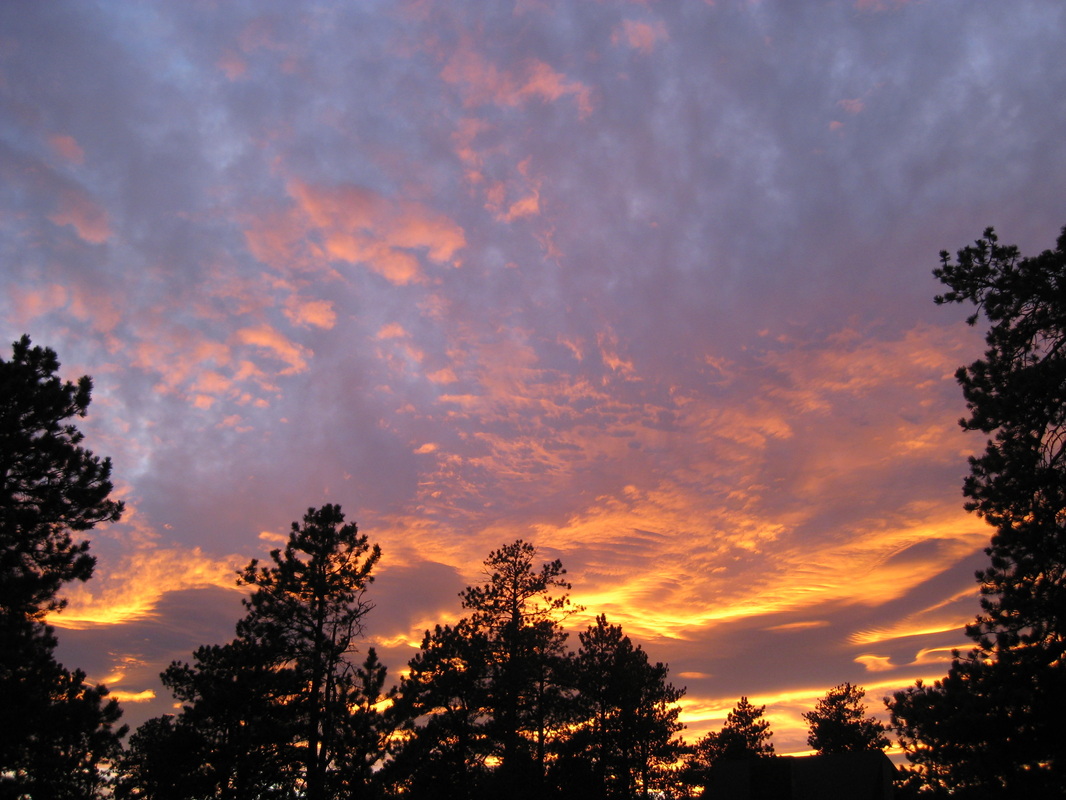
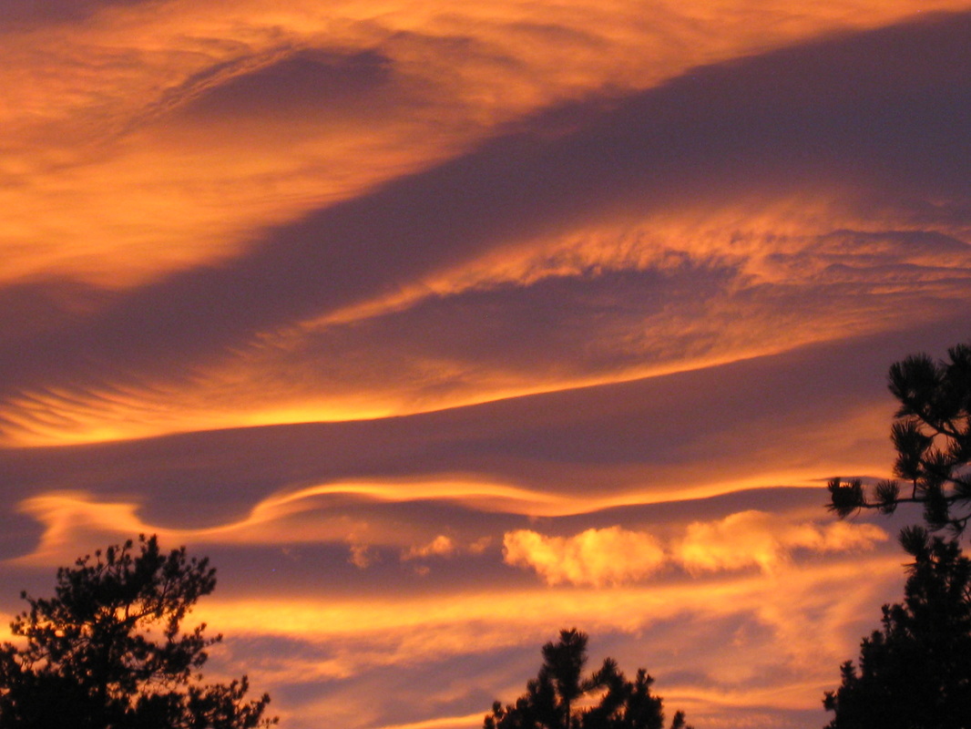
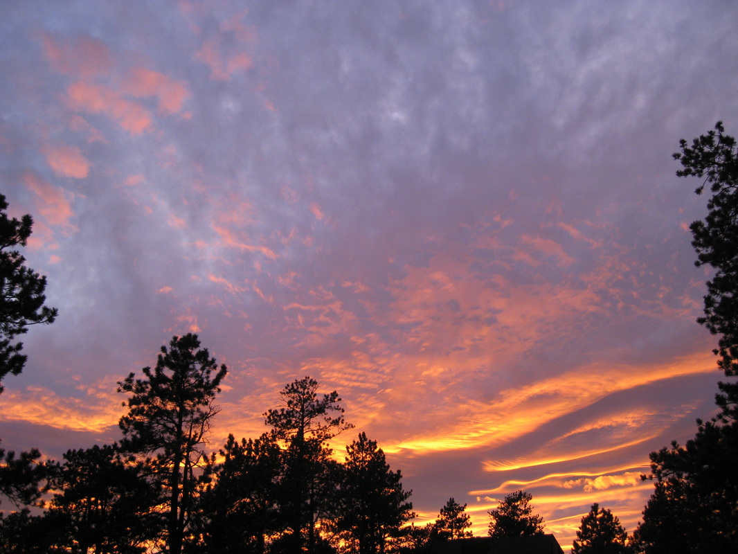
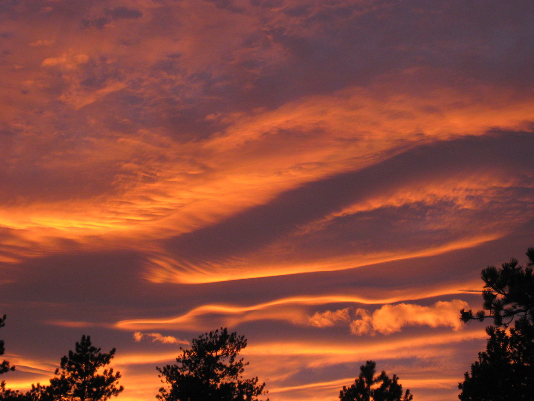
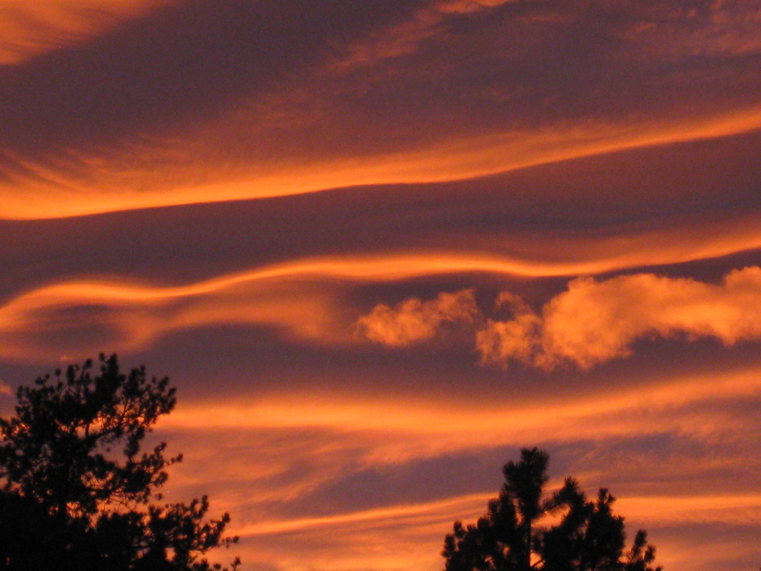
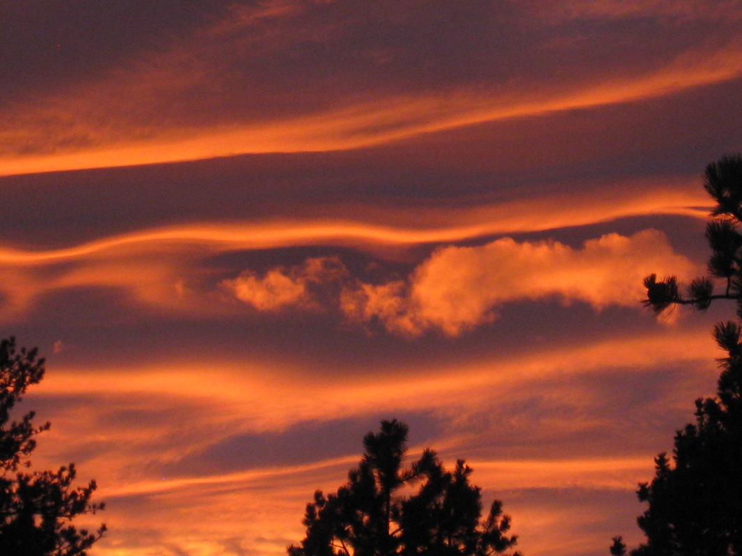
2011 Climbing Season
Foreword
Officially I started to climb fourteeners last year, having climbed Democrat, Lincoln, Cameron, Grays and
Torreys. Unfortunately I never kept track of the stories and the photographs. So
I’m starting over this summer. I’d like to one day say that I’ve climbed all of
Colorado’s 54 fourteeners (58 if you count the unofficial ones, which I do).
Here I go, one step at a time.
Mount Evans
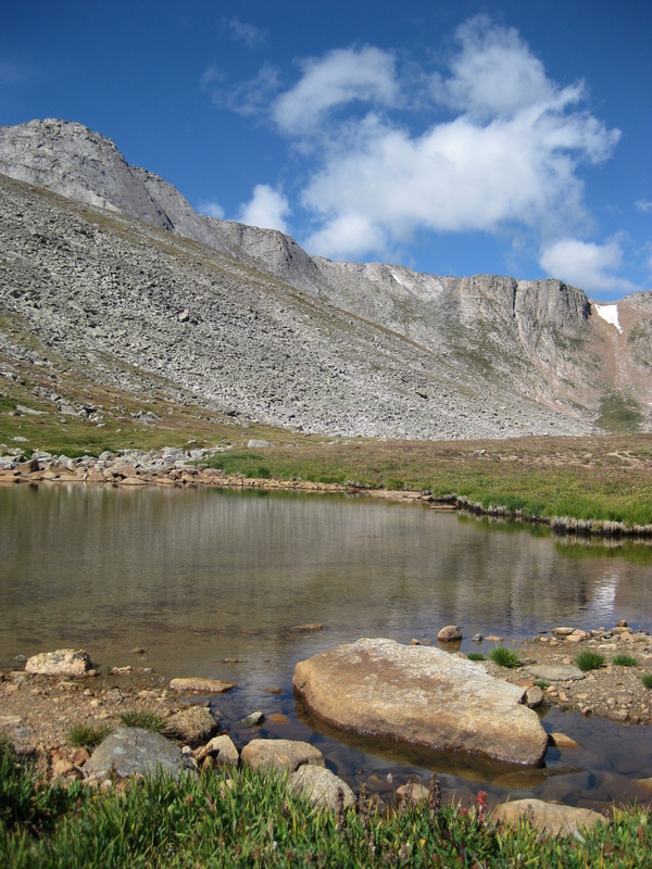
Looking towards Evans summit ridge.
Mount Evans
At four am my alarm went off and I stumbled out of bed to the
coffee pot. Tyler was still asleep, and I granted him another half hour. A
little after five am we left our house and drove the one and a half hours to
the Summit Lake Trailhead at the base of Mount Evans. We parked and locked the
car, swung on our packs and headed down the trail. It looped around the lake,
climbing gently. The rising sun granted us lots of great picture opportunities,
gilding the adjacent mountains in red and gold. It was the end of August and a
cool fall crispness could be felt in the air, reminding us that our climbing
season was slowly drawing to a close.
Slowly, the trail began to get steeper, and eventually Tyler and
I had to scramble and climb over several large boulders. Both of us were
struggling this morning. Neither of us could find a good rhythm. I hadn’t worked
out in the last two weeks and had been so stressed with college and losing my
job. But that’s why I wanted to do this climb today: to relax and go to my happy
place. Regardless of our less than perfect struggle up the ridge, we pushed on,
breaking often and drinking lots of water…and taking endless pictures (always a
good excuse to stop).
Finally we reached the saddle between Mount Evans and the
Sawtooth Ridge, connecting Mount Bierstadt to Mount Evans. Again it was there
and again it was taunting me. But not today…especially not today. We could see
little tiny people up on Bierstadt already, and so we continued on. This part
of the trail was my favorite; it casually meandered between boulders through a
bright green meadow. Small hollows in the boulders were filled with crystal
clear and ice cold rainwater from the storm the night before. Not a breath of
wind blew on this side of the ridge.
Before long we reached the base of the ridge that would lead us
around the base of Mount Evans and then finally to the summit. Below us we could
see Abyss Lake and Bierstadt towering beyond (although Bierstadt is not as tall
as Evans). Suddenly we rounded a corner and were blasted with icy wind streaming
up from the valley below. I followed the cairns with my eyes and saw that the
trail stayed in the shadow of the summit for some time. So we stopped again and
dressed up: hats, jackets and gloves. Well, mainly for me; Tyler is remarkably
good at regulating his own temperature. I often joke that climbing a 14er is
like doing a fashion show: you climb the runway for a while, then stop and break
out the next outfit.
After this last change of clothes, Tyler and I finally found our
rhythm and we started making good time. The trail was not crowded, and within
twenty minutes we reached the summit, a healthy 14,264 feet. I must say, that
view never gets old. I have seen it ten times now, but it still takes my breath
away. I was surrounded by a complete panoramic expanse of Colorado’s peaks, from
the littlest to the tallest, and every valley, forest and meadow in between.
This was exactly what I needed after such a stressful week: my happy
place!
We quickly signed in to the roster, spoke to a couple who wanted
to descend the Sawtooth and do Bierstadt today as well, wished them good luck
and settled in a wind break to eat our lunch. It was nine o’clock in the
morning.
The road up to Mount Evans is paved all the way to the top, and
is the highest paved road in North America. As we sat there, we could look out
over the road and parking lot a small way below us. Although I enjoyed this hike
tremendously, it took the wind out of my sails just a bit seeing people pull up
their cars and walk to the summit with their flip-flop shoes and a Starbucks
held In one hand. Climbing a 14er should be a challenging physical, mental and
emotional task, not a walk in the park. However, I would not deny anyone the
stunning view from the top, whether you hiked up here or drove your
car.
After thirty minutes of rest and enjoying the view, we packed up
and descended. We decided not to go back the way we had come, and instead headed
down the northeast face. Partway down, Tyler’s knee began to bother him and we
slowed a little. He had twisted it earlier this week at a job sight, but didn’t
think anything of it since it hadn’t pained him until coming down. But
eventually we reached the road and almost instantaneously the going became
easier for him. We stopped a few more times to snap some pictures, one of which
was a marmot and her little one. By the time we reached the parking lot at
Summit Lake it was jammed full of people. We tossed our packs in the car,
changed into our flip-flops for the ride home, and left a prime parking spot for
the next lucky adventurer.
Quandary Peak
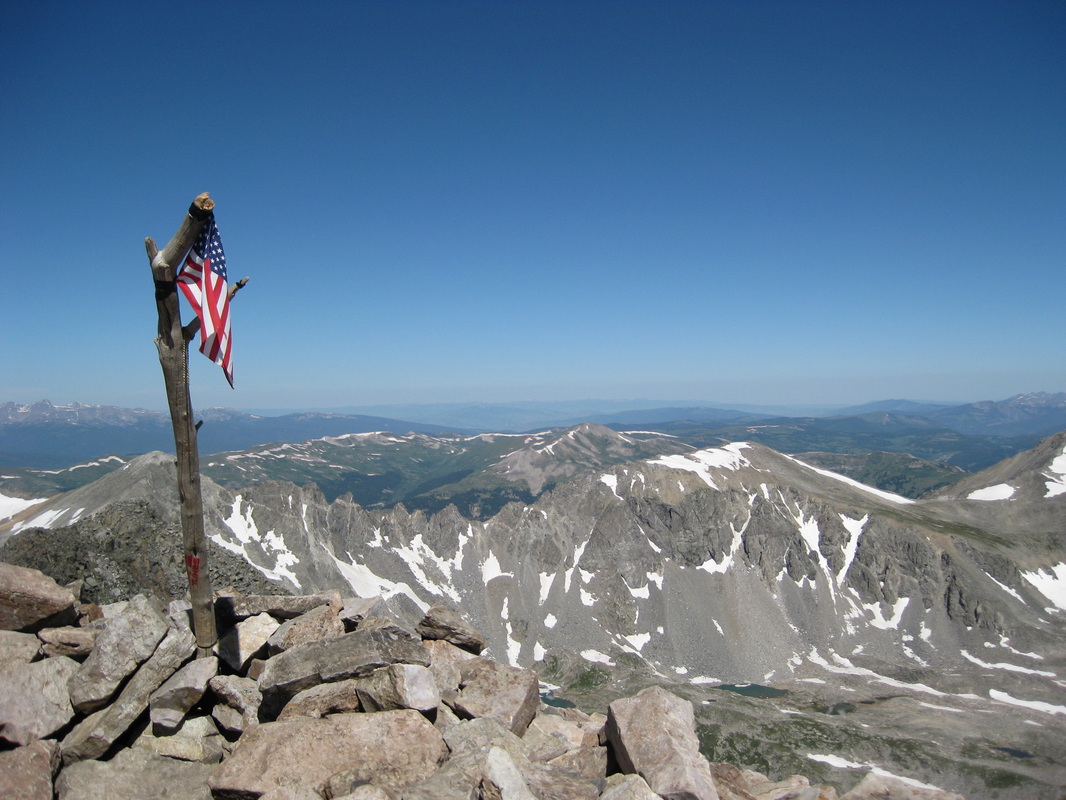
View from Quandary's summit.
Quandary Peak
We climbed Quandary Peak in the middle of August, and stumbled
upon the best weather I have ever experienced on a 14er. As usual the morning
was chilly, but it soon grew incredibly warm, pushing sixty-five, maybe even
seventy, degrees.
This hike was another very special one because accompanying Tyler
and I were my three good friends, Gail, Stacey and Don. None of them had done a
14er before, but had always wanted to, so I offered them to come along.
We snuck into a convenient little parking space right next to the
Monte Cristo Trailhead, and were quickly on the move. For a short time, the
trail wound through a heavily wooded forest, then gradually opened up as we
neared tree line. Here we broke into the sunshine and the Heat Wave Hike would
begin. I had told our friends to bring fleece jackets, windbreakers, hats and
gloves because it can get quite chilly at this altitude. (Stacey later asked me
if that was a cruel joke so she would have to carry more and be slower. I told
her that I have never been on a 14er climb on which I did not have to break out
my wind jacket, hat or gloves).
Initially I had thought Quandary to be a fairly easy 14er. But I
failed to read carefully the elevation we would be gaining in three miles: over
3200 feet. Needless to say, our uninitiated friends were huffing and puffing
considerably. But we all eventually found our own rhythms and pushed on.
After a short while we reached the first shoulder
after emerging from the trees. Here we spotted a mountain goat and her kid, so
out came the cameras. We were amazed that the mountain goats were not bothered
by our presence at all (and there were a
lot of people up there today; by the end of the day we must have seen at
least 300). Tyler, Gail and I decided that now would be a good time to take a
short break and let Don and Stacey catch up.
By now we were about halfway to the top, with the last half being
the more difficult. The climb was almost vertical, and all of our paces slowed
considerably. But on we went: left foot, right foot, left foot right foot.
Tyler, being the faster one, forged ahead and decided to save a nice big place
for us on the summit. I decided to stay behind with Gail, and Don and Stacey
were just a few minutes behind us.
Eventually we made it! A bright, if not wind
tattered, American flag greeted us at the top of 14,265 feet. It fluttered from
what appeared to be a gnarled branch from a bristlecone pine tree from down
below. I wonder who decided to carry half a tree up here. Underneath it, chained
to the rocks, was a black capsule with the roster inside. I signed it for Tyler
and myself, then handed it to Gail. Stacey and Don appeared ten minutes later
and we all celebrated their first 14er! Tyler had saved us a magnificent spot in
a large windbreak, and we sat and recharged with sandwiches, grapes, brownies
and Don even carried up a flask of wine. Now I do not condone drinking alcohol
at this altitude, but a small celebratory sip would be okay. Just another new
thing to say that I’ve done. Another woman was celebrating her
40thbirthday at the top of Quandary today, and the whole summit broke into a
chorus of “Happy Birthday”. It was the coolest thing: all these people you do
not really know, but we all share something in common and celebrate with each other!
After lunch Stacey went around the summit to take
pictures (she is an excellent photographer) and Gail took a nap in the
windbreak. A few feet from us, we suddenly noticed a group of kids pitching very
large rocks down the side of the mountain. We immediately let them know that
that was not acceptable, and here I need to make a note: There
is no reason for anyone to toss rocks down a mountainside. You never know who is
going to be below you, and even a tiny pebble thrown from a thousand feet or
more above can mean lights out for an innocent hiker down below. Don’t do it!
The worst part was that the parents were sitting right beside the children
who were tossing the rocks, and didn’t do a thing about it.
Aside from the rock-flingers, we had a very enjoyable time on the
summit. Once again, the view floored me, and even Stacey said that the pictures
she was taking did not give justice to the real thing. But she, along with Don
and also Gail, were grateful that they had experienced the real thing. Another
few minutes on the summit, and then we packed up and headed down. Here the
jelly-legs set in with everyone, even Tyler and I, who tend to not get them as
much anymore. But this had been a very tedious climb and our legs were shaky
with exertion. No matter, we all descended just fine. In fact, we ran into,
almost literally, for they were walking right on the trail, several more
mountain goats and their kids; one even had twins with her.
By about two in the afternoon we reached the cars. Despite having
eaten on the summit, we were all famished. So we decided to head back the way we
had come and stop in the Brown Burrow Café in Fairplay. That grilled cheese
sandwich and raspberry iced tea hit the spot, and soon we were in a food coma.
We reminisced about our fabulous hike, but then, stuffed, sunburned and
exhausted, we drove home and headed to our separate houses, plopping
contentedly and tiredly onto our couches.
Mount Bierstadt
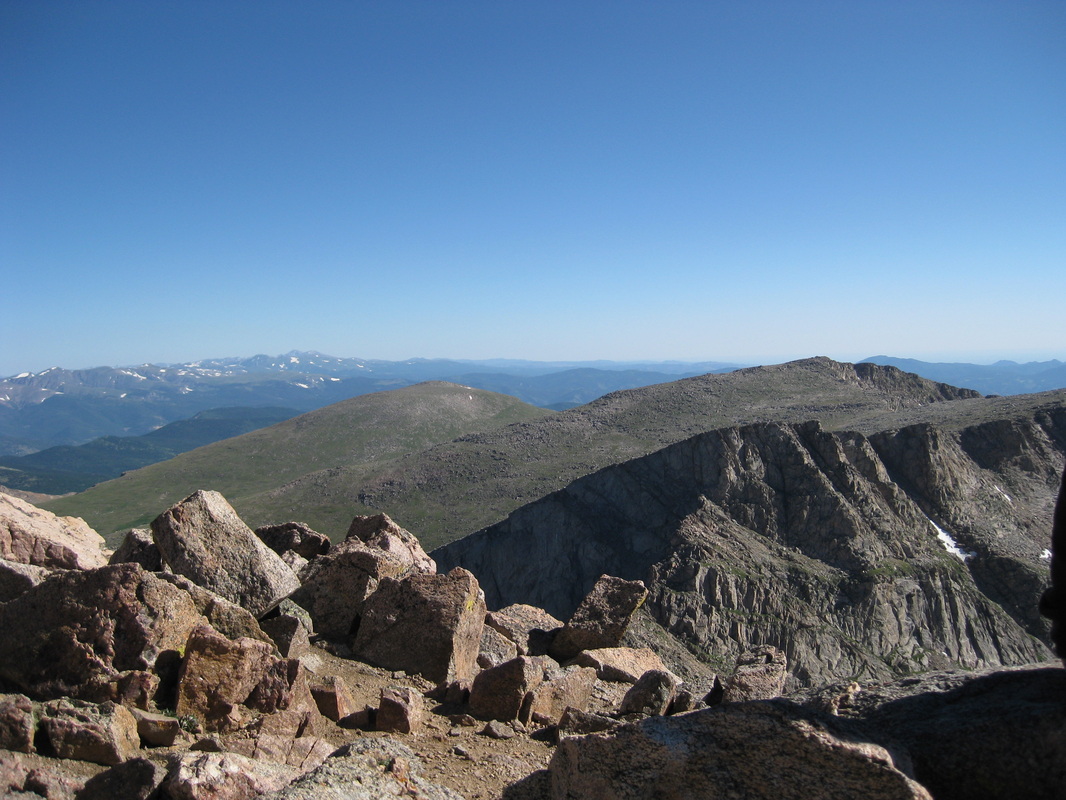
View from Bierstadt's summit.
Mount Bierstadt
Early on a Sunday morning I reached the trailhead at the top of
Guanella Pass. The thermometer in the car read 37 degrees Fahrenheit. I found a
good spot to park, slung my pack over my shoulders and headed down the trail.
This morning I was by myself. Tyler had decided to take the day to work on some
projects around the house, but I couldn’t resist the mountains’ call.
The trail up Bierstadt is one of the easiest I’ve done so far,
but it didn’t always used to be that way. Years ago, you had to slog through
about a mile and a half of willows and boggy marsh at the base of the mountain.
But thanks to some very kind souls, boardwalks now make traversing the willow
fields much easier and quicker (and your boots stay dry).
Once past the willows, I crossed a frigid little creek and then
the climb began. Although I had begun the hike early, there was quite a bit of
traffic already. But it’s always fun to stop and chat with other folks who have
climbed different 14ers. Once you catch your breath, though, you wish each other
a nice hike and part ways, or group up and hike
together.
I continued to ascend at a steady pace, passing several groups
and being passed by several super-humans sprinting to the top. One fellow was on
his way down and I asked him what time he had started his hike. He said that he
had been up at the summit way early, to catch the sunrise as a matter of fact.
Note to self: I want to do that one day also! Could you imagine what a
spectacular sunrise that would be?
As I was climbing Bierstadt’s shoulder, I passed a group of young
guys. I was amazed because here I was, bundled up in my fleece jacket, my
windbreaker, hat and gloves, and here they were in shorts and cotton shirts.
Along with the chilly 37 degrees, the wind was howling today, adding a nippy
wind chill. I figured they would turn around if they got too cold, and passed
them by. One even made fun of my “hiking sticks”, but in the end, who was
passing who?
After a steep ascent up Bierstadt’s shoulder, you get a little
reprieve of level ground and shelter from the wind. I figured it to be a great
spot to stop and take a pee. This proved to be more difficult than I thought,
because traffic by now had really picked up. I had to hunker next to a snow
field in a small gully, and also ended up peeing on my shoe. Ahh, such a
glamorous lifestyle…
One frozen energy bar later and I was back on the trail. The
final push to the summit is a steep scramble through very large and
discombobulated boulders. It’s very easy to lose the trail, so I had to pay
particular attention to the cairns marking the best route, although sometimes I
was forced to guess. Fifteen minutes later I came out of the boulder field and
took the short ridge to the summit. The view of the surrounding area was
breathtaking: Mount Evans ahead of me, the Sawtooth below, and a tiny speck far
down the trail, which I presumed was my car. I eyeballed the Sawtooth traverse,
a finicky ridge that connects Bierstadt to Evans. It can, and has been, done,
but rumor had it that it was a technical climb for experienced climbers only,
which I wasn’t. Also, I had no idea what route to take back down, since you
shouldn’t traverse the ridge back the way you had initially come. So I decided
against that particular adventure today. There is always next
year…
Tucked into a sheltered nook atop the 14,060-foot summit, I
enjoyed a lovely half hour with my eyes closed. A foot or so away from my head,
behind a sizeable boulder, I could hear the wind ripping and howling down the
exposed ridge. I gobbled down a tasty salami and Swiss cheese sandwich before
slowly packing and getting ready to leave. As I looked up, the thinly-dressed
group of guys clambered onto the summit. One poor fellow was wrapped in what I
assumed was a bed sheet and was shivering and shaking like a leaf; his friends
were rubbing his hands and back trying to warm him up. They also mentioned that
they had brought no food or water. Although amazed at their unpreparedness, I
searched my pack for some extra food to give them, but came up empty, as I had
packed lighlty. Through the wind I could hear them say that next time they did
this, food, water, and extra clothes were definitely a must. I guess they
learned their lesson the hard way.
I descended fairly quickly, not suffering from jelly-leg syndrome
today. By eleven I had reached my car, and bumbled down the dusty road toward
home.
Mounts Democrat, Lincoln, Cameron & Bross
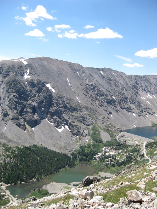
Democrat, Lincoln, Bross seen from Quandary Peak.
Mounts Democrat, Lincoln, Bross & Cameron
It was mid-June, and our climbing season had finally begun. Most
climbers would start late-May, but Colorado’s western slope had unseasonably
heavy snow this winter. Even so, we (my boyfriend Tyler, our neighbor Bryan and
myself) were not able to even reach the trailhead because the road was covered
in four-foot snow drifts. We attempted to drive through one in the early
morning gloom in Bryan’s red and white Chevy truck, but quickly decided against
it. (Bryan had just moved here from Illinois, and wanted to try his hand at
climbing a 14er). So we parked a mile and a half down the road, strapped on our
packs and plowed through the knee-deep snow and
willows.
A short while later we arrived at the trailhead. The official
sign barely poked out over the deep snow and the door to the outhouse was jammed
shut by a snow drift. I looked up at where the trail should be (we had been here
the year before) and saw a massive and steep snowfield. The creek we needed to
cross was flanked on either side by steep snow. This could be quite the
adventure.
Nevertheless, we plowed on. Bryan and Tyler scurried over the
creek without a problem, but I stopped and got out my hiking poles. A thin layer
of ice covered the tiny rocks and I had no desire to start the trip off with wet
and cold feet. But with the poles, it wasn’t a problem. We hiked on. This next
part of the trail was free of snow and we made quick work of it. We crossed a
small marsh and then stopped at the bottom of the snow field. Last year, there
had been a trail here; but now, this side of the mountain was covered by several
feet of hard, packed snow and ice. Now ideally one should have an ice axe here,
but we didn’t. So we jammed our shoes into the snow to make little steps for
each other and began the climb up to Mount Democrat. Once past the snowfield,
the going became relatively easy. We found the trail, which was mostly
snow-free, except for a few small snowfields that we had to cross. At one point,
we stopped to observe two ptarmigan looking for breakfast in the tundra. They
camouflage so well that we literally almost trod on them. I got out my camera to
snap a photo, but immediately the camera died. So I retrieved Tyler’s camera out
of his pack. But, as these things go, his battery died also. The only photos of
this climb were taken with his cell phone. Note to self: always charge your
camera the night before going climbing.
We followed the switchbacks back and forth until we reached the
saddle between Democrat and Cameron and took a breather, and I needed a pee
brake. This is not the easiest thing to do with 1) two guys climbing with you
and 2) on a mountainside with nothing to give you some privacy. But I figured
that we’re all good friends here and told them not to look.
We turned left and ascended the looming Democrat. The going got a
little tougher now, mainly because of the steepness, and it was out first
fourteener of the season, so we were not entirely acclimated yet. But slow and
steady we reached the false summit where it leveled out on to a beautiful snow
field (that we almost jogged across) before making the final push to the
summit. It was 7:45 in the morning, and we were on the roof of Colorado at
14,148 feet.
Tyler and I congratulated Bryan on his first climb. In between
wheezes he accepted out congrats. Meanwhile, I was sucked into the majesty of
this place. I always say that if I could chose my place to die, it would be on
one of these summits. (Not that I have this planned, but if given the choice.)
Several snowflakes drifting through the bright blue sky brought me back to
earth. But it was nothing to worry about. We ate a few snacks, packed up and
descended back down onto the saddle.
We asked Bryan if he had had enough for the day.
We didn’t have to do all four. But he wanted to go on. So we did. This is a
steep climb on an exposed ridge before it levels out on the summit of Mount
Cameron. Technically, Cameron is
not considered a true fourteener because there is not enough elevation gain
between the two ridges, but in my mind, Cameron is a legitimate 14er. (This
meant that I actually had to climb 58 14ers, instead of 54.) So we casually
walked across Cameron’s broad summit at 14,238 feet, heading toward Lincoln’s
distinctive peak.
From Cameron we descended a short bit, then ascended Lincoln’s
summit, at 14,286 feet. By now we were getting somewhat tired, but with one left
to go, I admit to relinquishing to summit fever. We descended Lincoln and
pressed on to Bross.
At the time, I was under the impression that the summit of Mount
Bross was still closed. It had been the year before and we had never summited.
But nothing that we saw gave us that impression, and countless other people were
headed toward the peak. So we did too. Although the walk to Bross is very flat,
Bryan was on his last legs. But we pushed him on, assuring him that he could do
it. And he did. By late morning we had reached Mount Bross, rounding off our day
at 14, 172 feet. The three of us collapsed in a small windbreak and rested for a
good half hour. But on the horizon I could make out storm clouds looming closer,
and, as is the Golden Rule when climbing at high altitudes, you need to descend
when storms threaten. So we scrambled down the Bross’ scree slope, afflicted
with the dreaded jelly-leg syndrome (this is when your legs are so tired and
unaccustomed to going down, that they literally feel like Jell-O; I played a
game in my head trying to decide what flavor Jell-O they would
be).
Eventually we made it. We crossed the creek once more and sloshed
through the now melting snowfields. Needless to say, we got to the truck
exhausted and drenched, but very happy. We stopped shortly in Alma at the local
coffee place to wake us up a bit, then drove the long way
home.
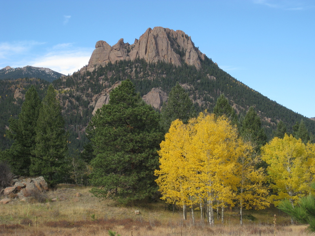
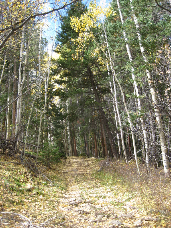
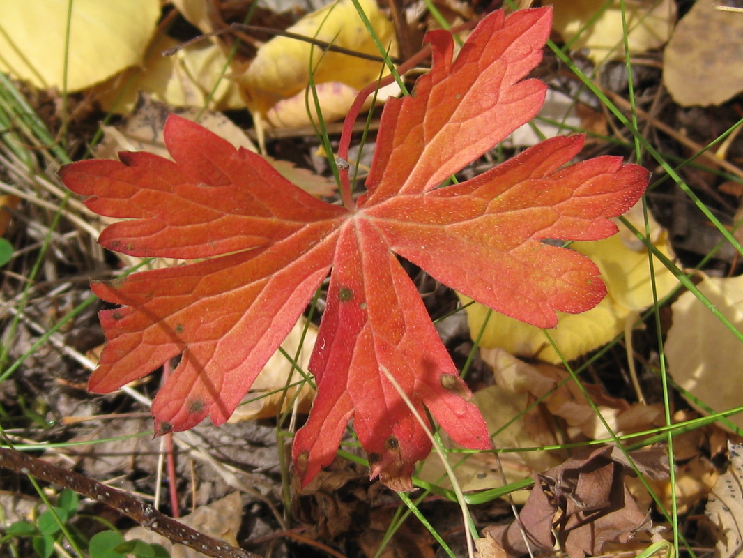
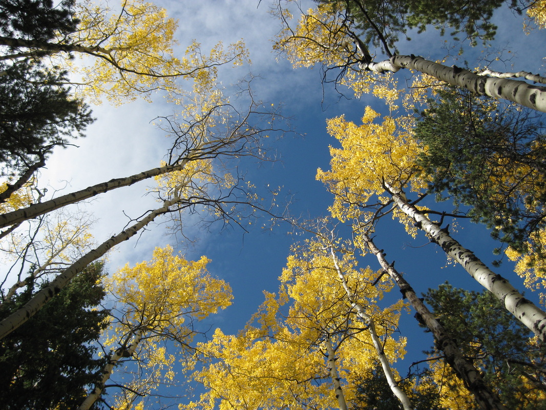
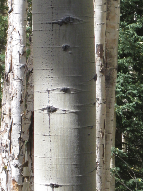

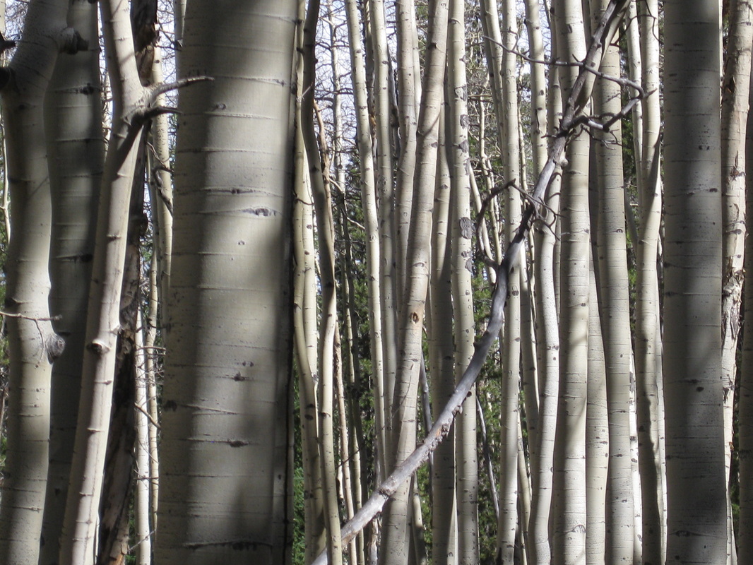
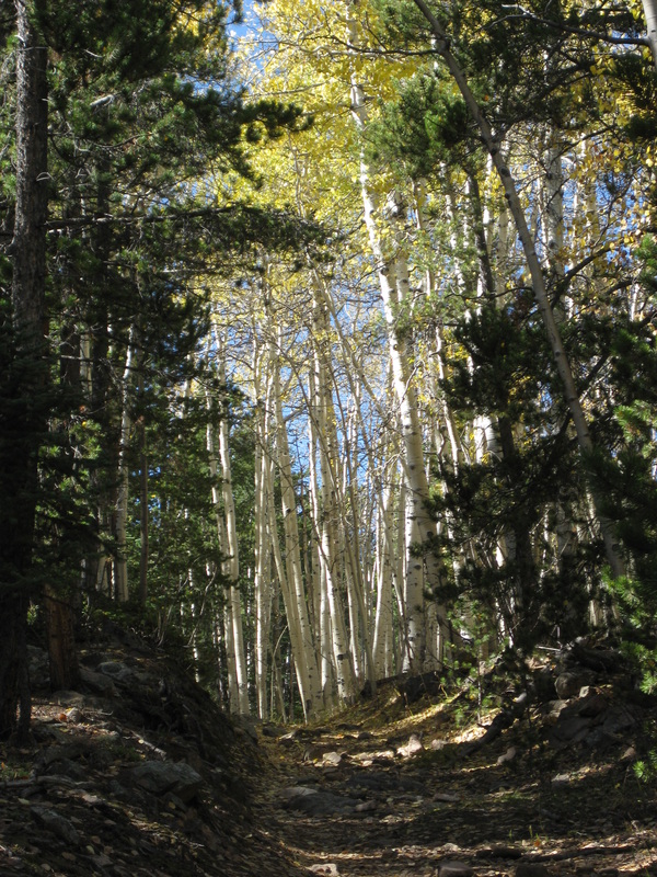
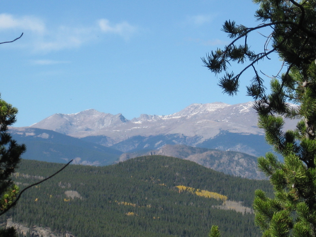
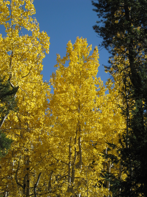
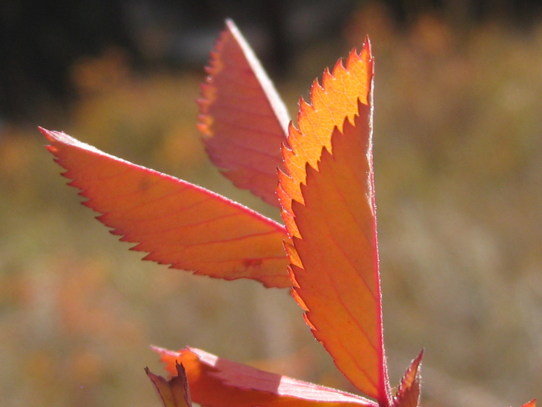
There's Nothing Like A Colorado Fall
A good friend of mine and I ended up on this great trail yesterday. Inititally we had intended to hike the Gashouse Gulch Trail near Wellington Lake. However, after a lenghty (and nevertheless exciting) off-road trip that led us past anything that looked familiar, we turned the Jeep around and headed to a trailhead we had seen on our way out earlier. Once there, we noticed it was actually a part of the Colorado Trail. We parked the Jeep, outfitted the dog with her own fancy backpack and headed off into the woods. We trekked about three miles in, to the junction of the Colorado Trail and Payne Creek Trail, then took Payne Creek for a short while further. After a short lunch, we decided to head homeward, stopping more than several times to photograph the breathtaking aspen trees and mountains that we could glimpse here and there through the pine trees. The weather was absolutely marvelous, topping out at 65 degrees. It's so funny to think that only last weekend temperatures dipped down to below thirty degrees and snow covered rooftops and meadows. Only in Colorado!
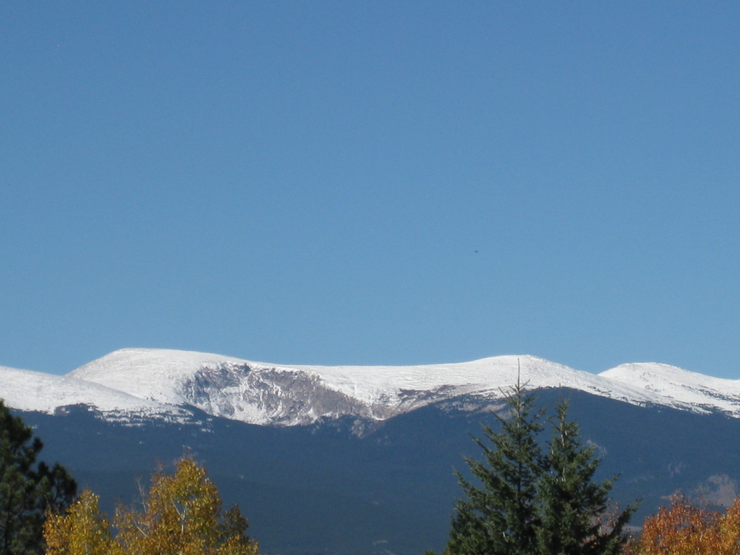
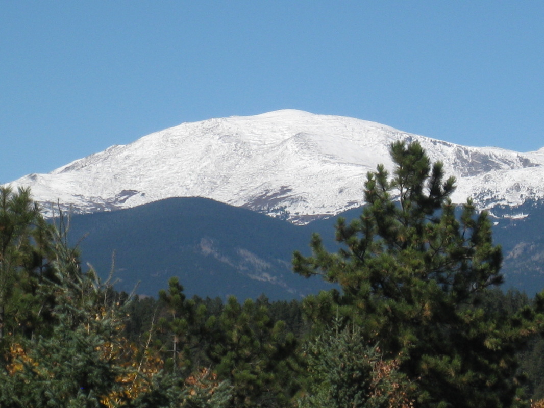
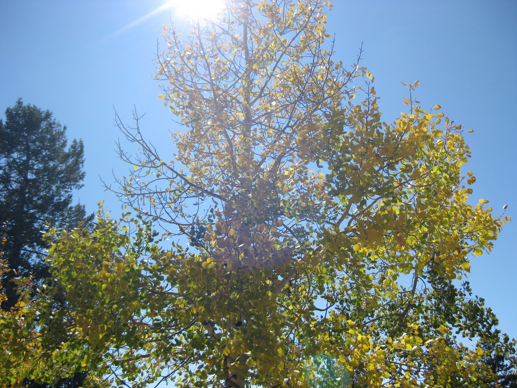
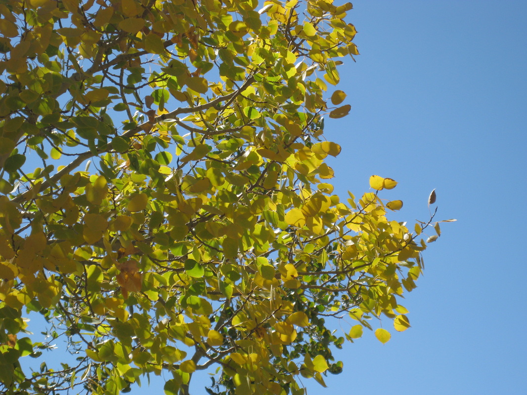
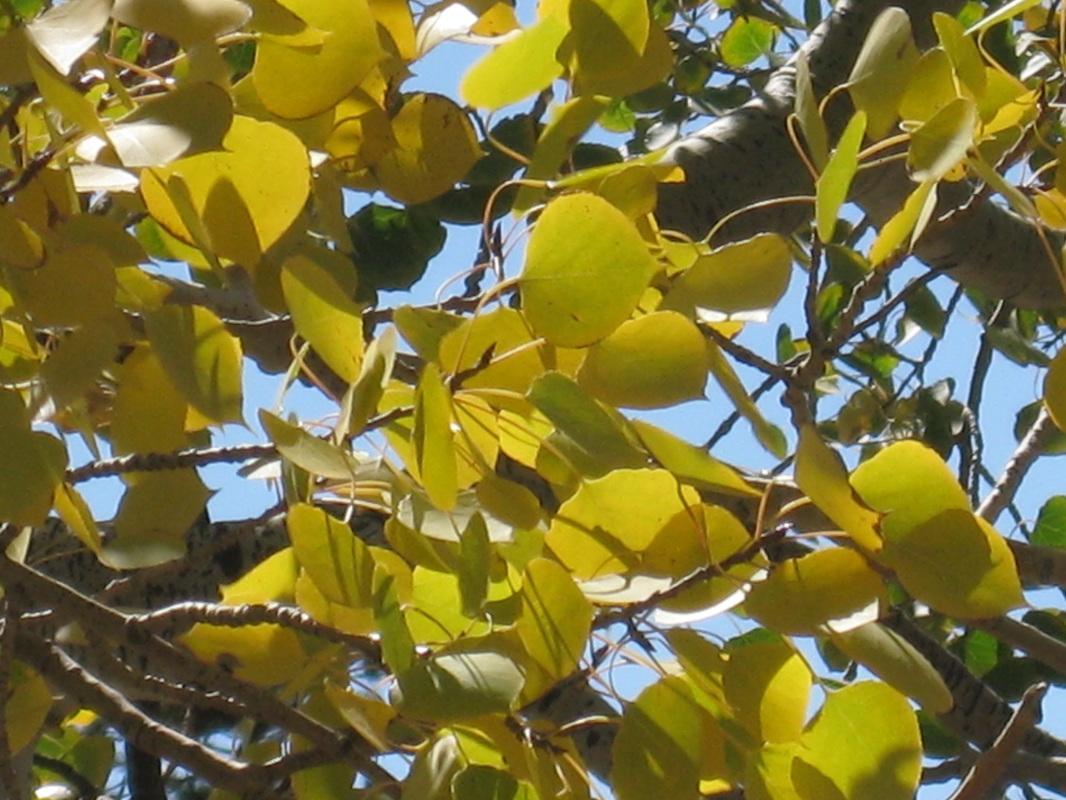
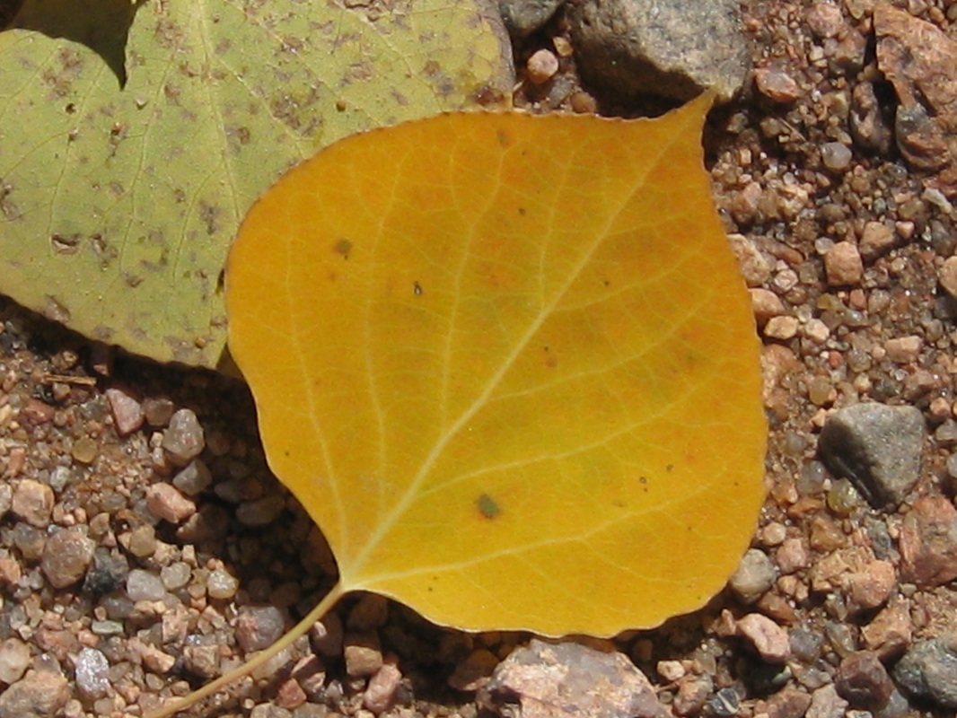
Fleeting Fall
Above are a few more shots of fall in its last few days of splendor. Most aspen now stand bare and silent, but a few still cling desperately to their golden foliage. Higher up, Mounts Logan and Rosalie are already covered with a thick blanket of snow.
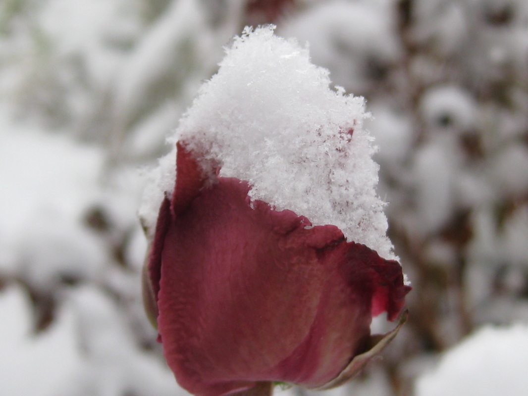
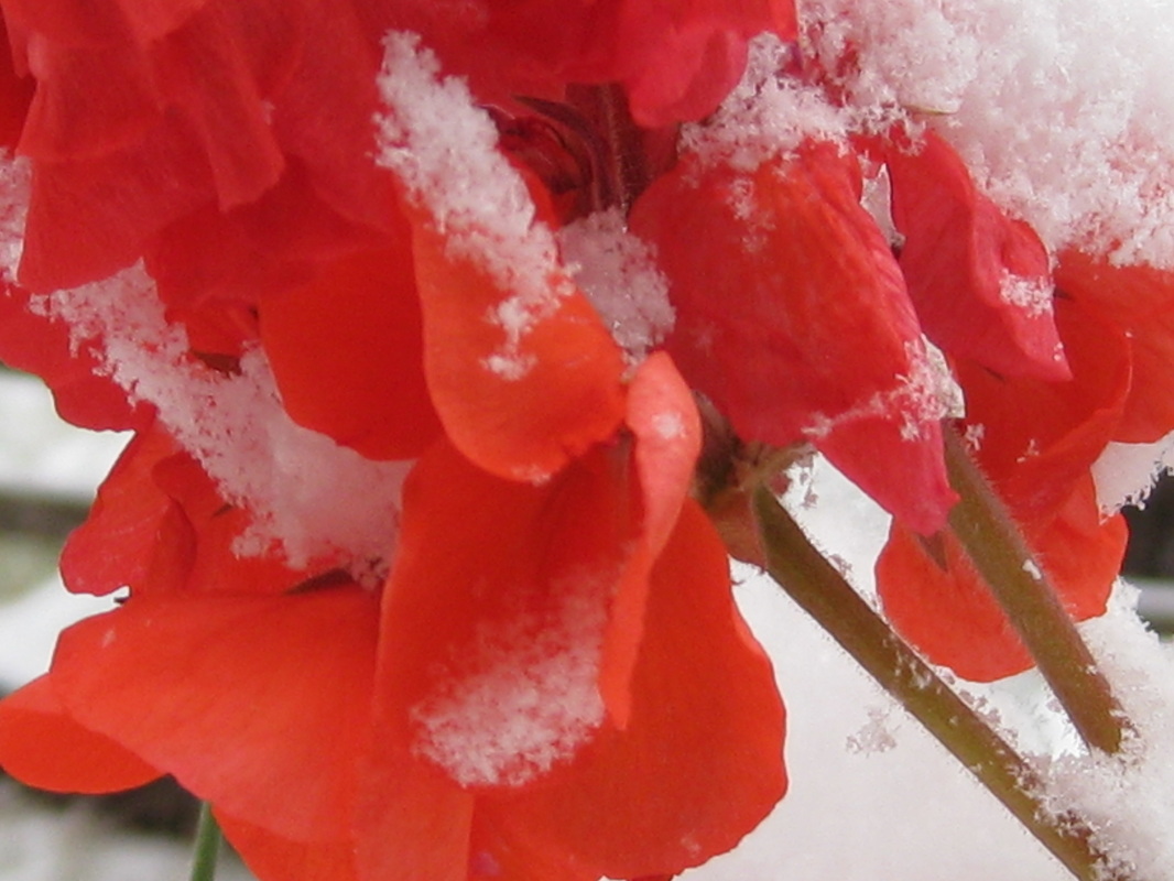
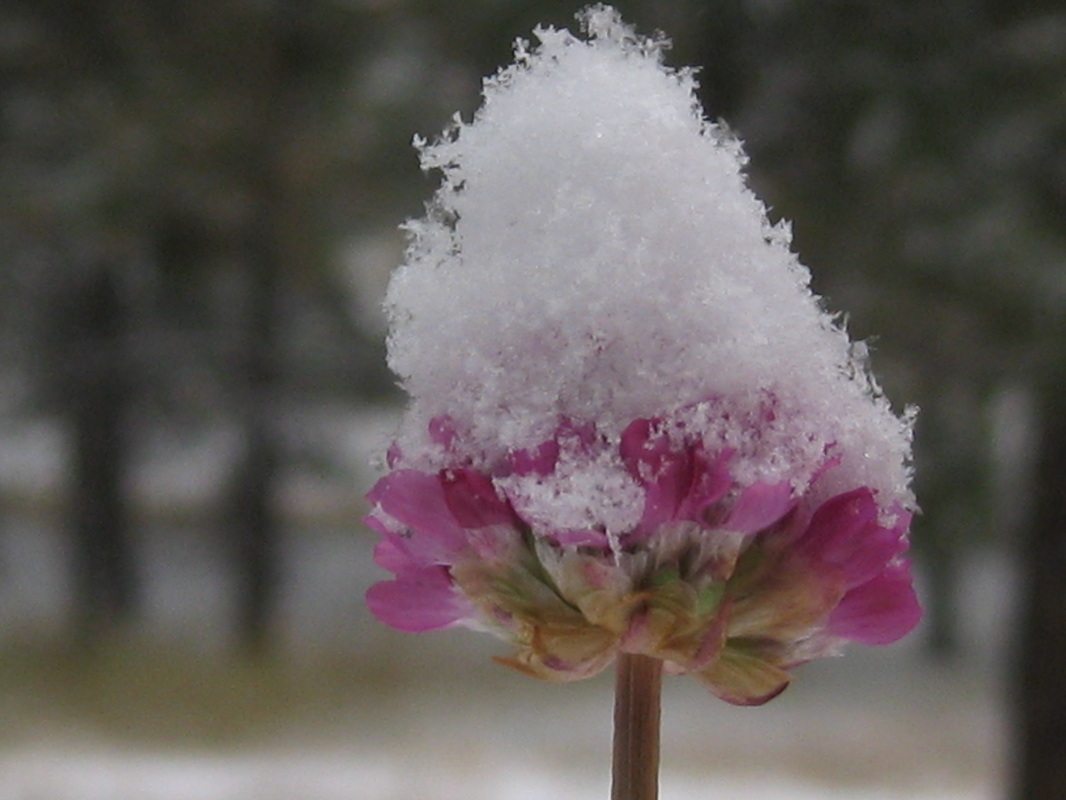
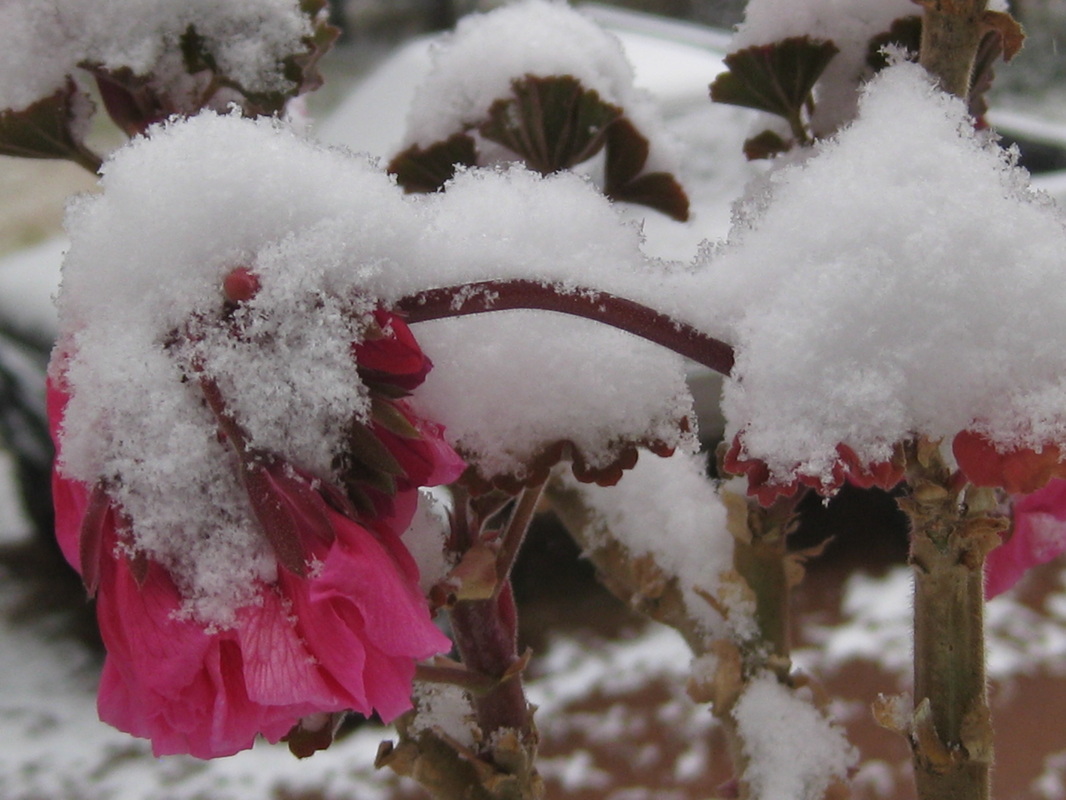
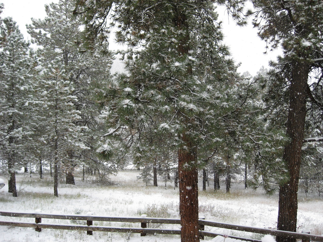
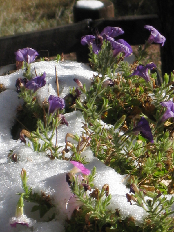
First Snowfall
Our first snowfall of the season officially occured on Saturday, October 8, 2011. It was quite significant, leaving flowers, meadows and trails covered by about four inches of white fluff. Of course you wouldn't think so now, as the lovely Colorado sun has melted it already. Throughout the mountain community, the general consensus was that the first snow day is a perfect day to spend in the kitchen. Several friends and neighbors of mine, and myself included, spent the day cooking up delicious and warming chili as well as enticing, homemade loaves of bread. The day concluded with a short hike and a few shots with the camera.
Behind the Mystery
We’ve all been watching, photographing and enjoying the famous
fall colors that grace Colorado every year. But why do the leaves shed their
vibrant green for such a colorful display? A few years ago I took a biology
class at college and one of the topics we covered was plants, and it wasn’t long
before we came to asking why leaves of deciduous trees turn color. My professor,
and textbook, had a fairly simple explanation to this phenomenon.
As the leaves change color in fall, a chemical process takes place. During
spring and summer, the leaves produce food for the tree to
survive on. A green pigment within the leaves (called chlorophyll) absorbs
sunlight, and then uses that sunlight to change carbon dioxide and water into
sugar and starch, which nourishes the tree. This process is called
photosynthesis. Leaves also contain other pigments, such as carotene, which
show themselves as yellows and oranges; however, these colors are not seen for
most of the year, because the green chlorophyll dominates. That is, until fall
arrives. A decrease in sunlight and overall temperature trigger the tree to
prepare for winter. Much like when a bear hibernates, deciduous trees rest over
the winter and live off the food that they produced and stored over the summer.
As the chlorophyll food factories in the leaves begin to shut down, the bright
green pigments begin to fade, and are replaced by yellows, oranges and reds.
The yellow and orange pigments have been in the leaves all along, except that
the chlorophyll hid them from our view. But the red color comes about in a much
different way. When warm autumn days are followed by cold nights where
temperatures drop below 45 degrees Fahrenheit, glucose becomes trapped in the
leaves. Sunlight, in combination with the cold nights, turns the glucose into a
red color, also called anthocyanin.
So now you know the ins and outs of Colorado’s spectacular fall
display. I hope you will continue to enjoy everything of what Colorado has to
offer!
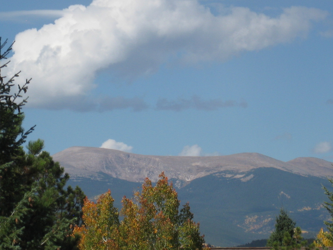
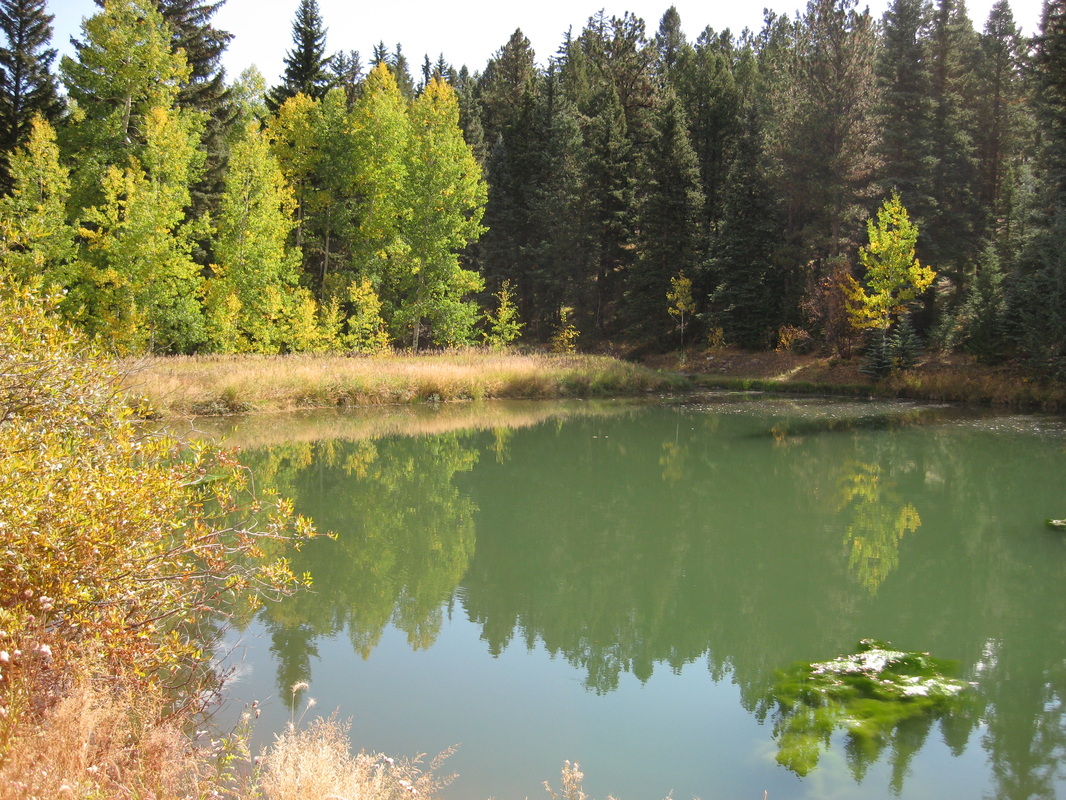
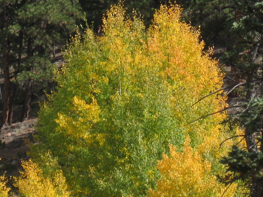
Beautiful, Colorado Fall!
Above are a few photos of our bike ride through the splendor of Fall in Colorado. Nothing beats the feeling of the warm sun on your back, coupled with the chill on the breeze. Golden leaves danced across the road and the air was thick with the musty, earthy smell of leaves and grasses abandoning summer's glory. The clouds are different too. No longer do thick and rolling thunderheads build up over the mountains; rather, wispy tufts seep across the sky, looking ever more like they will bear snow.
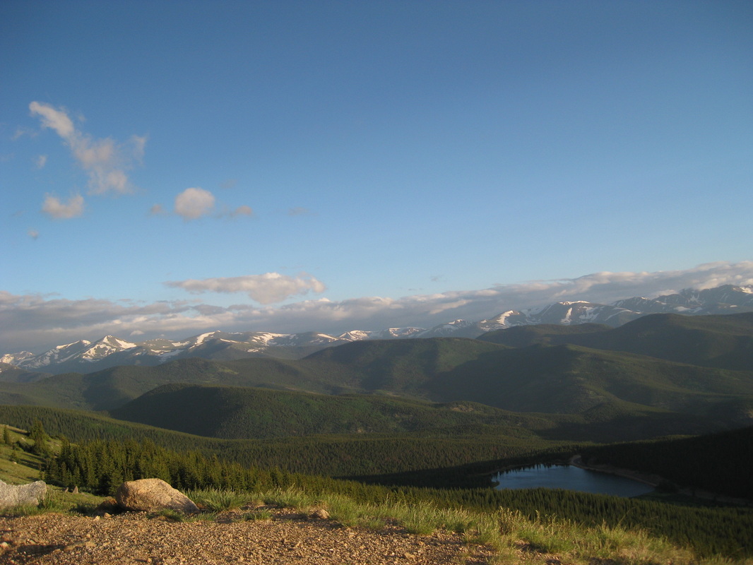
Mount Evans at the beginning of summer. Now, a dusting of snow covers the high mountains.
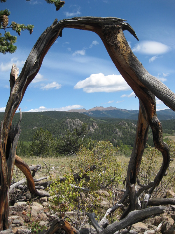
A window into Colorado, Kenosha Pass.
"Leave No Trace" Hiking
Mountains around the world, including Colorado's Fourteeners, may seem immortal. Yet the environment above treeline is very fragile; plants grow very slowly because of the short growing season and harsh conditions (wind, cold temperatures, and high altitude). Even something as minute as a bootprint on a bed of forget-me-not flowers can take years to recover, and frequently used short cuts can take hundreds of years to fully recover. Here are some things you can do to minimize your environmental impact:
1. If possible, hike on weekdays instead of weekends. Not only will this increase your solitude, but also decrease trail and campground congestion.
2. Always stay on the existing routes.
3. Walk through muddy or snow covered spots on trails, not around them.
4. When encountering braided trails, use the most eroded trail.
5. If a trail does not exist, use durable surfaces such as rocks, snow and ridges to travel on.
6. Avoid gullies and steep, loose slopes. These are already prone to erosion and vegetation loss.
7. When camping, use existing campsites.
8. Camp below treeline, where vegetation is less fragile.
9. Pack it in, pack it out. Never leave trash behind.
10. Leave what you find.
(From The Colorado 14ers: The Standard Routes and Colorado's Fourteeners: From Hikes to Climbs, Second Edition by Gerry Roach)
The Ten Essentials
Aside from the pack you are carrying and the clothes on your back, ten other essentials are necessary when heading out on your climbing endeavor:
1. Navigation (map and compass)
2. Illumination (headlamp or flashlight)
3. Hydration (water, Gatorade)
4. Nutrition (power bars, trailmix, sandwhich, fruit)
5. Sun protection (hat, sunscreen, sunglasses, lip balm)
6. Insulation (fleece/polypro pants/shirts, jacket, gloves)
7. First aid kit
8. Mutli-tool/pocket knife
9. Matches or other fire starter
10. Rudimentary shelter (i.e. thermal blanket)
These are just the basics and should always be kept in your pack. They will protect you from most of what a Fourteener can dish out. However, some mountains require ropes, ice axes and helmets to ascend and descend, and some may require overnight camping trips.Just be aware of where you are going and what you will need, and the experience should be an enjoyable one! (And I always recommend bringing a camera!)
(From The Colorado 14ers: The Standard Routes)
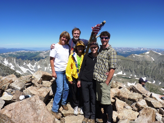
No climbing this weekend, but I came across this great picture of our group ontop of Quandary Peak.
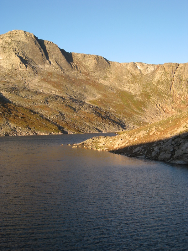
Sunrise on Mount Evans, overlooking Summit Lake.
Mount Sherman 14,036 feet
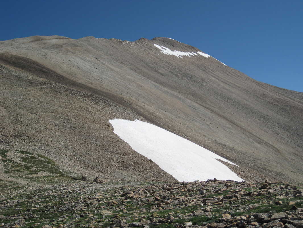
July 31, 2011
Looking up at the summit of Mount Sherman. Gorgeous day...minus the flat tire :)
Below is the full story:
Looking up at the summit of Mount Sherman. Gorgeous day...minus the flat tire :)
Below is the full story:
Mount Sherman
We climbed Mount Sherman at the end of July. Monsoonal rains had
rapidly halted our climbing plans, but I was anxious to climb again.
As usual, we left the house by 4:30 am and watched the sky lighten
over South Park as the sun slowly rose. We reached the town of Fairplay and
turned onto Four Mile Creek Road, which led us to the trailhead. We had taken
my Subaru this time, and I was wary of the road. Several of the rocks were
definitely capable of slicing open one of my tires. On that note, I managed to
find the only rogue screw on the road, and when I got out of the car to put on
my boots, I heard the unmistakable sound of air hissing out of a tire. Damn:
guess we’ll have to change a tire when we get back.
So, as my tire slowly became flatter and flatter, we headed up
the road to the trailhead. The approach to Mount Sherman was a nice meandering
and easy trail, leading us past haunted mines and abandoned cabins and mine
shafts. One of the these was appropriately named the Dauntless Mine.
As the sun continued to rise, I turned around and gazed on the
open tundra covered in a rainbow of wildflowers and shimmering glacial lakes.
Even writing about it now I get goose-bumps: I love these
mountains so much, it’s incredibly difficult to describe.
The trail was very crowded this day, so we pushed on. We passed
several groups on our way up, being in better shape than on our first climb. (I
had been doing yoga and going on daily bike rides and runs almost religiously.)
At last we reached the saddle between Mount Sherman and Mount
Sheridan. (Flanking Sherman are two thirteeners, Mount Sheridan and Gemini
Peak, which we had planned on climbing that same day. But because of our leaky
tire back at base, we decided to scale only Sherman today, and leave the other
two beauties for next year. That’s the beauty of mountains, they are immortal
and will always be there).
The approach to the summit of Mount Sherman takes you along a
gorgeous and exposed ridge. On one side you can see Fairplay and South Park, on
the other what I assumed to be Leadville and a large lake which I guessed to be
Turquoise Lake. It’s very surreal, to stand atop this divider between two worlds.
From here on out, Tyler and I simply followed the ridge to the summit, topping
out at 14,036 feet. A bright and flapping American flag greeted us at the top,
along with several other hiking groups. Tyler and I settled down in a snug
windbreak and ate our lunch. While Tyler took a power nap, I snapped pictures
and signed the roster tucked snuggly into a capsule on every Colorado summit.
In the distance I could make out the summits of Lincoln, Democrat and Bross,
and just behind them, Quandary Peak. Once again, I was left breathless by the
stunning beauty of this place.
After a short while, Tyler and I shouldered our packs once more
and descended the ridge back down to the saddle. Once there, we witnessed
several people sliding on their butts down the snowfields. I considered this,
but chickened out, and we followed the rocky trail around the snowfield. But
then we reached a second patch of snow, and I got a second chance. So Tyler and
I heaved our packs onto our bellies and slid down. It was an absolute blast! It
may be my new favorite thing to do in the summer!
Since we were making such good progress, we decided to take some time to photograph
the spectacular wildflowers and explore the abandoned cabins and the Dauntless
Mine. Countless of pictures later, we reached the trailhead and followed the
road back to my gimpy car. As expected, the tire had lost a substantial amount
of air…although not as much as I had expected. Luckily, there was a spare donut
tire nestled in the trunk of my car, and Mr. Make-Everything-Better had us on
the road in no time. Thus we were homeward bound, another beautiful mountain
etched in my memory.
